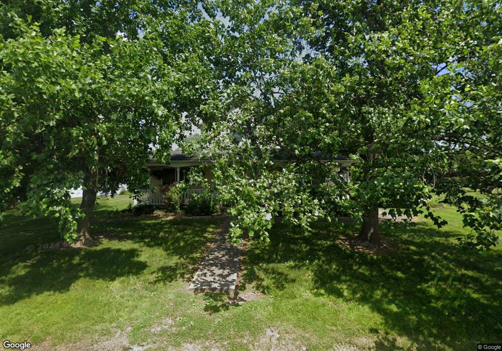
511 Duncan St Hawk Point, MO 63349
Estimated Value: $278,805 - $342,000
About This Home
This home is located at 511 Duncan St, Hawk Point, MO 63349 and is currently estimated at $308,451, approximately $173 per square foot. 511 Duncan St is a home located in Lincoln County with nearby schools including Hawk Point Elementary School, Troy Middle School, and Troy Buchanan High School.
Ownership History
We collect this data history from publicly available records. To have your information removed, we recommend requesting removal directly through your county’s website.
Purchase Details
Purchase Details
Home Financials for this Owner
Home Financials are based on the most recent Mortgage that was taken out on this home.Purchase History
We collect this data history from publicly available records. To have your information removed, we recommend requesting removal directly through your county’s website.
| Date | Buyer | Sale Price | Title Company |
|---|---|---|---|
| -- | None Available | ||
| -- | None Available |
Mortgage History
We collect this data history from publicly available records. To have your information removed, we recommend requesting removal directly through your county’s website.
| Date | Status | Borrower | Loan Amount |
|---|---|---|---|
| Open | $156,122 |
Tax History
We collect this data history from publicly available records. To have your information removed, we recommend requesting removal directly through your county’s website.
| Year | Tax Paid | Tax Assessment Tax Assessment Total Assessment is a certain percentage of the fair market value that is determined by local assessors to be the total taxable value of land and additions on the property. | Land | Improvement |
|---|---|---|---|---|
| 2025 | $2,245 | $36,579 | $1,993 | $34,586 |
| 2024 | $2,207 | $34,054 | $1,245 | $32,809 |
| 2023 | $2,195 | $34,054 | $1,245 | $32,809 |
| 2022 | $2,078 | $32,454 | $1,245 | $31,209 |
| 2021 | $2,087 | $170,810 | $0 | $0 |
| 2020 | $1,811 | $149,620 | $0 | $0 |
| 2019 | $1,813 | $149,620 | $0 | $0 |
| 2018 | $1,858 | $28,787 | $0 | $0 |
| 2017 | $1,863 | $28,787 | $0 | $0 |
| 2016 | $1,667 | $25,132 | $0 | $0 |
| 2015 | $1,677 | $25,132 | $0 | $0 |
| 2014 | $1,698 | $25,422 | $0 | $0 |
| 2013 | -- | $25,422 | $0 | $0 |
Map
- 256 Walnut St
- 220 W Lincoln St
- 140 Turkey Creek Crossing Dr
- 339 White Rd
- 20 Valley Ridge Ct
- 2 Country Ridge Trail
- 298 Hawkeye Dr
- 20 Chinkapin Ct
- 161 Bethel Rd
- 10 Parc Forest Trail
- 804 Timber Creek Ct
- 401 Deep Forest Dr
- 89
- 89 Zips Rd
- 64 Mocking Bird Ln
- 299 Heady Spring Ln
- 0 Cedar Circle Ln Unit MIS25071955
- 000 Linns Mill Rd
- 150 Moore Estates Dr
- 45 Blue Line Ln
- 559 Duncan St
- 319 Cedar St
- 473 Duncan St
- 220 Maple St
- 339 Cedar St
- 318 Cedar St
- 359 Cedar St
- 0 Unknown Unit 17006929
- 0 Unknown Unit 17006925
- 0 Unknown Unit 17006922
- 0 Unknown Unit 17006921
- 0 Unknown Unit 17006914
- 0 Unknown Unit 17006911
- 0 Unknown Unit 16078558
- 0 Unknown Unit 16078541
- 0 Unknown Unit 16078530
- 0 Unknown Unit 16078521
- 0 Unknown Unit 16078499
- 0 Unknown Unit 16078071
- 0 Unknown Unit 737795
Ask me questions while you tour the home.