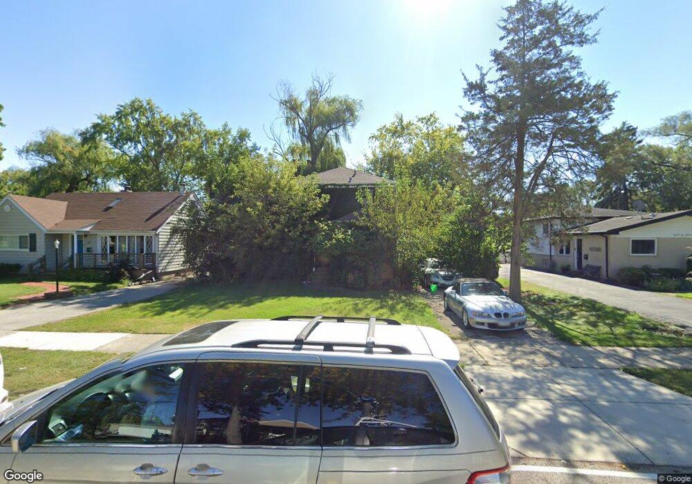
511 Harvey Ave Des Plaines, IL 60016
Estimated Value: $385,000 - $445,000
4
Beds
2
Baths
2,096
Sq Ft
$205/Sq Ft
Est. Value
About This Home
This home is located at 511 Harvey Ave, Des Plaines, IL 60016 and is currently estimated at $428,738, approximately $204 per square foot. 511 Harvey Ave is a home located in Cook County with nearby schools including Terrace Elementary School, Chippewa Middle School, and Maine West High School.
Ownership History
Date
Name
Owned For
Owner Type
Purchase Details
Closed on
Feb 10, 1997
Sold by
Nickle Scott D and Nickle Jean E
Bought by
Palacios Victor and Gulyban Palacios Pamela
Current Estimated Value
Home Financials for this Owner
Home Financials are based on the most recent Mortgage that was taken out on this home.
Original Mortgage
$150,000
Interest Rate
7.81%
Create a Home Valuation Report for This Property
The Home Valuation Report is an in-depth analysis detailing your home's value as well as a comparison with similar homes in the area
Home Values in the Area
Average Home Value in this Area
Purchase History
| Date | Buyer | Sale Price | Title Company |
|---|---|---|---|
| Palacios Victor | $166,000 | Attorneys Natl Title Network |
Source: Public Records
Mortgage History
| Date | Status | Borrower | Loan Amount |
|---|---|---|---|
| Previous Owner | Palacios Victor | $150,000 |
Source: Public Records
Tax History
| Year | Tax Paid | Tax Assessment Tax Assessment Total Assessment is a certain percentage of the fair market value that is determined by local assessors to be the total taxable value of land and additions on the property. | Land | Improvement |
|---|---|---|---|---|
| 2025 | $7,299 | $43,001 | $7,178 | $35,823 |
| 2024 | $7,299 | $31,000 | $5,981 | $25,019 |
| 2023 | $7,096 | $31,000 | $5,981 | $25,019 |
| 2022 | $7,096 | $31,000 | $5,981 | $25,019 |
| 2021 | $8,024 | $29,436 | $4,785 | $24,651 |
| 2020 | $7,958 | $29,436 | $4,785 | $24,651 |
| 2019 | $7,759 | $32,262 | $4,785 | $27,477 |
| 2018 | $7,456 | $28,368 | $4,186 | $24,182 |
| 2017 | $7,342 | $28,368 | $4,186 | $24,182 |
| 2016 | $7,189 | $28,368 | $4,186 | $24,182 |
| 2015 | $7,309 | $26,799 | $3,588 | $23,211 |
| 2014 | $7,171 | $26,799 | $3,588 | $23,211 |
| 2013 | $6,975 | $26,799 | $3,588 | $23,211 |
Source: Public Records
Map
Nearby Homes
- 289 Oxford Rd
- 321 Woodbridge St
- 373 Woodbridge St
- 155 Cornell Ave
- 300 S Cumberland Pkwy
- 776 Rockwell Ln
- 72 Nicholas Dr E
- 259 Cornell Ave
- 250 Anita St
- 890 North Ave
- 19 Marina Dr
- 879 North Ave
- 955 Rand Rd
- 372 Stratford Rd
- 567 Bedford Ln
- 510 S Mount Prospect Rd
- 1100 Evergreen Ave
- 381 N 4th Ave Unit B
- 458 N 5th Ave
- 420 Radcliffe Ave
- 519 Harvey Ave
- 505 Harvey Ave
- 529 Harvey Ave
- 531 Harvey Ave
- 491 Harvey Ave
- 544 Columbia Ave
- 510 Harvey Ave
- 538 Columbia Ave
- 494 Harvey Ave
- 552 Columbia Ave
- 532 Columbia Ave
- 558 Columbia Ave
- 537 Harvey Ave
- 485 Harvey Ave
- 520 Harvey Ave
- 524 Columbia Ave
- 564 Columbia Ave
- 480 Harvey Ave
- 195 S Wolf Rd
- 481 Harvey Ave
Your Personal Tour Guide
Ask me questions while you tour the home.