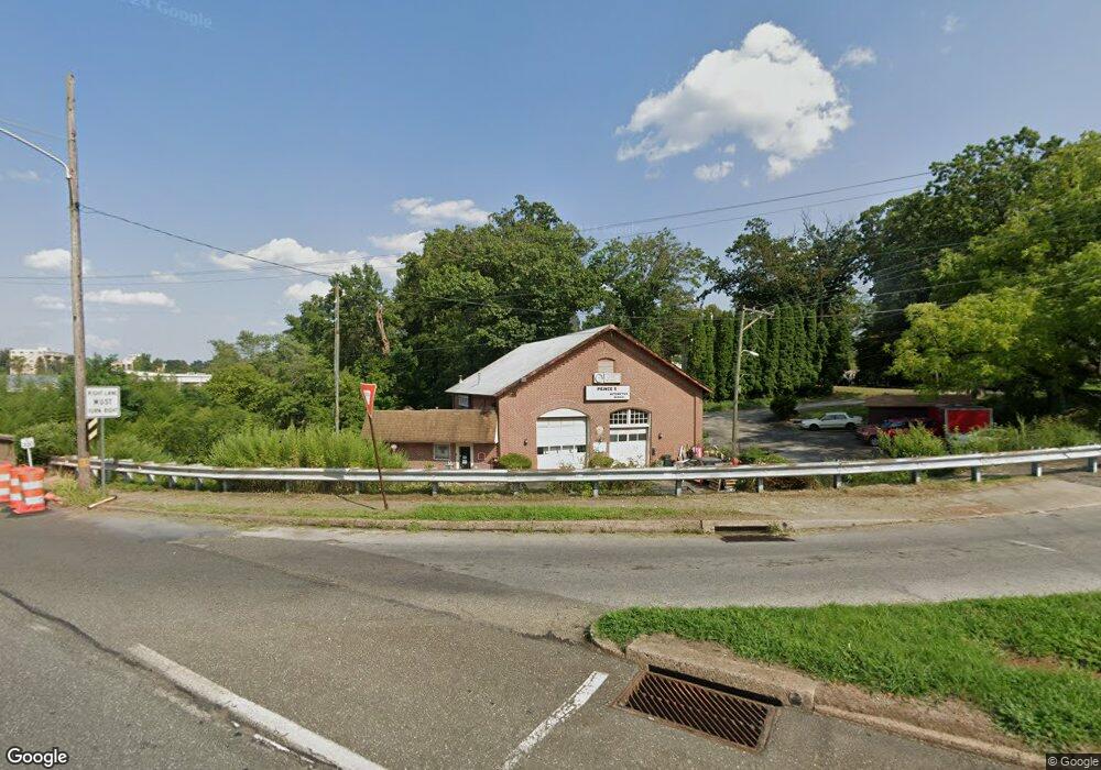
511 N State Rd Springfield, PA 19064
Estimated Value: $277,000
About This Home
This home is located at 511 N State Rd, Springfield, PA 19064 and is currently priced at $277,000, approximately $51 per square foot. 511 N State Rd is a home located in Delaware County with nearby schools including Springfield High School, Holy Cross School, and St. Andrew School.
Ownership History
We collect this data history from publicly available records. To have your information removed, we recommend requesting removal directly through your county’s website.
Purchase Details
Purchase Details
Home Values in the Area
Average Home Value in this Area
Purchase History
We collect this data history from publicly available records. To have your information removed, we recommend requesting removal directly through your county’s website.
| Date | Buyer | Sale Price | Title Company |
|---|---|---|---|
| -- | None Available | ||
| -- | -- |
Tax History
We collect this data history from publicly available records. To have your information removed, we recommend requesting removal directly through your county’s website.
| Year | Tax Paid | Tax Assessment Tax Assessment Total Assessment is a certain percentage of the fair market value that is determined by local assessors to be the total taxable value of land and additions on the property. | Land | Improvement |
|---|---|---|---|---|
| 2026 | $9,671 | $322,670 | $168,050 | $154,620 |
| 2025 | $9,671 | $322,670 | $168,050 | $154,620 |
| 2024 | $9,069 | $322,670 | $168,050 | $154,620 |
| 2023 | $8,733 | $322,670 | $168,050 | $154,620 |
| 2022 | $8,544 | $322,670 | $168,050 | $154,620 |
| 2021 | $13,232 | $322,670 | $168,050 | $154,620 |
| 2020 | $8,611 | $190,030 | $92,520 | $97,510 |
| 2019 | $8,409 | $190,030 | $92,520 | $97,510 |
| 2018 | $8,288 | $190,030 | $0 | $0 |
| 2017 | $8,097 | $190,030 | $0 | $0 |
| 2016 | $1,064 | $190,030 | $0 | $0 |
| 2015 | $1,064 | $190,030 | $0 | $0 |
| 2014 | $1,064 | $190,030 | $0 | $0 |
Map
- 401 N Rolling Rd
- 112 Sherman Rd
- 356 N State Rd
- 293 N Norwinden Dr
- 4928 State Rd
- 310 Butler Rd
- 801 Terwood Rd
- 5227 Reservation Rd
- 4913 Woodland Ave
- 292 Valley View Rd
- 5118 Bond Ave
- 4818 Woodland Ave
- 5117 Pontiac Rd
- 731 Wildell Rd
- 324 Valley View Rd
- 453 Claremont Rd
- 41 Wayne Ave
- 38 Wayne Ave
- 29 School Ln
- 349 Hawarden Rd
- 429 N Rolling Rd
- 423 N Rolling Rd
- 430 N Rolling Rd
- 417 N Rolling Rd
- 436 N Rolling Rd
- 501 W Rolling Rd
- 411 N Rolling Rd
- 511 W Rolling Rd
- 477 N State Rd
- 107 Broadview Rd
- 115 Broadview Rd
- 400 N Rolling Rd
- 501 Rutherford Dr
- 503 Rutherford Dr
- 465 N State Rd
- 121 Broadview Rd
- 527 W Rolling Rd
- 507 Rutherford Dr
- 369 N Rolling Rd
- 483 Southcroft Rd
Ask me questions while you tour the home.