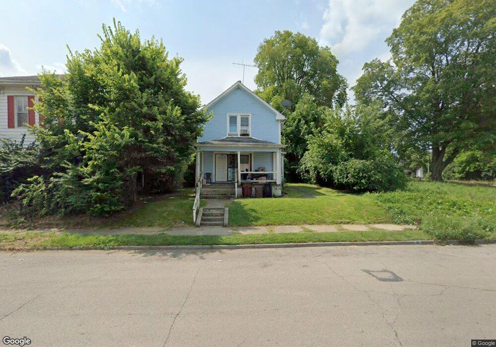
511 Sherman Ave Springfield, OH 45503
Estimated Value: $80,211 - $139,000
About This Home
This home is located at 511 Sherman Ave, Springfield, OH 45503 and is currently estimated at $102,053, approximately $75 per square foot. 511 Sherman Ave is a home located in Clark County with nearby schools including Lagonda Elementary School, Roosevelt Middle School, and Springfield High School.
Ownership History
We collect this data history from publicly available records. To have your information removed, we recommend requesting removal directly through your county’s website.
Purchase Details
Home Financials for this Owner
Home Financials are based on the most recent Mortgage that was taken out on this home.Home Values in the Area
Average Home Value in this Area
Purchase History
We collect this data history from publicly available records. To have your information removed, we recommend requesting removal directly through your county’s website.
| Date | Buyer | Sale Price | Title Company |
|---|---|---|---|
| $20,000 | -- |
Mortgage History
We collect this data history from publicly available records. To have your information removed, we recommend requesting removal directly through your county’s website.
| Date | Status | Borrower | Loan Amount |
|---|---|---|---|
| Closed | $20,000 |
Tax History
We collect this data history from publicly available records. To have your information removed, we recommend requesting removal directly through your county’s website.
| Year | Tax Paid | Tax Assessment Tax Assessment Total Assessment is a certain percentage of the fair market value that is determined by local assessors to be the total taxable value of land and additions on the property. | Land | Improvement |
|---|---|---|---|---|
| 2025 | $1,293 | $20,860 | $2,650 | $18,210 |
| 2024 | $834 | $16,880 | $2,550 | $14,330 |
| 2023 | $834 | $16,880 | $2,550 | $14,330 |
| 2022 | $854 | $16,880 | $2,550 | $14,330 |
| 2021 | $687 | $12,510 | $1,890 | $10,620 |
| 2020 | $689 | $12,510 | $1,890 | $10,620 |
| 2019 | $691 | $12,510 | $1,890 | $10,620 |
| 2018 | $647 | $11,240 | $1,890 | $9,350 |
| 2017 | $646 | $11,235 | $1,890 | $9,345 |
| 2016 | $647 | $11,235 | $1,890 | $9,345 |
| 2015 | $638 | $10,871 | $1,890 | $8,981 |
| 2014 | $635 | $10,871 | $1,890 | $8,981 |
| 2013 | $628 | $10,871 | $1,890 | $8,981 |
Map
- 412 E Madison Ave
- 368 E Madison Ave
- 310 E Madison Ave
- 726 E Madison Ave
- 705 E Cassilly St
- 114-116 E Ward St
- 802 Warder St
- 836-838 Rodgers Dr
- 852 Rodgers Dr
- 126 E Cassilly St
- 705 E Northern Ave
- 0 Mitchell Blvd
- 227 E Northern Ave
- 306-308 E Northern Ave
- 925 Sherman Ave
- 117- 119 E Cecil St
- 979 Lagonda Ave
- 21 Lagonda Ave
- 1037 Middle St
- 240 E McCreight Ave
- 515 Sherman Ave
- 507 Sherman Ave
- 570 Elm St
- 519 Sherman Ave
- 566 Elm St Unit 568
- 527 Sherman Ave
- 459 Sherman Ave
- 516 Sherman Ave
- 508 Chestnut Ave
- 520 Chestnut Ave
- 567 Elm St
- 506 Chestnut Ave
- 451 Sherman Ave Unit 453
- 524 Chestnut Ave
- 502 Chestnut Ave
- 510 Sherman Ave
- 506 Sherman Ave
- 520 Sherman Ave
- 526 Sherman Ave
- 421 Sherman Ave
Ask me questions while you tour the home.