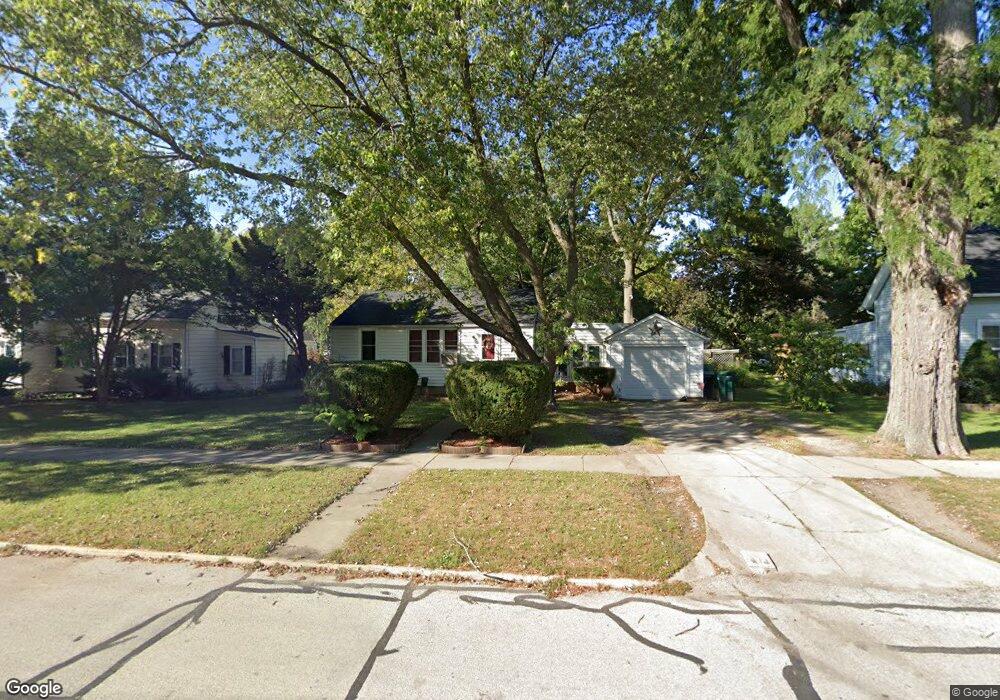
511 Spring St Batavia, IL 60510
Northeast Batavia NeighborhoodEstimated Value: $223,857 - $315,000
2
Beds
--
Bath
672
Sq Ft
$406/Sq Ft
Est. Value
About This Home
This home is located at 511 Spring St, Batavia, IL 60510 and is currently estimated at $272,964, approximately $406 per square foot. 511 Spring St is a home located in Kane County with nearby schools including Louise White Elementary School, Sam Rotolo Middle School, and Batavia Sr High School.
Ownership History
Date
Name
Owned For
Owner Type
Purchase Details
Closed on
Jan 15, 2012
Sold by
Holubow Kellie and Kussro Herman W
Bought by
Kussro Herman W and Kussro Kathryn E
Current Estimated Value
Purchase Details
Closed on
Dec 16, 2011
Sold by
Cassidy Gwendolyn and Hinterlong Shelbie
Bought by
Kussro Herman W and Kussro Kathryn E
Purchase Details
Closed on
Oct 7, 1996
Sold by
City Of Aurora
Bought by
Williams Steven and Williams Marcella
Purchase Details
Closed on
Nov 28, 1994
Sold by
Firstar Bank West Na
Bought by
City Of Aurora
Create a Home Valuation Report for This Property
The Home Valuation Report is an in-depth analysis detailing your home's value as well as a comparison with similar homes in the area
Home Values in the Area
Average Home Value in this Area
Purchase History
| Date | Buyer | Sale Price | Title Company |
|---|---|---|---|
| Kussro Herman W | -- | None Available | |
| Kussro Herman W | $80,000 | None Available | |
| Williams Steven | -- | -- | |
| City Of Aurora | -- | Chicago Title Insurance Co |
Source: Public Records
Tax History
| Year | Tax Paid | Tax Assessment Tax Assessment Total Assessment is a certain percentage of the fair market value that is determined by local assessors to be the total taxable value of land and additions on the property. | Land | Improvement |
|---|---|---|---|---|
| 2024 | $4,352 | $55,043 | $27,051 | $27,992 |
| 2023 | $4,287 | $49,958 | $24,552 | $25,406 |
| 2022 | $3,539 | $40,534 | $22,946 | $17,588 |
| 2021 | $3,408 | $38,443 | $21,762 | $16,681 |
| 2020 | $3,328 | $37,704 | $21,344 | $16,360 |
| 2019 | $3,280 | $36,369 | $20,588 | $15,781 |
| 2018 | $3,156 | $34,984 | $19,804 | $15,180 |
| 2017 | $3,086 | $33,830 | $19,151 | $14,679 |
| 2016 | $3,026 | $32,844 | $18,593 | $14,251 |
| 2015 | -- | $32,097 | $18,170 | $13,927 |
| 2014 | -- | $31,087 | $17,598 | $13,489 |
| 2013 | -- | $34,795 | $21,569 | $13,226 |
Source: Public Records
Map
Nearby Homes
- 622 Spring St
- 637 E Wilson St
- Lot 1 Center St
- 414 Cleveland Ave
- 304 S Prairie St
- 822 Hamlet St
- 359 Johnson Woods Dr
- 201 Violet Ln
- 694 Hart Rd
- 330 First St
- 701 Viking Dr
- 570 Violet Ln
- 418 Houston St
- 404 S Batavia Ave
- Lot 4 Manchester Ave
- 1136 Pine Ct
- 860 S River St
- 469 S Jefferson St Unit 469
- 1676 Carlstedt Dr
- 107 N Mallory Ave
Your Personal Tour Guide
Ask me questions while you tour the home.