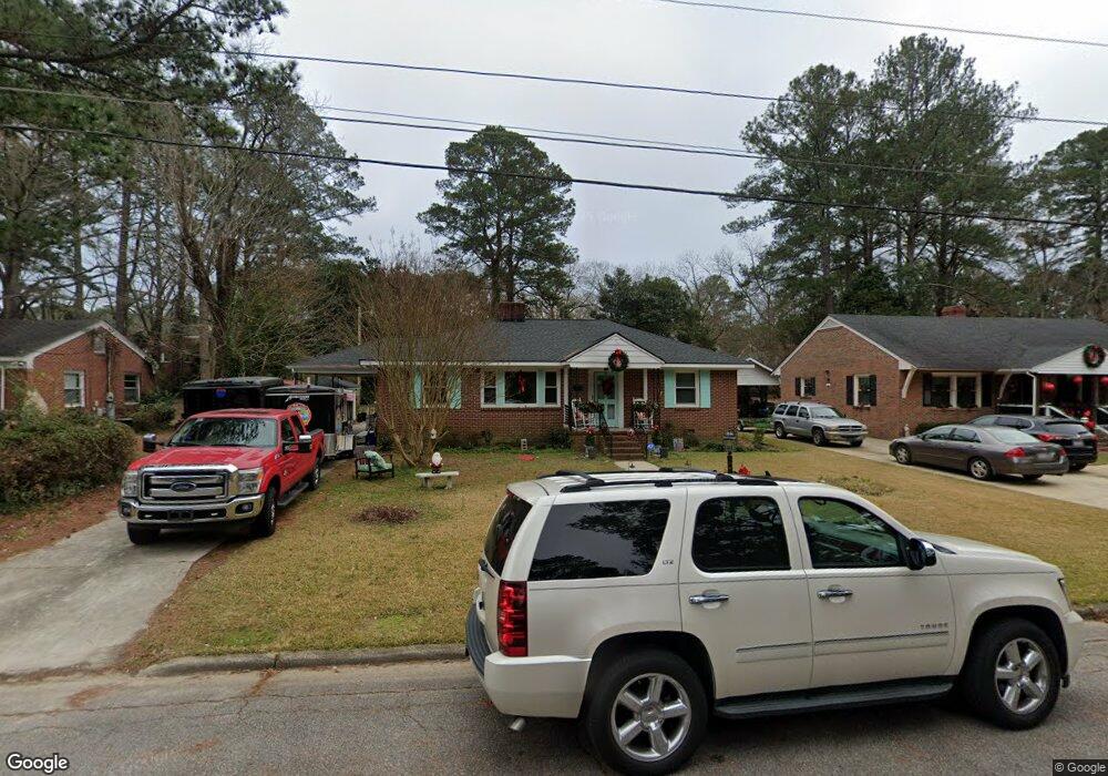
511 Westover Ave W Wilson, NC 27893
Estimated Value: $153,000 - $192,000
2
Beds
2
Baths
1,540
Sq Ft
$115/Sq Ft
Est. Value
About This Home
This home is located at 511 Westover Ave W, Wilson, NC 27893 and is currently estimated at $177,556, approximately $115 per square foot. 511 Westover Ave W is a home located in Wilson County with nearby schools including Margaret Hearne Elementary School, James Hunt High School, and Forest Hills Middle School.
Ownership History
Date
Name
Owned For
Owner Type
Purchase Details
Closed on
Oct 27, 2021
Sold by
Baldwin Rebecca
Bought by
Truitt Richard D
Current Estimated Value
Purchase Details
Closed on
May 11, 2020
Sold by
Jones Mattie B
Bought by
Truitt Richard D and Baldwin Rebecca
Home Financials for this Owner
Home Financials are based on the most recent Mortgage that was taken out on this home.
Original Mortgage
$75,000
Interest Rate
3.3%
Mortgage Type
New Conventional
Create a Home Valuation Report for This Property
The Home Valuation Report is an in-depth analysis detailing your home's value as well as a comparison with similar homes in the area
Home Values in the Area
Average Home Value in this Area
Purchase History
| Date | Buyer | Sale Price | Title Company |
|---|---|---|---|
| Truitt Richard D | -- | None Available | |
| Truitt Richard D | $85,000 | None Available |
Source: Public Records
Mortgage History
| Date | Status | Borrower | Loan Amount |
|---|---|---|---|
| Previous Owner | Truitt Richard D | $75,000 |
Source: Public Records
Tax History
| Year | Tax Paid | Tax Assessment Tax Assessment Total Assessment is a certain percentage of the fair market value that is determined by local assessors to be the total taxable value of land and additions on the property. | Land | Improvement |
|---|---|---|---|---|
| 2025 | $1,518 | $135,499 | $31,500 | $103,999 |
| 2024 | $1,518 | $135,499 | $31,500 | $103,999 |
| 2023 | $1,034 | $79,237 | $10,800 | $68,437 |
| 2022 | $1,034 | $79,237 | $10,800 | $68,437 |
| 2021 | $1,034 | $79,237 | $10,800 | $68,437 |
| 2020 | $1,034 | $79,237 | $10,800 | $68,437 |
| 2019 | $517 | $79,237 | $10,800 | $68,437 |
| 2018 | $517 | $79,237 | $10,800 | $68,437 |
| 2017 | $509 | $79,237 | $10,800 | $68,437 |
| 2016 | $519 | $79,237 | $10,800 | $68,437 |
| 2014 | $614 | $98,632 | $10,800 | $87,832 |
Source: Public Records
Map
Nearby Homes
- 1009 Walnut St W
- 610 Trinity Dr W
- 713 Trinity Dr W Unit 63&66
- 708 Raleigh Road Pkwy W
- 700 Kenan St W
- 207 Bruton St W
- 110 Rountree St W
- 322 Jefferson St W
- 1103 Robert Rd W
- 5024 Anthony St W
- 209 Daniel St W
- 131 Ripley Rd NW
- 1007 Nash St NW
- 900 Nash St N
- 1302 Westwood Ave W
- 1102 Azalea Ln NW
- 1124 Azalea Ln NW
- 704 Vance St E
- 1403 Westwood Ave W
- 219 Broad St W
- 513 Westover Ave W
- 507 Westover Ave W
- 508 Deans St W
- 515 Westover Ave W
- 512 Deans St W
- 505 Westover Ave W
- 504 Westover Ave W
- 504 Deans St W
- 502 Westover Ave W
- 514 Deans St W
- 506 Westover Ave W
- 517 Westover Ave W
- 1001 Walnut St W
- 516 Deans St W
- 1101 Walnut St W
- 508 Westover Ave W
- 507 Deans St W
- 505 Deans St W
- 520 Deans St W
- 509 Deans St W Unit A
Your Personal Tour Guide
Ask me questions while you tour the home.