512 Clark Rd Salisbury, NC 28146
Estimated Value: $404,249 - $750,000
Studio
2
Baths
1,560
Sq Ft
$329/Sq Ft
Est. Value
About This Home
This home is located at 512 Clark Rd, Salisbury, NC 28146 and is currently estimated at $512,562, approximately $328 per square foot. 512 Clark Rd is a home located in Rowan County with nearby schools including Morgan Elementary School, Charles C Erwin Middle School, and East Rowan High School.
Ownership History
Date
Name
Owned For
Owner Type
Purchase Details
Closed on
Mar 19, 2025
Sold by
Calvin Arey Tim and Shrader Carolyn
Bought by
Arey Tim Calvin and Shrader Arey Carolyn
Current Estimated Value
Purchase Details
Closed on
Dec 29, 2006
Sold by
Mcdaniel Wilburn
Bought by
Arey Carolyn Shrader and Arey Timothy
Purchase Details
Closed on
Oct 1, 1984
Bought by
Arey Timothy Calvin and Arey Wf
Create a Home Valuation Report for This Property
The Home Valuation Report is an in-depth analysis detailing your home's value as well as a comparison with similar homes in the area
Purchase History
| Date | Buyer | Sale Price | Title Company |
|---|---|---|---|
| Arey Tim Calvin | -- | None Listed On Document | |
| Arey Carolyn Shrader | -- | None Available | |
| Arey Timothy Calvin | $15,000 | -- |
Source: Public Records
Tax History
| Year | Tax Paid | Tax Assessment Tax Assessment Total Assessment is a certain percentage of the fair market value that is determined by local assessors to be the total taxable value of land and additions on the property. | Land | Improvement |
|---|---|---|---|---|
| 2025 | $2,069 | $313,556 | $120,050 | $193,506 |
| 2024 | $2,069 | $313,556 | $120,050 | $193,506 |
| 2023 | $2,069 | $313,556 | $120,050 | $193,506 |
| 2022 | $1,527 | $207,071 | $94,540 | $112,531 |
| 2021 | $1,473 | $207,071 | $94,540 | $112,531 |
| 2020 | $1,473 | $207,071 | $94,540 | $112,531 |
| 2019 | $1,473 | $207,071 | $94,540 | $112,531 |
| 2018 | $1,381 | $195,738 | $94,540 | $101,198 |
| 2017 | $1,381 | $195,738 | $94,540 | $101,198 |
| 2016 | $1,381 | $195,738 | $94,540 | $101,198 |
| 2015 | $1,402 | $195,738 | $94,540 | $101,198 |
| 2014 | $1,384 | $196,899 | $94,540 | $102,359 |
Source: Public Records
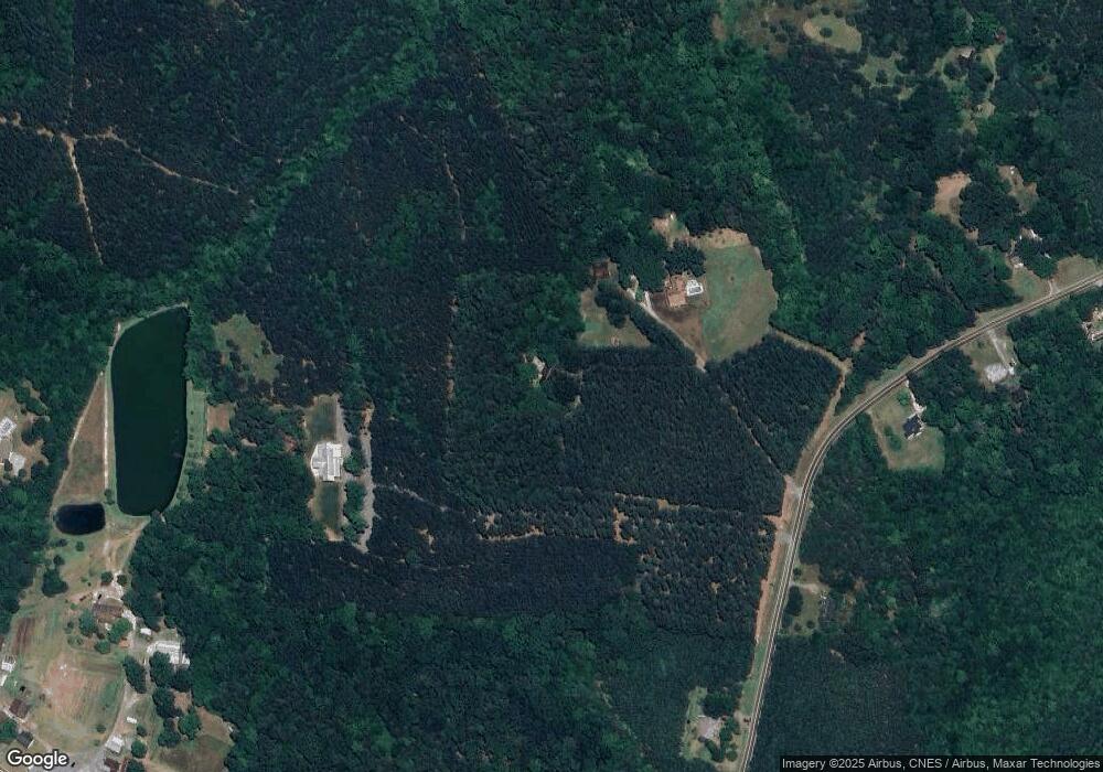
Map
Nearby Homes
- 7645 Bringle Ferry Rd
- 8494 Bringle Ferry Rd
- 8725 Bringle Ferry Rd
- 0 Fox Hollow Ln
- 00 File Rd
- 680 Fox Hollow Ln
- 360 Tamarac Shores Dr
- 9145 Bringle Ferry Rd
- 420 Sportsman Dr
- 0 Scout Rd
- 0 Hedrick Lambe Dr Unit CAR4343005
- 325 Mainsail Rd
- 355 Ranchwood Dr
- 315 Mainsail Rd
- 305 Mainsail Rd
- 220 Yachtsman Dr
- 355 N Fisherman Ln
- 0 Playground Ln Unit 1170706
- 0 Playground Ln Unit L25-26 CAR4222360
- 0 Playground Ln Unit 21 CAR4285915
- 514 Clark Rd
- 7940 Bringle Ferry Rd
- 575 Clark Rd
- 310 Clark Rd
- 625 Clark Rd
- 630 Clark Rd
- 0 Starnes Rd
- 7880 Bringle Ferry Rd
- 8100 Bringle Ferry Rd
- 8000 Bringle Ferry Rd
- 8150 Bringle Ferry Rd
- 150 Clark Rd
- 215 Clark Rd
- 7930 Bringle Ferry Rd
- 8170 Bringle Ferry Rd
- 8180 Bringle Ferry Rd
- 8175 Bringle Ferry Rd
- 7915 Bringle Ferry Rd
- 7885 Bringle Ferry Rd
- 175 Clark Rd
Your Personal Tour Guide
Ask me questions while you tour the home.