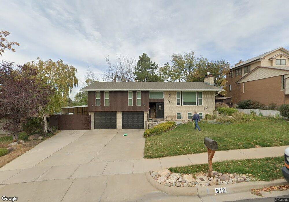
512 Heritage Dr Bountiful, UT 84010
Bountiful AreaEstimated Value: $643,920 - $695,000
About This Home
This home is located at 512 Heritage Dr, Bountiful, UT 84010 and is currently estimated at $667,230, approximately $217 per square foot. 512 Heritage Dr is a home located in Davis County with nearby schools including Adelaide School, South Davis Junior High School, and Woods Cross High School.
Ownership History
We collect this data history from publicly available records. To have your information removed, we recommend requesting removal directly through your county’s website.
Purchase Details
Purchase Details
Purchase Details
Home Financials for this Owner
Home Financials are based on the most recent Mortgage that was taken out on this home.Purchase Details
Purchase History
We collect this data history from publicly available records. To have your information removed, we recommend requesting removal directly through your county’s website.
| Date | Buyer | Sale Price | Title Company |
|---|---|---|---|
| -- | Steed Title | ||
| -- | Steed Title | ||
| -- | Backman Title Service | ||
| -- | -- |
Mortgage History
We collect this data history from publicly available records. To have your information removed, we recommend requesting removal directly through your county’s website.
| Date | Status | Borrower | Loan Amount |
|---|---|---|---|
| Previous Owner | $45,000 | ||
| Previous Owner | $482,000 | ||
| Previous Owner | $433,000 | ||
| Previous Owner | $20,000 |
Tax History
We collect this data history from publicly available records. To have your information removed, we recommend requesting removal directly through your county’s website.
| Year | Tax Paid | Tax Assessment Tax Assessment Total Assessment is a certain percentage of the fair market value that is determined by local assessors to be the total taxable value of land and additions on the property. | Land | Improvement |
|---|---|---|---|---|
| 2025 | $3,387 | $333,300 | $137,354 | $195,946 |
| 2024 | $2,725 | $322,850 | $124,267 | $198,583 |
| 2023 | $3,182 | $575,000 | $227,222 | $347,778 |
| 2022 | $3,326 | $329,450 | $123,700 | $205,750 |
| 2021 | $3,033 | $460,000 | $161,950 | $298,050 |
| 2020 | $2,384 | $365,000 | $137,715 | $227,285 |
| 2019 | $2,555 | $442,000 | $141,254 | $300,746 |
| 2018 | $2,741 | $405,000 | $138,368 | $266,632 |
| 2016 | $2,403 | $192,060 | $45,775 | $146,285 |
| 2015 | $2,337 | $176,605 | $45,775 | $130,830 |
| 2014 | $2,176 | $168,235 | $45,775 | $122,460 |
| 2013 | -- | $140,002 | $41,774 | $98,228 |
Map
- 3268 Plum Tree Ln Unit 13
- 620 N Orchard Dr Unit 31
- 620 N Orchard Dr Unit 45
- 406 W 3300 S
- 943 Lillywood Ln
- 3133 Applewood Dr
- 3341 S 675 W
- 3291 S 300 W
- 246 Oak Dr
- 581 Compass Cir
- 587 Eastpointe Cir
- 552 W 2900 S
- 544 W 2900 S
- 3558 S 50 W
- 370 Merlin St Unit 308
- 804 W 4050 S
- 594 Sider Dr
- 683 Merlin St Unit 4630
- 787 W 4050 S
- 3541 S 50 W
Ask me questions while you tour the home.