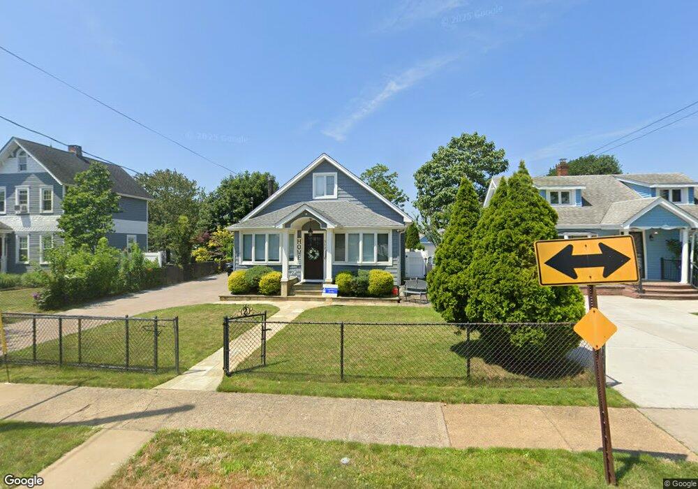
512 S Bayview Ave Freeport, NY 11520
Estimated Value: $551,677 - $607,000
Studio
1
Bath
1,610
Sq Ft
$360/Sq Ft
Est. Value
About This Home
This home is located at 512 S Bayview Ave, Freeport, NY 11520 and is currently estimated at $579,339, approximately $359 per square foot. 512 S Bayview Ave is a home located in Nassau County with nearby schools including Columbus Avenue School, Caroline G. Atkinson Intermediate School, and John W Dodd Middle School.
Ownership History
Date
Name
Owned For
Owner Type
Purchase Details
Closed on
Mar 19, 2002
Current Estimated Value
Purchase Details
Closed on
Oct 22, 1999
Sold by
Owens Enid A
Bought by
Pascal Dru J
Home Financials for this Owner
Home Financials are based on the most recent Mortgage that was taken out on this home.
Original Mortgage
$138,850
Interest Rate
7.73%
Mortgage Type
Purchase Money Mortgage
Purchase Details
Closed on
Mar 3, 1998
Sold by
Vogt Walter Henry
Bought by
Owens Enid
Create a Home Valuation Report for This Property
The Home Valuation Report is an in-depth analysis detailing your home's value as well as a comparison with similar homes in the area
Home Values in the Area
Average Home Value in this Area
Purchase History
We collect this data history from publicly available records. To have your information removed, we recommend requesting removal directly through your county’s website.
| Date | Buyer | Sale Price | Title Company |
|---|---|---|---|
| -- | $220,000 | -- | |
| Pascal Dru J | $140,000 | Stewart Title Insurance Co | |
| Owens Enid | $123,000 | -- |
Source: Public Records
Mortgage History
We collect this data history from publicly available records. To have your information removed, we recommend requesting removal directly through your county’s website.
| Date | Status | Borrower | Loan Amount |
|---|---|---|---|
| Previous Owner | Pascal Dru J | $138,850 |
Source: Public Records
Tax History
| Year | Tax Paid | Tax Assessment Tax Assessment Total Assessment is a certain percentage of the fair market value that is determined by local assessors to be the total taxable value of land and additions on the property. | Land | Improvement |
|---|---|---|---|---|
| 2025 | $6,607 | $357 | $192 | $165 |
| 2024 | $800 | $357 | $192 | $165 |
Source: Public Records
Map
Nearby Homes
- 153 Westend Ave
- 463 S Bayview Ave
- 13 Noon Place
- 210 Westend Ave Unit 8A
- 216 Westend Ave Unit 5B
- 77 Hampton Place
- 8 Florence Ave Unit 16C
- 31 Anchor St Unit Y
- 160 Saint Marks Ave
- 572 S Bayview Ave
- 12 Florence Ave Unit 29A
- 587 S Bayview Ave
- 14 Florence Ave Unit 25B
- 47 Anchor St Unit Y
- 60 Meister Blvd
- 116 Westend Ave Unit 8
- 525 Ray St
- 181 Branch Ave
- 173 Cedar St
- 62 Westend Ave
- 15 Cary Place
- 11 Cary Place
- 67 Cary Place
- 71 Cary Place
- 18 Hampton Place
- 504 S Bayview Ave
- 494 S Bayview Ave
- 26 Hampton Place
- 75 Cary Place
- 18 Cary Place
- 14 Cary Place
- 58 Cary Place
- 518 S Bayview Ave
- 22 Cary Place
- 52 Cary Place
- 32 Hampton Place
- 32 Hampton Place
- 79 Cary Place
- 30 Cary Place
- 490 S Bayview Ave
Your Personal Tour Guide
Ask me questions while you tour the home.