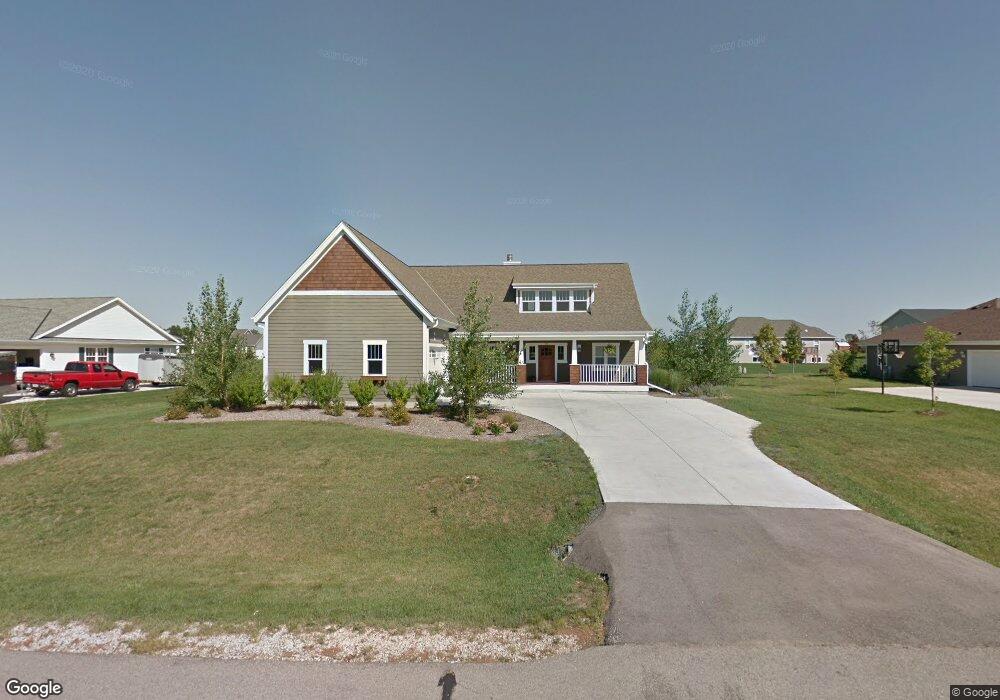
512 S Buth Rd Dousman, WI 53118
Estimated Value: $542,000 - $642,000
3
Beds
3
Baths
2,310
Sq Ft
$256/Sq Ft
Est. Value
About This Home
This home is located at 512 S Buth Rd, Dousman, WI 53118 and is currently estimated at $590,874, approximately $255 per square foot. 512 S Buth Rd is a home located in Waukesha County with nearby schools including Dousman Elementary School, Kettle Moraine Middle School, and Kettle Moraine High School.
Ownership History
Date
Name
Owned For
Owner Type
Purchase Details
Closed on
Jan 26, 2010
Sold by
Krawiec Robert
Bought by
Anderson Donald W
Current Estimated Value
Home Financials for this Owner
Home Financials are based on the most recent Mortgage that was taken out on this home.
Original Mortgage
$224,000
Outstanding Balance
$148,695
Interest Rate
5.09%
Mortgage Type
New Conventional
Estimated Equity
$442,179
Purchase Details
Closed on
Aug 6, 2008
Sold by
First Banking Center
Bought by
Krawiec Robert
Purchase Details
Closed on
Jun 23, 2006
Sold by
Utica Lake Llc
Bought by
Swbh Llc
Home Financials for this Owner
Home Financials are based on the most recent Mortgage that was taken out on this home.
Original Mortgage
$80,000
Interest Rate
6.68%
Mortgage Type
Purchase Money Mortgage
Create a Home Valuation Report for This Property
The Home Valuation Report is an in-depth analysis detailing your home's value as well as a comparison with similar homes in the area
Home Values in the Area
Average Home Value in this Area
Purchase History
We collect this data history from publicly available records. To have your information removed, we recommend requesting removal directly through your county’s website.
| Date | Buyer | Sale Price | Title Company |
|---|---|---|---|
| Anderson Donald W | $280,000 | None Available | |
| Krawiec Robert | $65,000 | None Available | |
| Swbh Llc | $82,900 | None Available |
Source: Public Records
Mortgage History
We collect this data history from publicly available records. To have your information removed, we recommend requesting removal directly through your county’s website.
| Date | Status | Borrower | Loan Amount |
|---|---|---|---|
| Open | Anderson Donald W | $224,000 | |
| Previous Owner | Swbh Llc | $80,000 |
Source: Public Records
Tax History
| Year | Tax Paid | Tax Assessment Tax Assessment Total Assessment is a certain percentage of the fair market value that is determined by local assessors to be the total taxable value of land and additions on the property. | Land | Improvement |
|---|---|---|---|---|
| 2024 | $6,591 | $494,000 | $135,000 | $359,000 |
| 2023 | $6,170 | $431,000 | $117,000 | $314,000 |
| 2022 | $6,282 | $402,000 | $99,000 | $303,000 |
| 2021 | $5,806 | $402,000 | $99,000 | $303,000 |
| 2020 | $6,089 | $402,000 | $99,000 | $303,000 |
| 2019 | $5,034 | $280,000 | $55,000 | $225,000 |
| 2018 | $4,873 | $280,000 | $55,000 | $225,000 |
| 2017 | $4,846 | $280,000 | $55,000 | $225,000 |
| 2016 | $4,717 | $280,000 | $55,000 | $225,000 |
| 2015 | $4,791 | $280,000 | $55,000 | $225,000 |
| 2014 | $4,603 | $280,000 | $55,000 | $225,000 |
| 2013 | $4,603 | $280,000 | $55,000 | $225,000 |
Source: Public Records
Map
Nearby Homes
- 143 Twin Creeks Court Dr
- 584 Twin Creeks Dr
- 590 Twin Creeks Dr
- 137 Twin Creeks Ct Dr
- 149 Twin Creeks Ct
- 148 Twin Creeks Ct
- 287 Wilson Ave
- 412 E Red Pine Cir
- 120 N Main St
- 251 S Main St
- 234 Wolf Dr Unit 6B
- 228 Wolf Dr Unit 3
- Lt4 Wolf Dr
- 36640 Prairie Dr
- 638 Red Oak Dr
- 407 Ingleside Ct
- Lt3 Whitaker Ln
- Lt4 Whitaker Ln
- Lt2 Whitaker Ln
- Lt1 Whitaker Ln
Your Personal Tour Guide
Ask me questions while you tour the home.