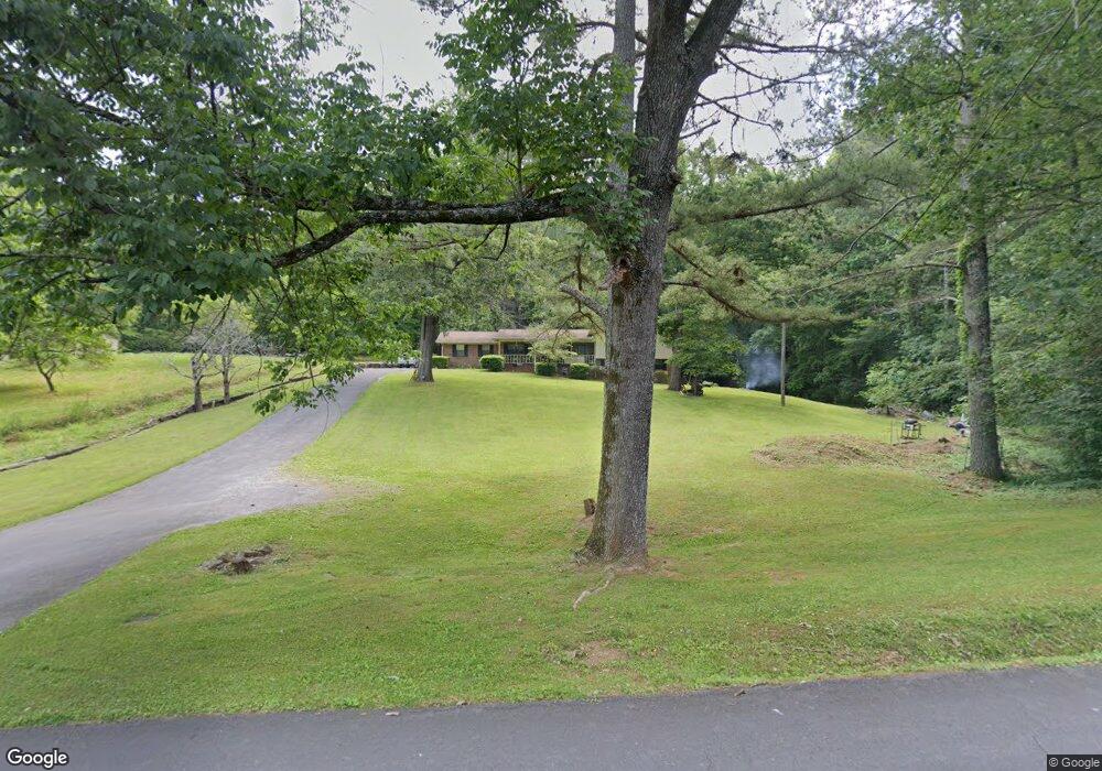
513 Burnt Mill Rd Flintstone, GA 30725
Flintstone NeighborhoodEstimated Value: $262,000 - $293,000
About This Home
This home is located at 513 Burnt Mill Rd, Flintstone, GA 30725 and is currently estimated at $273,906, approximately $152 per square foot. 513 Burnt Mill Rd is a home located in Walker County with nearby schools including Stone Creek Elementary School, Rossville Middle School, and Ridgeland High School.
Ownership History
We collect this data history from publicly available records. To have your information removed, we recommend requesting removal directly through your county’s website.
Purchase Details
Purchase Details
Purchase Details
Home Values in the Area
Average Home Value in this Area
Purchase History
We collect this data history from publicly available records. To have your information removed, we recommend requesting removal directly through your county’s website.
| Date | Buyer | Sale Price | Title Company |
|---|---|---|---|
| -- | -- | ||
| -- | -- | ||
| -- | -- | ||
| -- | -- |
Tax History
We collect this data history from publicly available records. To have your information removed, we recommend requesting removal directly through your county’s website.
| Year | Tax Paid | Tax Assessment Tax Assessment Total Assessment is a certain percentage of the fair market value that is determined by local assessors to be the total taxable value of land and additions on the property. | Land | Improvement |
|---|---|---|---|---|
| 2025 | $251 | $96,585 | $22,682 | $73,903 |
| 2024 | $251 | $87,849 | $21,599 | $66,250 |
| 2023 | $1,907 | $79,958 | $17,142 | $62,816 |
| 2022 | $180 | $63,232 | $8,621 | $54,611 |
| 2021 | $180 | $53,523 | $8,621 | $44,902 |
| 2020 | $180 | $48,995 | $8,621 | $40,374 |
| 2019 | $1,459 | $48,995 | $8,621 | $40,374 |
| 2018 | $1,296 | $48,995 | $8,621 | $40,374 |
| 2017 | $1,594 | $48,995 | $8,621 | $40,374 |
| 2016 | $1,280 | $48,995 | $8,621 | $40,374 |
| 2015 | $1,386 | $50,208 | $10,108 | $40,100 |
| 2014 | $1,281 | $50,208 | $10,108 | $40,100 |
| 2013 | -- | $50,207 | $10,108 | $40,099 |
Map
- 0 Lafayette Dr Unit 1536943
- 12 Burnt Mill Cir
- 0 Burnt Mill Rd Unit 1536942
- 5720 Saint Elmo Ave
- 1317 Thomas Ave
- 1297 Thomas Ave
- 1317 Thomas Ave Unit 8
- 5721 Alabama Ave
- 1360 Thomas Ave
- 1366 Thomas Ave
- 5414 Dorsey St
- 5412 Dorsey St
- 5685 Lee Ave
- 5515 Post Ave
- 5505 Saint Elmo Ave
- 5505 Alabama Ave
- 5417 Saint Elmo Ave
- 5411 Saint Elmo Ave
- 5412 Alabama Ave
- 5409 Shauff Place
- 491 Burnt Mill Rd
- 561 Burnt Mill Rd
- 144 Burnt Mill Cir
- 0 Lafayette Dr Unit RTC3244298
- 0 Lafayette Dr Unit 1530024
- 0 Lafayette Dr Unit RTC2811554
- 0 Lafayette Dr Unit 1391033
- 0 Lafayette Dr Unit 1262796
- 0 Lafayette Dr Unit 1504245
- 0 Lafayette Dr Unit RTC2668661
- 1124 Lafayette Dr
- 162 Burnt Mill Cir
- 1140 Lafayette Dr
- 1122 Lafayette Dr
- 112 Burnt Mill Cir
- 112 Burnt Mill Cir
- 625 Burnt Mill Rd
- 625 Burnt Mill Rd
- 625 Burnt Mill Rd
- 363 Burnt Mill Rd
Ask me questions while you tour the home.