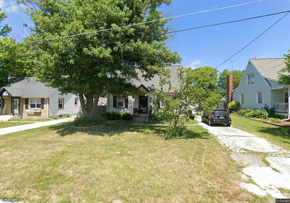
513 W Sunset Dr Eureka, IL 61530
Estimated Value: $118,000 - $184,000
3
Beds
2
Baths
1,485
Sq Ft
$103/Sq Ft
Est. Value
About This Home
This home is located at 513 W Sunset Dr, Eureka, IL 61530 and is currently estimated at $153,516, approximately $103 per square foot. 513 W Sunset Dr is a home located in Woodford County with nearby schools including Eureka High School.
Ownership History
Date
Name
Owned For
Owner Type
Purchase Details
Closed on
May 22, 2025
Sold by
Lori A Lowery Trust and Lowery Lori A
Bought by
Wiles Derrick
Current Estimated Value
Home Financials for this Owner
Home Financials are based on the most recent Mortgage that was taken out on this home.
Original Mortgage
$10,000
Outstanding Balance
$7,071
Interest Rate
8.2%
Mortgage Type
New Conventional
Estimated Equity
$146,445
Create a Home Valuation Report for This Property
The Home Valuation Report is an in-depth analysis detailing your home's value as well as a comparison with similar homes in the area
Home Values in the Area
Average Home Value in this Area
Purchase History
| Date | Buyer | Sale Price | Title Company |
|---|---|---|---|
| Wiles Derrick | $115,000 | Woodford County Title |
Source: Public Records
Mortgage History
| Date | Status | Borrower | Loan Amount |
|---|---|---|---|
| Open | Wiles Derrick | $10,000 | |
| Open | Wiles Derrick | $107,750 |
Source: Public Records
Tax History
| Year | Tax Paid | Tax Assessment Tax Assessment Total Assessment is a certain percentage of the fair market value that is determined by local assessors to be the total taxable value of land and additions on the property. | Land | Improvement |
|---|---|---|---|---|
| 2024 | $2,933 | $42,463 | $7,352 | $35,111 |
| 2023 | $2,588 | $38,832 | $6,723 | $32,109 |
| 2022 | $2,436 | $36,176 | $6,263 | $29,913 |
| 2021 | $2,355 | $34,160 | $5,914 | $28,246 |
| 2020 | $2,336 | $34,156 | $5,913 | $28,243 |
| 2019 | $2,281 | $34,383 | $5,952 | $28,431 |
| 2018 | $2,339 | $34,372 | $5,950 | $28,422 |
| 2017 | $2,330 | $34,032 | $5,891 | $28,141 |
| 2016 | $2,348 | $34,032 | $5,891 | $28,141 |
| 2015 | $1,681 | $33,183 | $5,744 | $27,439 |
| 2014 | $1,681 | $32,327 | $5,596 | $26,731 |
| 2013 | $1,681 | $32,327 | $5,596 | $26,731 |
Source: Public Records
Map
Nearby Homes
- 511 W Sunset Dr
- 515 W Sunset Dr
- 0 Sunset Dr
- 517 W Sunset Dr
- 509 W Sunset Dr
- 507 W Sunset Dr
- 519 W Sunset Dr
- 516 W Sunset Dr
- 512 W Sunset Dr
- 510 W Sunset Dr
- 518 W Sunset Dr
- 521 W Sunset Dr
- 505 W Sunset Dr
- 508 W Sunset Dr
- 503 W Sunset Dr
- 520 W Sunset Dr
- 523 W Sunset Dr
- 504 W Sunset Dr
- 501 W Sunset Dr
- 525 W Sunset Dr
Your Personal Tour Guide
Ask me questions while you tour the home.