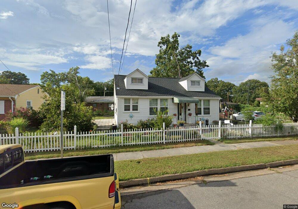
5130 Krick St Norfolk, VA 23513
Sherwood Forest NeighborhoodEstimated Value: $216,000 - $242,000
2
Beds
1
Bath
928
Sq Ft
$248/Sq Ft
Est. Value
About This Home
This home is located at 5130 Krick St, Norfolk, VA 23513 and is currently estimated at $229,763, approximately $247 per square foot. 5130 Krick St is a home located in Norfolk City with nearby schools including Sherwood Forest Elementary School, Norview Middle School, and B.T. Washington High School.
Ownership History
Date
Name
Owned For
Owner Type
Purchase Details
Closed on
May 10, 2005
Sold by
Orr Rex
Bought by
Mccullough Kaison and Mccullough Sukanda
Current Estimated Value
Home Financials for this Owner
Home Financials are based on the most recent Mortgage that was taken out on this home.
Original Mortgage
$137,391
Outstanding Balance
$70,621
Interest Rate
5.62%
Mortgage Type
VA
Estimated Equity
$159,142
Create a Home Valuation Report for This Property
The Home Valuation Report is an in-depth analysis detailing your home's value as well as a comparison with similar homes in the area
Home Values in the Area
Average Home Value in this Area
Purchase History
| Date | Buyer | Sale Price | Title Company |
|---|---|---|---|
| Mccullough Kaison | $134,500 | -- |
Source: Public Records
Mortgage History
| Date | Status | Borrower | Loan Amount |
|---|---|---|---|
| Open | Mccullough Kaison | $137,391 |
Source: Public Records
Tax History
| Year | Tax Paid | Tax Assessment Tax Assessment Total Assessment is a certain percentage of the fair market value that is determined by local assessors to be the total taxable value of land and additions on the property. | Land | Improvement |
|---|---|---|---|---|
| 2025 | $2,671 | $213,700 | $92,500 | $121,200 |
| 2024 | $2,546 | $207,000 | $92,500 | $114,500 |
| 2023 | $2,421 | $193,700 | $92,500 | $101,200 |
| 2022 | $2,259 | $180,700 | $80,500 | $100,200 |
| 2021 | $2,018 | $161,400 | $69,700 | $91,700 |
| 2020 | $1,869 | $149,500 | $59,500 | $90,000 |
| 2019 | $1,766 | $141,300 | $54,000 | $87,300 |
| 2018 | $1,723 | $137,800 | $54,000 | $83,800 |
| 2017 | $1,548 | $134,600 | $54,000 | $80,600 |
| 2016 | $1,490 | $133,300 | $54,000 | $79,300 |
| 2015 | $1,472 | $133,300 | $54,000 | $79,300 |
| 2014 | $1,472 | $133,300 | $54,000 | $79,300 |
Source: Public Records
Map
Nearby Homes
- 2684 Azalea Garden Rd Unit B
- 5116 Woolsey St
- 2688 Azalea Garden Rd Unit B
- 2694 Azalea Garden Rd Unit A
- 2690 Azalea Garden Rd Unit B
- 5026 Krick St
- 4926 Krick St
- 5108 Elmhurst Ave
- 4738 Kennebeck Ave
- 4635 Robin Hood Rd
- 1555 Fleetwood Ave
- 4807 Winthrop St
- 3413 Wellington St
- 4720 Elmhurst Ave
- 1558 Norcova Ave
- 4558 Shoshone Ct
- 3450 Herbert St
- 5165 E Princess Anne Rd
- 4880 Texas Ave
- 5329 Silvey Dr
- 5134 Krick St
- 4899 Robin Hood Rd
- 5124 Krick St
- 4903 Robin Hood Rd
- 5118 Krick St
- 4895 Robin Hood Rd
- 2675 Azalea Garden Rd
- 5142 Krick St
- 2682 Azalea Garden Rd
- 2684 Azalea Garden Rd
- 4891 Robin Hood Rd
- 5114 Krick St
- 2696 Azalea Garden Rd Unit D
- 5113 Krick St
- 2669 Azalea Garden Rd
- 5108 Krick St
- 4894 Robin Hood Rd
- 2680 Azalea Garden Rd Unit D
- 2680 Azalea Garden Rd
- 4890 Robin Hood Rd
Your Personal Tour Guide
Ask me questions while you tour the home.