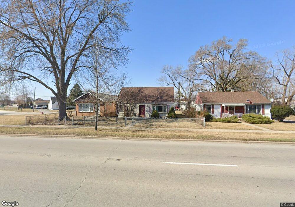
5138 State Rd Burbank, IL 60459
Estimated Value: $249,000 - $291,000
3
Beds
2
Baths
1,080
Sq Ft
$247/Sq Ft
Est. Value
About This Home
This home is located at 5138 State Rd, Burbank, IL 60459 and is currently estimated at $266,613, approximately $246 per square foot. 5138 State Rd is a home located in Cook County with nearby schools including J.B. Kennedy Elementary School, Reavis High School, and St Albert the Great Catholic School.
Create a Home Valuation Report for This Property
The Home Valuation Report is an in-depth analysis detailing your home's value as well as a comparison with similar homes in the area
Home Values in the Area
Average Home Value in this Area
Tax History
| Year | Tax Paid | Tax Assessment Tax Assessment Total Assessment is a certain percentage of the fair market value that is determined by local assessors to be the total taxable value of land and additions on the property. | Land | Improvement |
|---|---|---|---|---|
| 2025 | $2,298 | $9,067 | $2,969 | $6,098 |
| 2024 | $2,298 | $9,067 | $2,969 | $6,098 |
| 2023 | $2,460 | $9,067 | $2,969 | $6,098 |
| 2022 | $2,460 | $8,089 | $2,578 | $5,511 |
| 2021 | $2,370 | $8,088 | $2,578 | $5,510 |
| 2020 | $2,327 | $8,088 | $2,578 | $5,510 |
| 2019 | $2,465 | $8,595 | $2,343 | $6,252 |
| 2018 | $2,394 | $8,595 | $2,343 | $6,252 |
| 2017 | $2,325 | $8,595 | $2,343 | $6,252 |
| 2016 | $2,241 | $7,610 | $1,953 | $5,657 |
| 2015 | $2,137 | $7,610 | $1,953 | $5,657 |
| 2014 | $2,081 | $7,610 | $1,953 | $5,657 |
| 2013 | $2,246 | $8,786 | $1,953 | $6,833 |
Source: Public Records
Map
Nearby Homes
- 5145 State Rd
- 7609 Lockwood Ave
- 7514 Lockwood Ave
- 7714 Lavergne Ave
- 7772 Lavergne Ave
- 5046 W 79th St
- 7832 Lamon Ave
- 7828 Lotus Ave
- 7920 S Lorel Ave
- 7964 Lavergne Ave
- 7731 S Keating Ave
- 8009 Lavergne Ave
- 7807 Parkside Ave
- 8103 Long Ave
- 8110 Lockwood Ave
- 7814 Major Ave
- 7751 Massasoit Ave
- 7835 Massasoit Ave
- 7843 Massasoit Ave
- 7900 S Kilpatrick Ave
- 5138 State Rd
- 5140 State Rd
- 5142 State Rd
- 5134 State Rd
- 5134 State Rd
- 5130 State Rd
- 7605 S Laramie Ave
- 7605 Laramie Ave
- 7605 Laramie Ave
- 5128 State Rd
- 7601 Laramie Ave
- 7601 Laramie Ave
- 7618 Laramie Ave
- 7618 Laramie Ave
- 7624 Laramie Ave
- 7624 Laramie Ave
- 7612 Laramie Ave
- 7612 Laramie Ave
- 5133 State Rd
- 7608 Laramie Ave
Your Personal Tour Guide
Ask me questions while you tour the home.