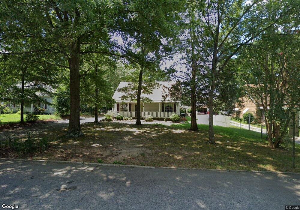
5142 Wheat St NE Covington, GA 30014
Estimated Value: $136,000 - $264,000
Studio
1
Bath
1,440
Sq Ft
$123/Sq Ft
Est. Value
About This Home
This home is located at 5142 Wheat St NE, Covington, GA 30014 and is currently estimated at $176,565, approximately $122 per square foot. 5142 Wheat St NE is a home located in Newton County with nearby schools including Flint Hill Elementary School, Cousins Middle School, and Eastside High School.
Ownership History
Date
Name
Owned For
Owner Type
Purchase Details
Closed on
Feb 22, 2024
Sold by
Smith Robert A
Bought by
Smith Bernadette R
Current Estimated Value
Purchase Details
Closed on
Jan 31, 2024
Sold by
Smith Bernadette R
Bought by
Smith Bernadette R and Smith Suzanne J
Purchase Details
Closed on
Mar 28, 2013
Sold by
Smith Bernadette R
Bought by
Smith Bernadette R and Smith Beverly A
Purchase Details
Closed on
Jul 26, 2012
Sold by
Smith Raymond W
Bought by
Smith Bernadette R
Create a Home Valuation Report for This Property
The Home Valuation Report is an in-depth analysis detailing your home's value as well as a comparison with similar homes in the area
Home Values in the Area
Average Home Value in this Area
Purchase History
We collect this data history from publicly available records. To have your information removed, we recommend requesting removal directly through your county’s website.
| Date | Buyer | Sale Price | Title Company |
|---|---|---|---|
| Smith Bernadette R | -- | -- | |
| Smith Bernadette R | -- | -- | |
| Smith Bernadette R | -- | -- | |
| Smith Bernadette R | -- | -- |
Source: Public Records
Tax History
| Year | Tax Paid | Tax Assessment Tax Assessment Total Assessment is a certain percentage of the fair market value that is determined by local assessors to be the total taxable value of land and additions on the property. | Land | Improvement |
|---|---|---|---|---|
| 2025 | $305 | $50,080 | $20,000 | $30,080 |
| 2024 | $292 | $42,480 | $14,000 | $28,480 |
| 2023 | $164 | $31,200 | $4,000 | $27,200 |
| 2022 | $177 | $28,320 | $4,000 | $24,320 |
| 2021 | $159 | $23,160 | $4,000 | $19,160 |
| 2020 | $233 | $22,240 | $4,000 | $18,240 |
| 2019 | $275 | $23,120 | $4,000 | $19,120 |
| 2018 | $62 | $16,160 | $4,000 | $12,160 |
| 2017 | $409 | $13,200 | $2,000 | $11,200 |
| 2016 | $427 | $13,640 | $2,800 | $10,840 |
| 2015 | $373 | $12,320 | $2,000 | $10,320 |
| 2014 | $306 | $12,320 | $0 | $0 |
Source: Public Records
Map
Nearby Homes
- 6114 Hopkins St NE
- 5113 Haynes Ct NE
- 5186 Hartsook Dr NE
- 5130 N Dearing St NE
- 5193 Hazel St NE
- 5192 Newton Dr NE
- 5211 Adams St
- 6127 Newton Dr NE
- 5132 Hartsook Dr NE
- 5190 Adams St NE
- 4147 Elizabeth St NE
- 4117 N Dearing St NE
- 6104 Floyd St NE
- 5143 Floyd St NE
- 5118 Floyd St NE
- 2107 E Haven Dr NE
- 5173 Martin St SE
- 3160 Butler Ave SE
- 2173 Conyers St SE
- 2218 East St SE
- 5134 Wheat St NE
- 5119 Highway 278 NE
- 5158 Wheat St NE
- 5107 Wheat St NE
- 5131 Wheat St NE
- 5108 Hackett St NE
- 5168 Wheat St NE
- 5109 Worsham St NE
- 5123 Hackett St NE
- 5117 Wheat St NE
- 5144 Baxter St NE
- 5172 Wheat St NE
- 5119 Worsham St NE
- 5119 Worsham St NE Unit B
- 5119 Worsham St NE
- 5122 Hackett St NE
- 0 Highway 278 NE Unit 10595588
- 0 Highway 278 NE Unit 10382884
- 13388 Highway 278 NE
- E Highway 278 NE
Your Personal Tour Guide
Ask me questions while you tour the home.