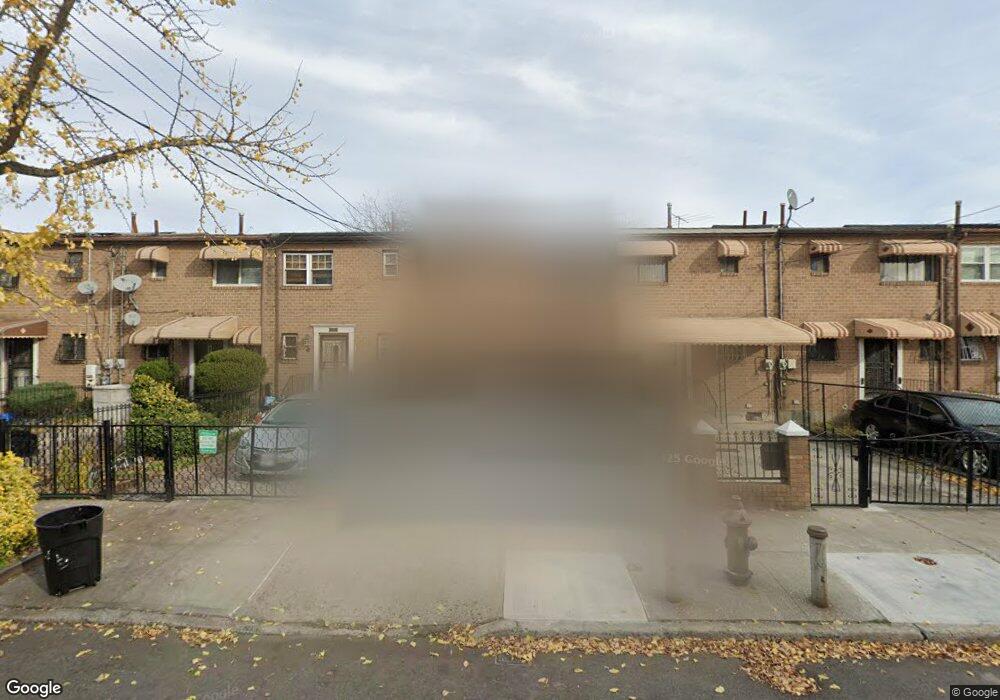
515 Christopher Ave Brooklyn, NY 11212
Brownsville NeighborhoodEstimated Value: $459,000 - $645,000
Studio
--
Bath
1,116
Sq Ft
$503/Sq Ft
Est. Value
About This Home
This home is located at 515 Christopher Ave, Brooklyn, NY 11212 and is currently estimated at $561,705, approximately $503 per square foot. 515 Christopher Ave is a home located in Kings County with nearby schools including P.S. 165 Ida Posner, P.S. 150 - Christopher, and P.S. 156 Waverly.
Ownership History
Date
Name
Owned For
Owner Type
Purchase Details
Closed on
Oct 14, 2004
Sold by
Spence Cynthia E
Bought by
Brad Cynthia L
Current Estimated Value
Home Financials for this Owner
Home Financials are based on the most recent Mortgage that was taken out on this home.
Original Mortgage
$234,740
Outstanding Balance
$113,569
Interest Rate
5.74%
Mortgage Type
Purchase Money Mortgage
Estimated Equity
$448,136
Create a Home Valuation Report for This Property
The Home Valuation Report is an in-depth analysis detailing your home's value as well as a comparison with similar homes in the area
Home Values in the Area
Average Home Value in this Area
Purchase History
| Date | Buyer | Sale Price | Title Company |
|---|---|---|---|
| Brad Cynthia L | $242,000 | -- |
Source: Public Records
Mortgage History
| Date | Status | Borrower | Loan Amount |
|---|---|---|---|
| Open | Brad Cynthia L | $234,740 |
Source: Public Records
Tax History
| Year | Tax Paid | Tax Assessment Tax Assessment Total Assessment is a certain percentage of the fair market value that is determined by local assessors to be the total taxable value of land and additions on the property. | Land | Improvement |
|---|---|---|---|---|
| 2025 | $4,117 | $32,340 | $13,380 | $18,960 |
| 2024 | $4,117 | $31,440 | $13,380 | $18,060 |
| 2023 | $4,163 | $32,700 | $13,380 | $19,320 |
| 2022 | $2,546 | $34,080 | $13,380 | $20,700 |
| 2021 | $2,560 | $30,480 | $13,380 | $17,100 |
| 2020 | $1,146 | $25,860 | $13,380 | $12,480 |
| 2019 | $2,066 | $25,860 | $13,380 | $12,480 |
| 2018 | $3,422 | $18,247 | $11,398 | $6,849 |
| 2017 | $3,352 | $17,914 | $11,749 | $6,165 |
| 2016 | $3,105 | $17,083 | $12,573 | $4,510 |
| 2015 | $1,819 | $16,117 | $10,555 | $5,562 |
| 2014 | $1,819 | $15,206 | $10,514 | $4,692 |
Source: Public Records
Map
Nearby Homes
- 592 Powell St
- 699 Sackman St
- 797 Mother Gaston Blvd
- 555 Christopher Ave
- 546 Powell St
- 578 Christopher Ave
- 625 Sackman St
- 892 Mother Gaston Blvd
- 584 Hinsdale St
- 533 Snediker Ave
- 1753 Linden Blvd
- 589 Hinsdale St
- 1755 Linden Blvd
- 923 Rockaway Ave
- 650 Williams Ave
- 660 Williams Ave
- 582 Williams Ave
- 578 Williams Ave
- 610 Alabama Ave
- 606 Alabama Ave
- 513 Christopher Ave
- 517 Christopher Ave
- 519 Christopher Ave
- 511 Christopher Ave
- 521 Christopher Ave
- 507 Christopher Ave
- 523 Christopher Ave
- 505 Christopher Ave
- 505 Chistopher Ave
- 525 Christopher Ave
- 734 Sackman St
- 732 Sackman St
- 736 Sackman St
- 730 Sackman St
- 738 Sackman St
- 503 Christopher Ave
- 728 Sackman St
- 740 Sackman St
- 527 Christopher Ave
- 742 Sackman St
Your Personal Tour Guide
Ask me questions while you tour the home.