5152 Perry Rd Mount Airy, MD 21771
Estimated Value: $418,429 - $534,000
About This Home
This home is located at 5152 Perry Rd, Mount Airy, MD 21771 and is currently estimated at $489,607, approximately $367 per square foot. 5152 Perry Rd is a home located in Carroll County with nearby schools including Winfield Elementary School, Mount Airy Middle School, and South Carroll High School.
Ownership History
We collect this data history from publicly available records. To have your information removed, we recommend requesting removal directly through your county’s website.
Purchase Details
Purchase Details
Home Financials for this Owner
Home Financials are based on the most recent Mortgage that was taken out on this home.Purchase History
We collect this data history from publicly available records. To have your information removed, we recommend requesting removal directly through your county’s website.
| Date | Buyer | Sale Price | Title Company |
|---|---|---|---|
| -- | -- | ||
| $89,900 | -- |
Mortgage History
We collect this data history from publicly available records. To have your information removed, we recommend requesting removal directly through your county’s website.
| Date | Status | Borrower | Loan Amount |
|---|---|---|---|
| Previous Owner | $67,900 |
Tax History
We collect this data history from publicly available records. To have your information removed, we recommend requesting removal directly through your county’s website.
| Year | Tax Paid | Tax Assessment Tax Assessment Total Assessment is a certain percentage of the fair market value that is determined by local assessors to be the total taxable value of land and additions on the property. | Land | Improvement |
|---|---|---|---|---|
| 2025 | $4,169 | $374,967 | $0 | $0 |
| 2024 | $3,964 | $348,600 | $183,100 | $165,500 |
| 2023 | $3,792 | $333,300 | $0 | $0 |
| 2022 | $3,619 | $318,000 | $0 | $0 |
| 2021 | $7,081 | $302,700 | $143,100 | $159,600 |
| 2020 | $3,416 | $299,700 | $0 | $0 |
| 2019 | $3,413 | $296,700 | $0 | $0 |
| 2018 | $3,349 | $293,700 | $143,100 | $150,600 |
| 2017 | $3,300 | $289,367 | $0 | $0 |
| 2016 | -- | $285,033 | $0 | $0 |
| 2015 | -- | $280,700 | $0 | $0 |
| 2014 | -- | $279,733 | $0 | $0 |
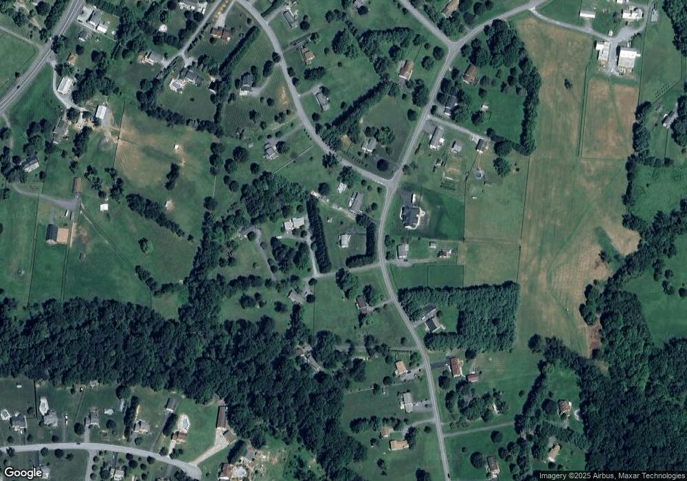
Map
- 4915 Jalmia Rd
- 2404 Braddock Rd
- 2621 Braddock Rd
- 2661 Dotsons Ridge Rd
- 4328 Ridge Rd Unit 13
- 4328 Ridge Rd Unit 14
- 4525 Roop Rd
- 3222 Kimberly Dr
- 2613 Liberty Rd
- 5412 Ridge Rd
- 4224 Iroquois Dr
- 2217 Cherokee Dr
- 4180 John Benjamin Dr
- 2319 Braddock Rd
- 2185 Sams Creek Rd
- 2237 Sams Creek Rd
- 3235 Old Liberty Rd
- 781 Starry Night Dr
- 785 Starry Night Dr
- 4036 Roop Rd
Ask me questions while you tour the home.