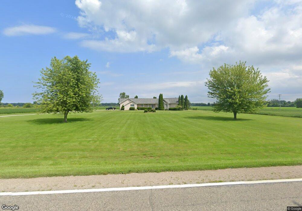
5152 State Rd Burtchville, MI 48059
Estimated Value: $334,000 - $420,000
Studio
--
Bath
2,140
Sq Ft
$169/Sq Ft
Est. Value
About This Home
This home is located at 5152 State Rd, Burtchville, MI 48059 and is currently estimated at $362,432, approximately $169 per square foot. 5152 State Rd is a home located in St. Clair County with nearby schools including Keewahdin Elementary School, Fort Gratiot Middle School, and Port Huron Northern High School.
Ownership History
Date
Name
Owned For
Owner Type
Purchase Details
Closed on
Oct 4, 2017
Sold by
Kovach Trust
Bought by
Lopez Paul J
Current Estimated Value
Home Financials for this Owner
Home Financials are based on the most recent Mortgage that was taken out on this home.
Original Mortgage
$255,050
Outstanding Balance
$212,810
Interest Rate
3.78%
Mortgage Type
New Conventional
Estimated Equity
$149,622
Purchase Details
Closed on
Jan 23, 2012
Sold by
Kovach Gregory P and Kovach Joanne G
Bought by
The Kovach Family T/U/A
Create a Home Valuation Report for This Property
The Home Valuation Report is an in-depth analysis detailing your home's value as well as a comparison with similar homes in the area
Home Values in the Area
Average Home Value in this Area
Purchase History
| Date | Buyer | Sale Price | Title Company |
|---|---|---|---|
| Lopez Paul J | $252,500 | -- | |
| The Kovach Family T/U/A | -- | Huron Title Company |
Source: Public Records
Mortgage History
| Date | Status | Borrower | Loan Amount |
|---|---|---|---|
| Open | Lopez Paul J | $255,050 |
Source: Public Records
Tax History
| Year | Tax Paid | Tax Assessment Tax Assessment Total Assessment is a certain percentage of the fair market value that is determined by local assessors to be the total taxable value of land and additions on the property. | Land | Improvement |
|---|---|---|---|---|
| 2025 | $2,392 | $163,700 | $0 | $0 |
| 2024 | $2,320 | $165,500 | $0 | $0 |
| 2023 | $2,141 | $158,100 | $0 | $0 |
| 2022 | $3,737 | $142,000 | $0 | $0 |
| 2020 | $3,493 | $118,600 | $118,600 | $0 |
| 2019 | $3,397 | $113,600 | $0 | $0 |
| 2018 | $3,138 | $0 | $0 | $0 |
Source: Public Records
Map
Nearby Homes
- 5230 State Rd
- 5161 Parker Rd
- 4452 Cole Rd
- 4008 Keewahdin Rd
- 0 Mcintyre Rd Unit 50193698
- 4480 Pine Grove Ave
- 3154 Carrigan Rd
- 5741 Lakeshore Dr Ave
- 5569 Lakeshore Rd
- 3239 N Shoreview Dr
- 3260 N Shoreview Dr
- 00 Lakeshore Rd
- 5745 Lakeshore Dr Ave
- 6026 Delaware Dr
- 5837 Lakeshore Rd
- 5843 San Juan Dr
- 5851 Lakeshore Rd
- 5081 24th Ave
- 3935 Capital Ave
- TBD Metcalf Rd
Your Personal Tour Guide
Ask me questions while you tour the home.