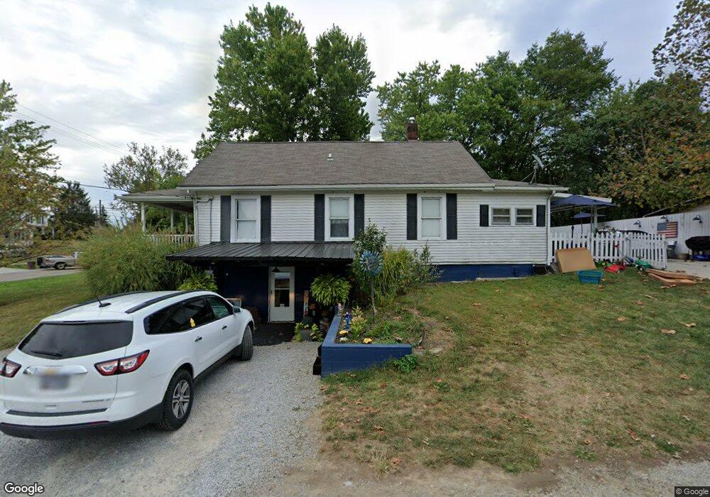
517 W State St Georgetown, OH 45121
Estimated Value: $127,000 - $225,000
3
Beds
1
Bath
1,829
Sq Ft
$100/Sq Ft
Est. Value
About This Home
This home is located at 517 W State St, Georgetown, OH 45121 and is currently estimated at $182,809, approximately $99 per square foot. 517 W State St is a home located in Brown County with nearby schools including Georgetown Elementary School and Georgetown Jr/Sr High School.
Ownership History
Date
Name
Owned For
Owner Type
Purchase Details
Closed on
Jun 5, 2020
Sold by
Mccord Julie A and Mccord Dennis Julie
Bought by
Mccord Julie A and Mccord Mark E
Current Estimated Value
Home Financials for this Owner
Home Financials are based on the most recent Mortgage that was taken out on this home.
Original Mortgage
$57,500
Outstanding Balance
$38,342
Interest Rate
3.2%
Mortgage Type
New Conventional
Estimated Equity
$144,467
Purchase Details
Closed on
Nov 5, 2004
Sold by
The Bank Of New York
Bought by
Dennis Julie A
Purchase Details
Closed on
Aug 26, 2004
Sold by
Dalton Troy R and Dalton Rhonda L
Bought by
The Bank Of New York and Eqcc Trust 2001-2
Create a Home Valuation Report for This Property
The Home Valuation Report is an in-depth analysis detailing your home's value as well as a comparison with similar homes in the area
Home Values in the Area
Average Home Value in this Area
Purchase History
| Date | Buyer | Sale Price | Title Company |
|---|---|---|---|
| Mccord Julie A | -- | Buckeye Land Title Company | |
| Dennis Julie A | $43,900 | -- | |
| The Bank Of New York | $41,334 | Resource Title Agency Inc |
Source: Public Records
Mortgage History
| Date | Status | Borrower | Loan Amount |
|---|---|---|---|
| Open | Mccord Julie A | $57,500 |
Source: Public Records
Tax History
| Year | Tax Paid | Tax Assessment Tax Assessment Total Assessment is a certain percentage of the fair market value that is determined by local assessors to be the total taxable value of land and additions on the property. | Land | Improvement |
|---|---|---|---|---|
| 2025 | $995 | $27,440 | $5,530 | $21,910 |
| 2024 | $995 | $27,440 | $5,530 | $21,910 |
| 2023 | $995 | $20,580 | $4,670 | $15,910 |
| 2022 | $811 | $20,580 | $4,670 | $15,910 |
| 2021 | $804 | $20,580 | $4,670 | $15,910 |
| 2020 | $711 | $17,140 | $3,890 | $13,250 |
| 2019 | $353 | $17,140 | $3,890 | $13,250 |
| 2018 | $701 | $17,140 | $3,890 | $13,250 |
| 2017 | $538 | $15,520 | $4,270 | $11,250 |
| 2016 | $538 | $15,520 | $4,270 | $11,250 |
| 2015 | $554 | $15,520 | $4,270 | $11,250 |
| 2014 | $554 | $15,140 | $3,890 | $11,250 |
| 2013 | $552 | $15,140 | $3,890 | $11,250 |
Source: Public Records
Map
Nearby Homes
- 510 W State St
- 0 St Rt 221 & Footbridge Unit 1826509
- 200 N High St
- 405 N Main St
- 505 S Water St
- 406 E North St
- 399 Elmwood Ct
- 20 Heritage Hill Dr
- 60 New St
- 666 E State St
- 64 N Kenwood Ave
- 427 Kenwood Ave
- 708 E State St
- 90 Douglas Cir
- 175 Douglas Cir
- 3486 Barnes Rd
- 7029 Free Soil Rd
- 0 Barnes Rd Unit 1851215
- 3546 Ohio 125
- 3465 Loudon Rd
- 103 Liming St
- 513 W State St
- 511 W State St
- 516 White Oak Ave
- 514 W State St
- 523 White Oak Ave
- 512 W State St
- 514 White Oak Ave
- 509 W State St
- 507 W State St
- 522 White Oak Ave
- 519 White Oak Ave
- 519 White Oak Ave
- 515 White Oak Ave
- 524 White Oak Ave
- 109 Crooked Creek Ln
- 107 Crooked Creek Ln
- 505 White Oak Ave
- 506 W Grant Ave
- 528 White Oak Ave
Your Personal Tour Guide
Ask me questions while you tour the home.