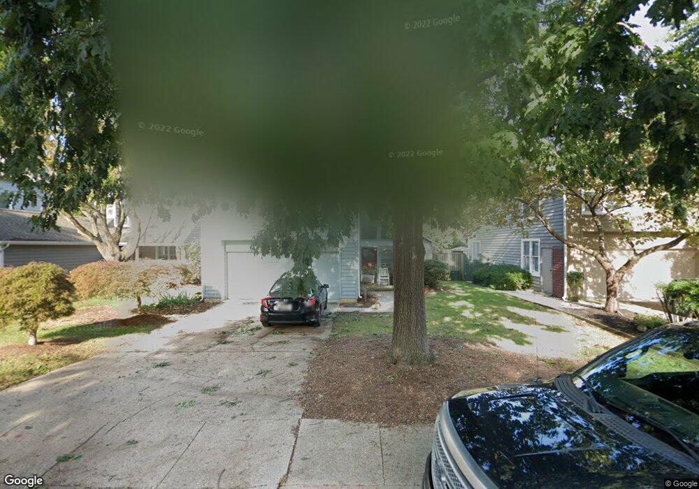
519 Third St Annapolis, MD 21403
Eastport NeighborhoodEstimated Value: $1,124,000 - $1,435,000
Studio
3
Baths
2,218
Sq Ft
$595/Sq Ft
Est. Value
About This Home
This home is located at 519 Third St, Annapolis, MD 21403 and is currently estimated at $1,320,407, approximately $595 per square foot. 519 Third St is a home located in Anne Arundel County with nearby schools including Eastport Elementary School, Annapolis Middle School, and Annapolis High School.
Ownership History
Date
Name
Owned For
Owner Type
Purchase Details
Closed on
Feb 26, 1999
Sold by
Oechsle Pieter F
Bought by
Borchard Eric and Borchard Therese J
Current Estimated Value
Purchase Details
Closed on
Jul 23, 1998
Sold by
Sample Kathleen
Bought by
Oechsle Pieter F
Purchase Details
Closed on
Apr 14, 1998
Sold by
Sample Lloyd E
Bought by
Sample Kathleen
Purchase Details
Closed on
Oct 24, 1996
Sold by
Sample Lloyd E
Bought by
Sample Lloyd E and Sample Kathleen
Purchase Details
Closed on
Sep 27, 1995
Sold by
Holtgrefe John C
Bought by
Sample Lloyd E
Home Financials for this Owner
Home Financials are based on the most recent Mortgage that was taken out on this home.
Original Mortgage
$260,000
Interest Rate
7.89%
Create a Home Valuation Report for This Property
The Home Valuation Report is an in-depth analysis detailing your home's value as well as a comparison with similar homes in the area
Home Values in the Area
Average Home Value in this Area
Purchase History
| Date | Buyer | Sale Price | Title Company |
|---|---|---|---|
| Borchard Eric | $360,000 | -- | |
| Oechsle Pieter F | $340,000 | -- | |
| Sample Kathleen | -- | -- | |
| Sample Lloyd E | -- | -- | |
| Sample Lloyd E | $325,000 | -- | |
| Sample Lloyd E | $325,000 | -- |
Source: Public Records
Mortgage History
| Date | Status | Borrower | Loan Amount |
|---|---|---|---|
| Previous Owner | Sample Lloyd E | $260,000 | |
| Closed | Sample Lloyd E | -- |
Source: Public Records
Tax History
| Year | Tax Paid | Tax Assessment Tax Assessment Total Assessment is a certain percentage of the fair market value that is determined by local assessors to be the total taxable value of land and additions on the property. | Land | Improvement |
|---|---|---|---|---|
| 2025 | $10,066 | $1,059,933 | -- | -- |
| 2024 | $10,066 | $924,967 | $0 | $0 |
| 2023 | $9,338 | $790,000 | $528,600 | $261,400 |
| 2022 | $9,047 | $775,767 | $0 | $0 |
| 2021 | $8,714 | $761,533 | $0 | $0 |
| 2020 | $8,714 | $747,300 | $500,500 | $246,800 |
| 2019 | $8,672 | $747,300 | $500,500 | $246,800 |
| 2018 | $8,545 | $747,300 | $500,500 | $246,800 |
| 2017 | $7,972 | $763,500 | $0 | $0 |
| 2016 | -- | $702,267 | $0 | $0 |
| 2015 | -- | $641,033 | $0 | $0 |
| 2014 | -- | $579,800 | $0 | $0 |
Source: Public Records
Map
Nearby Homes
- 200 Chesapeake Ave
- 120 Chesapeake Ave
- 400 Chesapeake Ave Unit 2-101
- 312 Severn Ave
- 312 Severn Ave Unit W-401
- 509 Chesapeake Ave
- 513 Horn Point Dr
- 517 Burnside St
- 301 Burnside St
- 316 Burnside St Unit 203
- 289 State St Unit 4
- 313 Washington St
- 3 Klakring Ct
- 287 State St Unit 2
- 98 Duke of Gloucester St
- 818 Boucher Ave
- 9 Shipwright St
- 7101 Bay Front Dr Unit 301
- 1 Shipwright Harbor
- 75 Shipwright St
Your Personal Tour Guide
Ask me questions while you tour the home.