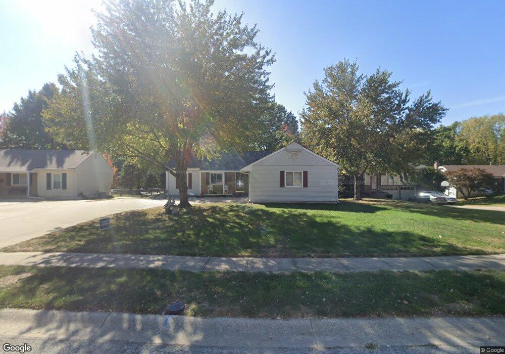
519 Vivian St Liberty, MO 64068
Estimated Value: $267,973 - $294,000
3
Beds
2
Baths
1,120
Sq Ft
$250/Sq Ft
Est. Value
About This Home
This home is located at 519 Vivian St, Liberty, MO 64068 and is currently estimated at $279,993, approximately $249 per square foot. 519 Vivian St is a home located in Clay County with nearby schools including Manor Hill Elementary School, Liberty Middle School, and Liberty High School.
Ownership History
Date
Name
Owned For
Owner Type
Purchase Details
Closed on
Oct 23, 2003
Sold by
Johnson Jack H and Johnson Carol A
Bought by
Reeds Robert E and Reeds Carolyn F
Current Estimated Value
Purchase Details
Closed on
Jul 10, 2003
Sold by
Brungardt Karen L
Bought by
Johnson Jack H and Johnson Carol A
Purchase Details
Closed on
Mar 14, 2002
Sold by
Midyett Barbara S and Midyett Barbara Sue
Bought by
Brungardt Karen L
Home Financials for this Owner
Home Financials are based on the most recent Mortgage that was taken out on this home.
Original Mortgage
$124,591
Interest Rate
6.83%
Mortgage Type
FHA
Create a Home Valuation Report for This Property
The Home Valuation Report is an in-depth analysis detailing your home's value as well as a comparison with similar homes in the area
Home Values in the Area
Average Home Value in this Area
Purchase History
| Date | Buyer | Sale Price | Title Company |
|---|---|---|---|
| Reeds Robert E | -- | Thomson Title Corporation | |
| Johnson Jack H | -- | Thomson Title Corporation | |
| Brungardt Karen L | -- | Thomson Title Corporation |
Source: Public Records
Mortgage History
| Date | Status | Borrower | Loan Amount |
|---|---|---|---|
| Previous Owner | Brungardt Karen L | $124,591 |
Source: Public Records
Tax History
| Year | Tax Paid | Tax Assessment Tax Assessment Total Assessment is a certain percentage of the fair market value that is determined by local assessors to be the total taxable value of land and additions on the property. | Land | Improvement |
|---|---|---|---|---|
| 2025 | $2,766 | $38,700 | -- | -- |
| 2024 | $2,766 | $35,970 | -- | -- |
| 2023 | $2,813 | $35,970 | $0 | $0 |
| 2022 | $2,445 | $30,860 | $0 | $0 |
| 2021 | $2,426 | $30,856 | $3,800 | $27,056 |
| 2020 | $2,172 | $25,950 | $0 | $0 |
| 2019 | $2,172 | $25,954 | $3,800 | $22,154 |
| 2018 | $2,100 | $24,640 | $0 | $0 |
| 2017 | $2,081 | $24,640 | $3,800 | $20,840 |
| 2016 | $2,081 | $24,640 | $3,800 | $20,840 |
| 2015 | $2,081 | $24,640 | $3,800 | $20,840 |
| 2014 | $2,006 | $23,560 | $3,800 | $19,760 |
Source: Public Records
Map
Nearby Homes
- 1356 Brown St
- 1010 Wellington Way
- 1705 Johnston St
- 1505 Ashton Dr
- 191 Grant St
- 1100 Wellington Way
- 1116 Owen Dr
- 819 S Main St
- 408 W Murray Rd
- 1842 White Tail Ln
- 706 W Brown St
- 1312 Wellington Way
- 336 Georgia Ct
- 843 Sherrill Ave
- 1232 Old Manor Rd
- 618 Dixie St
- 1856 Arbor Trail
- 225 Groom St
- 1210 Dunwich Dr
- 1768 Homestead Dr
Your Personal Tour Guide
Ask me questions while you tour the home.