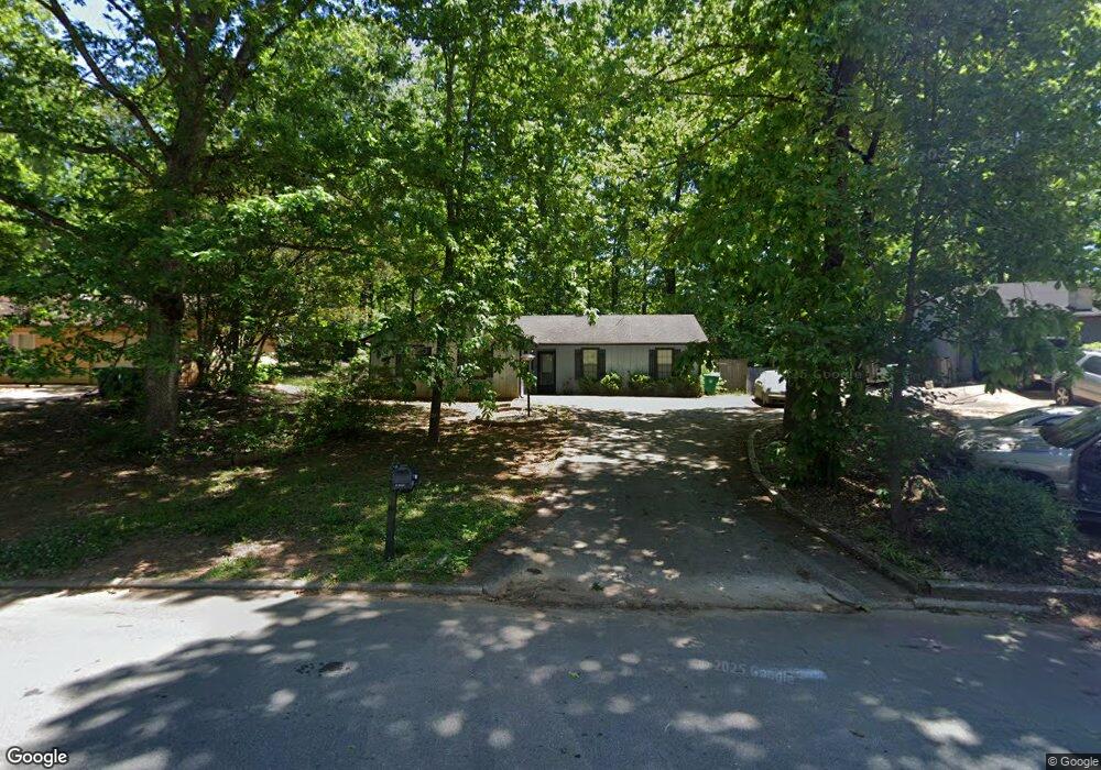
5193 Walker Rd Unit 1 Stone Mountain, GA 30088
Estimated Value: $208,000 - $237,000
3
Beds
2
Baths
1,262
Sq Ft
$176/Sq Ft
Est. Value
About This Home
This home is located at 5193 Walker Rd Unit 1, Stone Mountain, GA 30088 and is currently estimated at $221,594, approximately $175 per square foot. 5193 Walker Rd Unit 1 is a home located in DeKalb County with nearby schools including Shadow Rock Elementary School, Redan Middle School, and Redan High School.
Ownership History
Date
Name
Owned For
Owner Type
Purchase Details
Closed on
Oct 29, 1998
Sold by
Contimortgage Corp
Bought by
Maolud Wazir H
Current Estimated Value
Home Financials for this Owner
Home Financials are based on the most recent Mortgage that was taken out on this home.
Original Mortgage
$71,910
Outstanding Balance
$15,351
Interest Rate
6.61%
Mortgage Type
New Conventional
Estimated Equity
$206,243
Purchase Details
Closed on
May 5, 1998
Sold by
Osbie Walter J
Bought by
Contimortgage
Create a Home Valuation Report for This Property
The Home Valuation Report is an in-depth analysis detailing your home's value as well as a comparison with similar homes in the area
Home Values in the Area
Average Home Value in this Area
Purchase History
We collect this data history from publicly available records. To have your information removed, we recommend requesting removal directly through your county’s website.
| Date | Buyer | Sale Price | Title Company |
|---|---|---|---|
| Maolud Wazir H | $79,900 | -- | |
| Contimortgage | -- | -- |
Source: Public Records
Mortgage History
We collect this data history from publicly available records. To have your information removed, we recommend requesting removal directly through your county’s website.
| Date | Status | Borrower | Loan Amount |
|---|---|---|---|
| Open | Maolud Wazir H | $71,910 |
Source: Public Records
Tax History
| Year | Tax Paid | Tax Assessment Tax Assessment Total Assessment is a certain percentage of the fair market value that is determined by local assessors to be the total taxable value of land and additions on the property. | Land | Improvement |
|---|---|---|---|---|
| 2025 | $2,368 | $83,960 | $20,000 | $63,960 |
| 2024 | $2,440 | $84,880 | $20,000 | $64,880 |
| 2023 | $2,440 | $82,760 | $20,000 | $62,760 |
| 2022 | $2,029 | $70,440 | $7,200 | $63,240 |
| 2021 | $1,612 | $52,360 | $7,200 | $45,160 |
| 2020 | $1,481 | $46,480 | $7,200 | $39,280 |
| 2019 | $1,131 | $35,480 | $4,800 | $30,680 |
| 2018 | $961 | $33,960 | $4,800 | $29,160 |
| 2017 | $1,023 | $31,440 | $4,800 | $26,640 |
| 2016 | $842 | $26,880 | $4,800 | $22,080 |
| 2014 | $706 | $22,800 | $3,080 | $19,720 |
Source: Public Records
Map
Nearby Homes
- 767 Forest Path
- 5333 Greenhedge Trail
- 5268 Fox Path
- 854 Greenhedge Dr
- 884 Forest Path
- 826 Greenhedge Way Unit 2
- 817 Greenhedge Way
- 874 Fox Valley Dr
- 910 Forest Path
- 879 Lost Creek Cir
- 5215 Mainstreet Park Dr
- 915 Fox Valley Ct
- 937 Fox Valley Ct
- 5397 Fox Valley Trace
- 5192 Mainstreet Park Dr
- 5208 McCarter Station
- 956 Forest Path
- 829 Post Road Way
- 1015 Sly Fox Ct
- 1000 Fox Valley Trail
- 5199 Walker Rd
- 5185 Walker Rd
- 5342 Greenhedge Trail
- 5338 Greenhedge Trail
- 5207 Walker Rd
- 5346 Greenhedge Trail
- 5190 Walker Rd
- 5198 Walker Rd
- 5334 Greenhedge Trail
- 803 Forest Path
- 5215 Walker Rd Unit 1
- 5350 Greenhedge Trail
- 811 Forest Path
- 5182 Walker Rd
- 5206 Walker Rd
- 817 Forest Path
- 4567 Walker Rd
- 5341 Greenhedge Trail
- 5355 Greenhedge Trail
- 5356 Greenhedge Trail
Your Personal Tour Guide
Ask me questions while you tour the home.