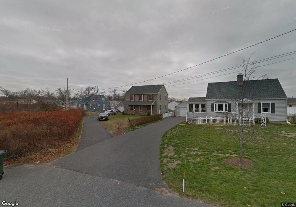
52 Amanda St Springfield, MA 01118
East Forest Park NeighborhoodEstimated Value: $334,078 - $386,000
About This Home
This home is located at 52 Amanda St, Springfield, MA 01118 and is currently estimated at $358,520, approximately $219 per square foot. 52 Amanda St is a home located in Hampden County with nearby schools including Mary A. Dryden Veterans Memorial School, M Marcus Kiley Middle, and Springfield High School of Science and Technology.
Ownership History
We collect this data history from publicly available records. To have your information removed, we recommend requesting removal directly through your county’s website.
Purchase Details
Home Financials for this Owner
Home Financials are based on the most recent Mortgage that was taken out on this home.Purchase Details
Home Values in the Area
Average Home Value in this Area
Purchase History
We collect this data history from publicly available records. To have your information removed, we recommend requesting removal directly through your county’s website.
| Date | Buyer | Sale Price | Title Company |
|---|---|---|---|
| $159,900 | -- | ||
| -- | -- |
Mortgage History
We collect this data history from publicly available records. To have your information removed, we recommend requesting removal directly through your county’s website.
| Date | Status | Borrower | Loan Amount |
|---|---|---|---|
| Open | $140,788 | ||
| Closed | $145,349 | ||
| Previous Owner | $10,000 |
Tax History
We collect this data history from publicly available records. To have your information removed, we recommend requesting removal directly through your county’s website.
| Year | Tax Paid | Tax Assessment Tax Assessment Total Assessment is a certain percentage of the fair market value that is determined by local assessors to be the total taxable value of land and additions on the property. | Land | Improvement |
|---|---|---|---|---|
| 2025 | $4,626 | $295,000 | $48,800 | $246,200 |
| 2024 | $4,023 | $250,500 | $48,800 | $201,700 |
| 2023 | $3,807 | $223,300 | $46,500 | $176,800 |
| 2022 | $3,676 | $195,300 | $46,500 | $148,800 |
| 2021 | $4,695 | $192,100 | $42,300 | $149,800 |
| 2020 | $4,751 | $187,000 | $42,300 | $144,700 |
| 2019 | $3,582 | $182,000 | $42,300 | $139,700 |
| 2018 | $3,523 | $179,000 | $42,300 | $136,700 |
| 2017 | $3,269 | $166,300 | $42,300 | $124,000 |
| 2016 | $2,894 | $147,200 | $42,300 | $104,900 |
| 2015 | $3,017 | $153,400 | $42,300 | $111,100 |
Map
- 227 Arcadia Blvd
- 282 Island Pond Rd
- 62 Balfour Dr
- 412 Island Pond Rd
- 97 Overlook Dr
- 105 Overlook Dr
- 620 Roosevelt Ave
- 170 Plumtree Rd
- 379 Roosevelt Ave
- 222 Plumtree Rd
- 245 Plumtree Rd
- 881 Roosevelt Ave
- 20 Ashbrook St
- 107 Perkins St
- 746-748 Alden St
- 130-132 W Alvord St
- 91 Daviston St
- 119-121 Middlesex St
- 30-32 Colchester St
- es Eddywood St
Ask me questions while you tour the home.