52 Anchor Dr Unit 52A Key Largo, FL 33037
North Key Largo NeighborhoodEstimated Value: $2,389,000 - $4,233,000
2
Beds
2
Baths
1,584
Sq Ft
$2,009/Sq Ft
Est. Value
About This Home
This home is located at 52 Anchor Dr Unit 52A, Key Largo, FL 33037 and is currently estimated at $3,182,919, approximately $2,009 per square foot. 52 Anchor Dr Unit 52A is a home located in Monroe County with nearby schools including Key Largo School, Coral Shores High School, and The Academy At Ocean Reef.
Ownership History
Date
Name
Owned For
Owner Type
Purchase Details
Closed on
Apr 3, 2015
Sold by
Vanden Berg Norris and Van Den Berg Gail Ann
Bought by
Guerrieri Daniel
Current Estimated Value
Purchase Details
Closed on
Jul 24, 2009
Sold by
Cossette Jerrold E and Cossette Dani J
Bought by
Cossette Dani J and Cossette Jerrold E
Purchase Details
Closed on
Mar 1, 1993
Bought by
Cossette Dani J Trust 07/24/09
Purchase Details
Closed on
Mar 1, 1988
Bought by
Cossette Dani J Trust 07/24/09
Purchase Details
Closed on
Mar 1, 1981
Bought by
Cossette Dani J Trust 07/24/09
Purchase Details
Closed on
Feb 1, 1977
Bought by
Cossette Dani J Trust 07/24/09
Create a Home Valuation Report for This Property
The Home Valuation Report is an in-depth analysis detailing your home's value as well as a comparison with similar homes in the area
Home Values in the Area
Average Home Value in this Area
Purchase History
| Date | Buyer | Sale Price | Title Company |
|---|---|---|---|
| Guerrieri Daniel | $900,000 | None Available | |
| Cossette Dani J | -- | None Available | |
| Cossette Dani J Trust 07/24/09 | $112,500 | -- | |
| Cossette Dani J Trust 07/24/09 | $129,000 | -- | |
| Cossette Dani J Trust 07/24/09 | $102,000 | -- | |
| Cossette Dani J Trust 07/24/09 | $41,800 | -- |
Source: Public Records
Tax History
| Year | Tax Paid | Tax Assessment Tax Assessment Total Assessment is a certain percentage of the fair market value that is determined by local assessors to be the total taxable value of land and additions on the property. | Land | Improvement |
|---|---|---|---|---|
| 2025 | $13,192 | $2,604,785 | -- | $2,604,785 |
| 2024 | $11,655 | $2,638,912 | -- | $2,638,912 |
| 2023 | $11,655 | $2,249,361 | $0 | $2,249,361 |
| 2022 | $8,815 | $1,455,196 | $0 | $1,455,196 |
| 2021 | $7,557 | $1,009,664 | $0 | $1,009,664 |
| 2020 | $6,922 | $908,803 | $0 | $908,803 |
| 2019 | $6,661 | $871,408 | $0 | $871,408 |
| 2018 | $6,506 | $871,408 | $0 | $0 |
| 2017 | $5,708 | $724,840 | $0 | $0 |
| 2016 | $6,121 | $739,667 | $0 | $0 |
| 2015 | $6,261 | $735,280 | $0 | $0 |
| 2014 | $6,348 | $753,169 | $0 | $0 |
Source: Public Records
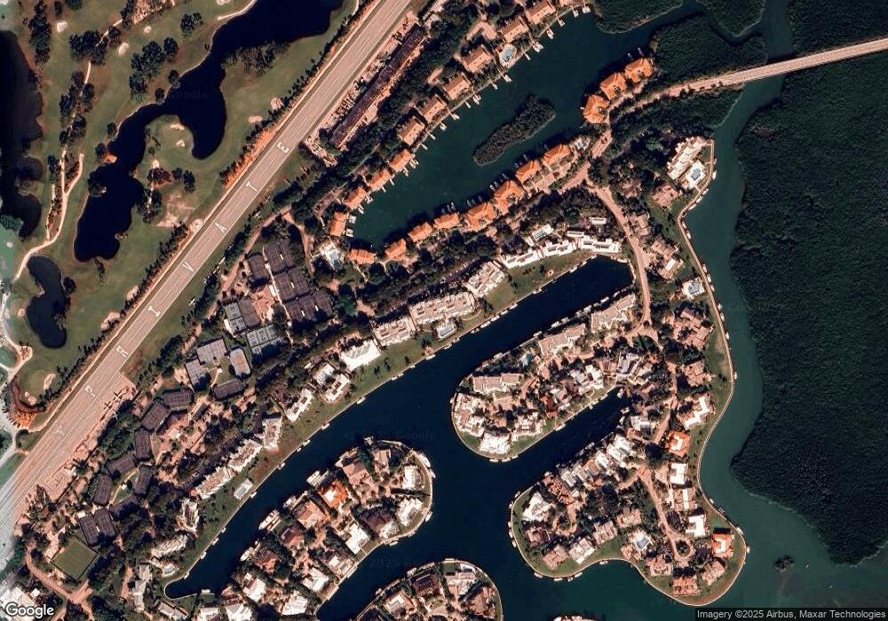
Map
Nearby Homes
- 41 Pumpkin Cay Rd Unit A
- 64 Tarpon Ln
- 10 Cannon Point
- 44 Card Sound Rd
- 365 S Harbor Dr
- 48 Thatch Palm Way
- 31 S Carysfort Cir
- 0 167th & Card Sound Rd Unit F10511744
- 500 Burton Dr Unit 3310
- 104.5 Mm 104 5 Overseas Hwy
- 500 Burton Dr Unit 1314
- 10987 County Road 905
- 0 NW 0 Unit A11935439
- 0 NW 0 Unit A11956672
- 0 NW 0 Unit A11935466
- 410xx SW 122 Ave
- 400xx SW 122 Ave
- 0 Unit 616391
- 133 Valois Blvd
- 3 Oleander Ave
- 65 Anchor Dr Unit B
- 49 Anchor Dr Unit 49A
- 64B Anchor Dr Unit 64B
- 64A Anchor Dr
- 57A Anchor Dr Unit 57A
- 65 Anchor Dr Unit B
- 57B Anchor Dr
- 51 Anchor Dr Unit 51B
- 50 Anchor Dr Unit 50A
- 63 Anchor Dr Unit AC63A
- 55 Anchor Dr Unit A
- 56A Anchor Dr Unit 56A
- 55B Anchor Dr Unit 55B
- 59 Anchor Dr Unit 59B
- 59 Anchor Dr Unit B
- 63 Anchor Dr Unit A
- 49 Anchor Dr Unit B
- 58 Anchor Dr Unit A
- 61 Anchor Dr Unit A
- 61 Anchor Dr
Your Personal Tour Guide
Ask me questions while you tour the home.