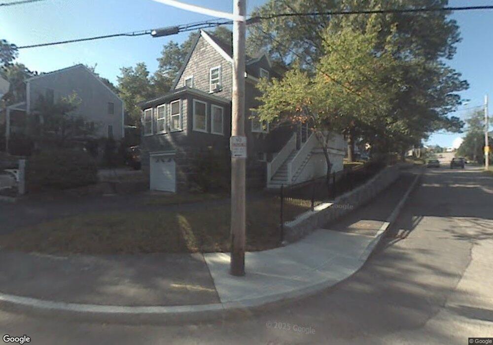
52 Forest Ave Quincy, MA 02169
Estimated Value: $616,508 - $695,000
2
Beds
1
Bath
1,273
Sq Ft
$522/Sq Ft
Est. Value
About This Home
This home is located at 52 Forest Ave, Quincy, MA 02169 and is currently estimated at $664,877, approximately $522 per square foot. 52 Forest Ave is a home located in Norfolk County with nearby schools including Montclair Elementary School, Atlantic Middle School, and North Quincy High School.
Ownership History
Date
Name
Owned For
Owner Type
Purchase Details
Closed on
Aug 12, 2022
Sold by
Deady Thomas P and Deady Laura M
Bought by
Deady Maureen C
Current Estimated Value
Purchase Details
Closed on
Nov 27, 2007
Sold by
Buchanan Anne and Deady James M
Bought by
Deady Ft and Libman Janet M
Purchase Details
Closed on
May 2, 2007
Sold by
Deady Thomas P
Bought by
Deady Thomas P and Deady Laura M
Home Financials for this Owner
Home Financials are based on the most recent Mortgage that was taken out on this home.
Original Mortgage
$175,000
Interest Rate
6.23%
Create a Home Valuation Report for This Property
The Home Valuation Report is an in-depth analysis detailing your home's value as well as a comparison with similar homes in the area
Purchase History
| Date | Buyer | Sale Price | Title Company |
|---|---|---|---|
| Deady Maureen C | -- | None Available | |
| Deady Ft | -- | -- | |
| Deady Thomas P | -- | -- |
Source: Public Records
Mortgage History
| Date | Status | Borrower | Loan Amount |
|---|---|---|---|
| Previous Owner | Deady Thomas P | $175,000 |
Source: Public Records
Tax History
| Year | Tax Paid | Tax Assessment Tax Assessment Total Assessment is a certain percentage of the fair market value that is determined by local assessors to be the total taxable value of land and additions on the property. | Land | Improvement |
|---|---|---|---|---|
| 2025 | $6,377 | $553,100 | $312,700 | $240,400 |
| 2024 | $6,043 | $536,200 | $297,900 | $238,300 |
| 2023 | $5,637 | $506,500 | $283,800 | $222,700 |
| 2022 | $5,271 | $440,000 | $227,100 | $212,900 |
| 2021 | $5,240 | $431,600 | $227,100 | $204,500 |
| 2020 | $5,367 | $431,800 | $227,100 | $204,700 |
| 2019 | $4,980 | $396,800 | $220,600 | $176,200 |
| 2018 | $4,980 | $373,300 | $204,300 | $169,000 |
| 2017 | $4,775 | $337,000 | $194,600 | $142,400 |
| 2016 | $4,450 | $309,900 | $177,000 | $132,900 |
| 2015 | $4,214 | $288,600 | $167,000 | $121,600 |
| 2014 | $4,060 | $273,200 | $167,000 | $106,200 |
Source: Public Records
Map
Nearby Homes
- 230 Willard St Unit 102
- 230 Willard St Unit 207
- 580 Quarry St Unit 13
- 46 Century Ln
- 41 Wallace Rd
- 440 Granite Ave Unit 201
- 510 Willard St
- 39 Cross St
- 40 Cross St Unit 1
- 1185 Brook Rd
- 40 Dean Rd
- 211 Copeland St
- 475 Beale St
- 211 West St Unit 11B
- 211 West St Unit 12B
- 156 West St
- 149 Reservoir Rd
- 260 West St Unit 7
- 17 Bunton St
- 84 West St Unit 1
- 44 Forest Ave
- 8 Malvesti Way
- 10 Malvesti Way
- 10 Malvesti Way Unit 10
- 10 Malvesti Way Unit A
- 10 Malvesti Way Unit B
- 12 Malvesti Way
- 12 Malvesti Way Unit 12
- 12 Malvesti Way Unit C
- 16 Malvesti Way
- 16 Malvesti Way Unit 16
- 53 Forest Ave
- 36 Forest Ave
- 19 Eagle Terrace
- 60 Forest Ave
- 40 Forest Ave
- 43 Forest Ave
- 22 Malvesti Way Unit 22
- 22 Malvesti Way
- 20 Malvesti Way
Your Personal Tour Guide
Ask me questions while you tour the home.