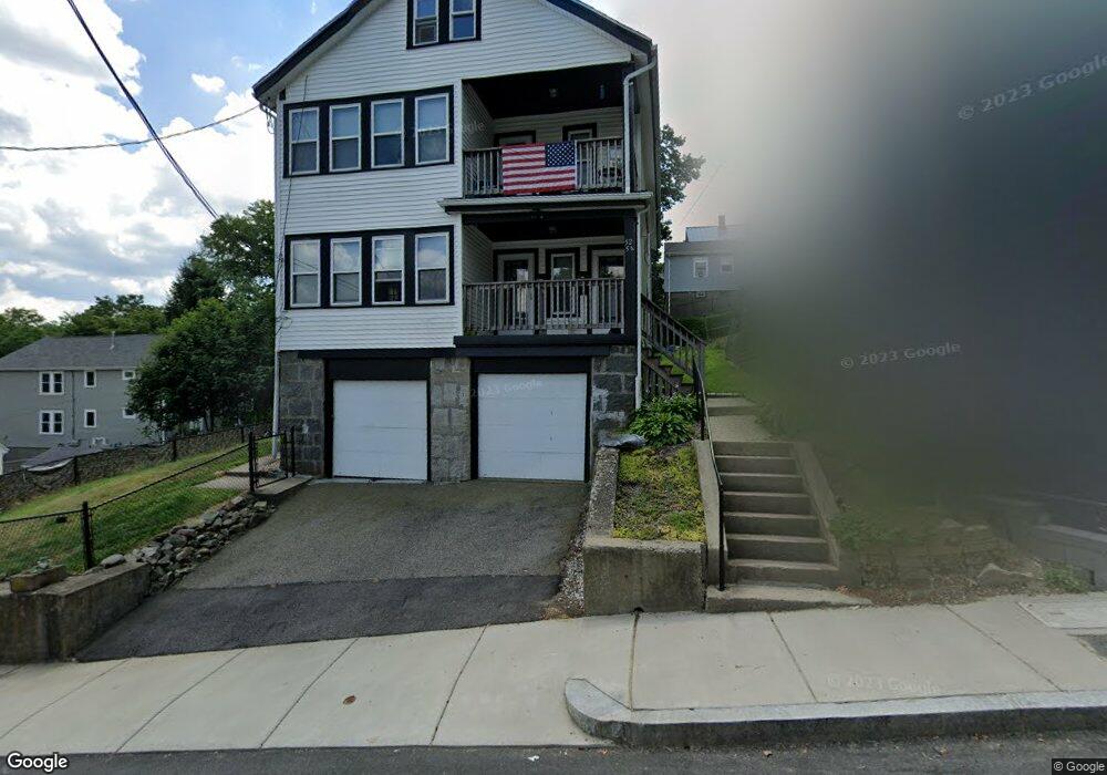
52 Hillock St Unit 54 Roslindale, MA 02131
Roslindale NeighborhoodEstimated Value: $905,000 - $1,005,000
5
Beds
2
Baths
2,356
Sq Ft
$407/Sq Ft
Est. Value
About This Home
This home is located at 52 Hillock St Unit 54, Roslindale, MA 02131 and is currently estimated at $958,174, approximately $406 per square foot. 52 Hillock St Unit 54 is a home located in Suffolk County with nearby schools including Brooke Charter School Roslindale, Holy Name Parish School, and Sacred Heart STEM School.
Ownership History
Date
Name
Owned For
Owner Type
Purchase Details
Closed on
Aug 3, 2017
Sold by
Donovan Carol A
Bought by
Donovan Lori M
Current Estimated Value
Purchase Details
Closed on
Jun 15, 1987
Sold by
Johanson John N
Bought by
Thomas Dorothy M
Home Financials for this Owner
Home Financials are based on the most recent Mortgage that was taken out on this home.
Original Mortgage
$90,000
Interest Rate
10.47%
Mortgage Type
Purchase Money Mortgage
Create a Home Valuation Report for This Property
The Home Valuation Report is an in-depth analysis detailing your home's value as well as a comparison with similar homes in the area
Home Values in the Area
Average Home Value in this Area
Purchase History
| Date | Buyer | Sale Price | Title Company |
|---|---|---|---|
| Donovan Lori M | -- | -- | |
| Thomas Dorothy M | $81,000 | -- |
Source: Public Records
Mortgage History
| Date | Status | Borrower | Loan Amount |
|---|---|---|---|
| Previous Owner | Thomas Dorothy M | $73,500 | |
| Previous Owner | Thomas Dorothy M | $90,000 | |
| Previous Owner | Thomas Dorothy M | $90,000 |
Source: Public Records
Tax History
| Year | Tax Paid | Tax Assessment Tax Assessment Total Assessment is a certain percentage of the fair market value that is determined by local assessors to be the total taxable value of land and additions on the property. | Land | Improvement |
|---|---|---|---|---|
| 2025 | $9,857 | $851,200 | $344,400 | $506,800 |
| 2024 | $8,262 | $758,000 | $290,300 | $467,700 |
| 2023 | $7,681 | $715,200 | $273,900 | $441,300 |
| 2022 | $7,136 | $655,900 | $251,200 | $404,700 |
| 2021 | $6,729 | $630,600 | $241,500 | $389,100 |
| 2020 | $6,247 | $591,600 | $226,800 | $364,800 |
| 2019 | $5,880 | $557,900 | $176,600 | $381,300 |
| 2018 | $5,317 | $507,300 | $176,600 | $330,700 |
| 2017 | $5,318 | $502,200 | $176,600 | $325,600 |
| 2016 | $5,068 | $460,700 | $176,600 | $284,100 |
| 2015 | $4,656 | $384,500 | $154,800 | $229,700 |
| 2014 | $4,695 | $373,200 | $154,800 | $218,400 |
Source: Public Records
Map
Nearby Homes
- 73 Westbourne St
- 15 Hillock St Unit 2
- 222 Roslindale Ave Unit 1
- 40 Montvale St Unit 1
- 778 W Roxbury Pkwy
- 11 Eugenia Rd
- 15 Eugenia Rd
- 951 South St
- 4464-4468 Washington St
- 6 Hayes Rd Unit 25
- 55 Metropolitan Ave
- 46 Belgrade Ave Unit 2
- 74 Bradfield Ave
- 18 Robert St Unit 14
- 15 S Fairview St Unit 3
- 437 Beech St
- 5 7 Hemman St
- 1721 Centre St Unit 402
- 1721 Centre St Unit 304
- 17 June St Unit 2
- 56 Hillock St
- 56 Hillock St Unit B
- 56 Hillock St Unit A
- 56 Hillock St Unit B
- 56 Hillock St Unit A
- 60 Hillock St
- 44 Hillock St
- 44 Beryl St
- 44 Beryl St Unit 1
- 44 Beryl St Unit 2
- 35 Hillock St
- 62 Hillock St Unit 64
- 62 Hillock St Unit 2
- 40 Beryl St
- 47 Hillock St
- 66-68 Hillock St
- 51 Hillock St
- 55 Hillock St
- 66 Hillock St Unit 2
- 66 Hillock St Unit 68
Your Personal Tour Guide
Ask me questions while you tour the home.