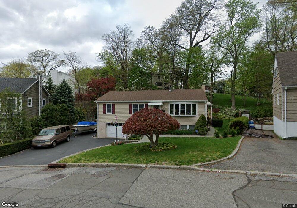
52 Lincoln Ave Ossining, NY 10562
Estimated Value: $557,857 - $631,000
About This Home
This home is located at 52 Lincoln Ave, Ossining, NY 10562 and is currently estimated at $586,964, approximately $548 per square foot. 52 Lincoln Ave is a home located in Westchester County with nearby schools including Park School, Roosevelt Elementary School, and Brookside Elementary School.
Ownership History
We collect this data history from publicly available records. To have your information removed, we recommend requesting removal directly through your county’s website.
Purchase Details
Purchase Details
Purchase Details
Home Values in the Area
Average Home Value in this Area
Purchase History
We collect this data history from publicly available records. To have your information removed, we recommend requesting removal directly through your county’s website.
| Date | Buyer | Sale Price | Title Company |
|---|---|---|---|
| -- | Judicial Title | ||
| -- | None Available | ||
| $255,000 | Commonwealth Land Title Ins |
Tax History
We collect this data history from publicly available records. To have your information removed, we recommend requesting removal directly through your county’s website.
| Year | Tax Paid | Tax Assessment Tax Assessment Total Assessment is a certain percentage of the fair market value that is determined by local assessors to be the total taxable value of land and additions on the property. | Land | Improvement |
|---|---|---|---|---|
| 2025 | $11,142 | $457,600 | $255,300 | $202,300 |
| 2024 | $8,779 | $422,800 | $156,300 | $266,500 |
| 2023 | $8,390 | $398,300 | $156,300 | $242,000 |
| 2022 | $8,262 | $365,600 | $156,300 | $209,300 |
| 2021 | $6,725 | $326,500 | $156,300 | $170,200 |
| 2020 | $8,011 | $326,500 | $156,300 | $170,200 |
| 2019 | $7,553 | $306,700 | $156,300 | $150,400 |
| 2018 | $7,789 | $306,700 | $156,300 | $150,400 |
| 2017 | $1,444 | $300,800 | $156,300 | $144,500 |
| 2016 | $44,583 | $295,000 | $156,300 | $138,700 |
| 2015 | $7,221 | $16,800 | $4,100 | $12,700 |
| 2014 | $7,221 | $16,800 | $4,100 | $12,700 |
| 2013 | $7,221 | $16,800 | $4,100 | $12,700 |
Map
- 42 Lee Ave
- 7 Hawkes Ave
- 18 2nd Ave
- 55 Sherwood Ave
- 19 Forest Ave
- 15 Marshall Place
- 42 Campwoods Grounds
- 16 Sherwood Ave
- 22 Quail Hollow Rd
- 10 Stone Ave
- 76 Hawkes Ave
- 22 Oakbrook Rd
- 1 Thornton Hill
- 128 Croton Ave
- 126 Croton Ave
- 119 Croton Ave
- 32 Terrace Ave
- 86 Woods Brooke Terrace
- 53 Pleasantville Rd
- 41 Clinton Ave
- 50 Lincoln Ave
- 10B Croton Dam Rd
- 10A Croton Dam Rd
- 10 Croton Dam Rd
- 48 Lincoln Ave
- 56 Lincoln Ave
- 47 Lincoln Ave
- 46 Lincoln Ave
- 49 Lincoln Ave
- 8A Croton Dam Rd
- 41 Lee Ave
- 8 Croton Dam Rd
- 58 Lincoln Ave
- 45 Lincoln Ave
- 44 Lincoln Ave
- 12 Croton Dam Rd
- 51 Lincoln Ave
- 43 Lee Ave
- 43 Lincoln Ave
- 55 Lincoln Ave
Ask me questions while you tour the home.