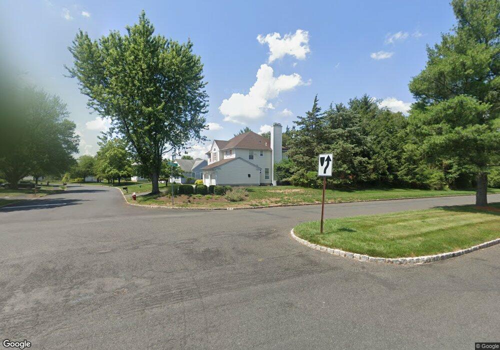
52 Mohawk Trail Branchburg, NJ 08876
Estimated Value: $745,000 - $863,000
Studio
--
Bath
2,380
Sq Ft
$336/Sq Ft
Est. Value
About This Home
This home is located at 52 Mohawk Trail, Branchburg, NJ 08876 and is currently estimated at $799,975, approximately $336 per square foot. 52 Mohawk Trail is a home located in Somerset County with nearby schools including Whiton Elementary School, Stony Brook School, and Branchburg Central Middle School.
Ownership History
Date
Name
Owned For
Owner Type
Purchase Details
Closed on
Oct 25, 2001
Sold by
Mcrae Fred
Bought by
Adusei George and Adusei Comfort
Current Estimated Value
Home Financials for this Owner
Home Financials are based on the most recent Mortgage that was taken out on this home.
Original Mortgage
$321,500
Outstanding Balance
$125,195
Interest Rate
6.67%
Estimated Equity
$674,780
Purchase Details
Closed on
Jul 26, 1996
Sold by
Delouis Ralph
Bought by
Mcrae Fred and Mcrae Karen
Home Financials for this Owner
Home Financials are based on the most recent Mortgage that was taken out on this home.
Original Mortgage
$200,000
Interest Rate
8.37%
Purchase Details
Closed on
Jan 30, 1989
Sold by
Felicia Corporation
Bought by
Delouis Ralph and Delouis Sandra
Create a Home Valuation Report for This Property
The Home Valuation Report is an in-depth analysis detailing your home's value as well as a comparison with similar homes in the area
Home Values in the Area
Average Home Value in this Area
Purchase History
We collect this data history from publicly available records. To have your information removed, we recommend requesting removal directly through your county’s website.
| Date | Buyer | Sale Price | Title Company |
|---|---|---|---|
| Adusei George | $402,000 | -- | |
| Mcrae Fred | $285,000 | -- | |
| Delouis Ralph | $285,500 | -- |
Source: Public Records
Mortgage History
We collect this data history from publicly available records. To have your information removed, we recommend requesting removal directly through your county’s website.
| Date | Status | Borrower | Loan Amount |
|---|---|---|---|
| Open | Adusei George | $321,500 | |
| Previous Owner | Mcrae Fred | $200,000 |
Source: Public Records
Tax History
| Year | Tax Paid | Tax Assessment Tax Assessment Total Assessment is a certain percentage of the fair market value that is determined by local assessors to be the total taxable value of land and additions on the property. | Land | Improvement |
|---|---|---|---|---|
| 2025 | $10,981 | $675,200 | $164,700 | $510,500 |
| 2024 | $10,981 | $608,700 | $164,700 | $444,000 |
| 2023 | $10,597 | $566,400 | $164,700 | $401,700 |
| 2022 | $10,361 | $526,200 | $164,700 | $361,500 |
| 2021 | $10,420 | $492,900 | $154,700 | $338,200 |
| 2020 | $10,222 | $477,000 | $154,700 | $322,300 |
| 2019 | $10,077 | $467,600 | $154,700 | $312,900 |
| 2018 | $9,967 | $461,200 | $148,700 | $312,500 |
| 2017 | $9,892 | $454,600 | $142,700 | $311,900 |
| 2016 | $9,805 | $447,700 | $131,700 | $316,000 |
| 2015 | $9,612 | $439,700 | $131,700 | $308,000 |
| 2014 | $9,368 | $433,700 | $124,200 | $309,500 |
Source: Public Records
Map
Nearby Homes
- 12 Buffalo Hollow Rd
- 7 Munsee Trail
- 18 Laurel Ct
- 200 Harlan School Rd
- 6 Shoshoni Way
- 68 Susquehanna Trail
- 91 Delaware Ln
- 166 Preakness Cir
- 8 Delaware Ln
- 428 Azalea Terrace
- 52 Country Squire Way
- 11 Strawberry Hill Rd
- 204 Red Crest La Unit 204
- 59 Station Rd
- 316 Red Crest Ln
- 808 Breckenridge Dr
- 1514 Longley Ct
- 18 Weavers Ln
- 3366 Us Highway 22
- 333 River Rd
- 50 Mohawk Trail
- 51 Mohawk Trail
- 49 Mohawk Trail
- 7 Lenape Trail
- 5 Lenape Trail
- 56 Yuma Trail
- 47 Mohawk Trail
- 9 Lenape Trail
- 11 Lenape Trail
- 6 Cherokee Path
- 45 Mohawk Trail
- 6 Lenape Trail
- 4 Cherokee Path
- 8 Lenape Trail
- 4 Lenape Trail
- 2 Lenape Trail
- 60 Yuma Trail
- 10 Lenape Trail
- 8 Cherokee Path
- 1 D Angelo Dr
Your Personal Tour Guide
Ask me questions while you tour the home.