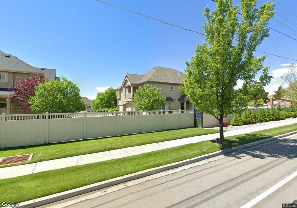
52 S 930 E American Fork, UT 84003
Estimated Value: $442,000 - $476,000
3
Beds
4
Baths
2,450
Sq Ft
$187/Sq Ft
Est. Value
About This Home
This home is located at 52 S 930 E, American Fork, UT 84003 and is currently estimated at $459,115, approximately $187 per square foot. 52 S 930 E is a home located in Utah County with nearby schools including Barratt Elementary School, American Fork Junior High School, and American Fork High School.
Ownership History
Date
Name
Owned For
Owner Type
Purchase Details
Closed on
Apr 29, 2022
Sold by
Anne Marlowe Trust
Bought by
David B Paxman Living Trust
Current Estimated Value
Purchase Details
Closed on
Oct 25, 2012
Sold by
Marlowe Eva Anne
Bought by
Marlowe Anne
Purchase Details
Closed on
Aug 7, 2007
Sold by
Haymaker Retreat Llc
Bought by
Marlowe Eva Anne
Create a Home Valuation Report for This Property
The Home Valuation Report is an in-depth analysis detailing your home's value as well as a comparison with similar homes in the area
Home Values in the Area
Average Home Value in this Area
Purchase History
| Date | Buyer | Sale Price | Title Company |
|---|---|---|---|
| David B Paxman Living Trust | -- | New Title Company Name | |
| Marlowe Anne | -- | None Available | |
| Marlowe Eva Anne | -- | Utah First Title Insurance |
Source: Public Records
Tax History
| Year | Tax Paid | Tax Assessment Tax Assessment Total Assessment is a certain percentage of the fair market value that is determined by local assessors to be the total taxable value of land and additions on the property. | Land | Improvement |
|---|---|---|---|---|
| 2025 | $2,179 | $230,505 | -- | -- |
| 2024 | $1,916 | $242,110 | $0 | $0 |
| 2023 | $1,916 | $225,665 | $0 | $0 |
| 2022 | $1,964 | $228,360 | $0 | $0 |
| 2021 | $1,890 | $343,200 | $41,200 | $302,000 |
| 2020 | $1,735 | $305,500 | $36,700 | $268,800 |
| 2019 | $1,597 | $290,900 | $34,600 | $256,300 |
| 2018 | $1,344 | $234,000 | $28,100 | $205,900 |
| 2017 | $1,328 | $124,850 | $0 | $0 |
| 2016 | $1,323 | $115,500 | $0 | $0 |
| 2015 | $1,347 | $111,650 | $0 | $0 |
| 2014 | $1,137 | $92,950 | $0 | $0 |
Source: Public Records
Map
Nearby Homes
Your Personal Tour Guide
Ask me questions while you tour the home.