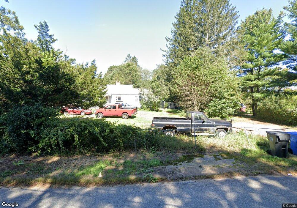
52 Varga Rd Ashford, CT 06278
Estimated Value: $170,000 - $253,000
2
Beds
1
Bath
1,035
Sq Ft
$204/Sq Ft
Est. Value
About This Home
This home is located at 52 Varga Rd, Ashford, CT 06278 and is currently estimated at $210,991, approximately $203 per square foot. 52 Varga Rd is a home located in Windham County with nearby schools including Ashford School and E.O. Smith High School.
Ownership History
Date
Name
Owned For
Owner Type
Purchase Details
Closed on
Jul 27, 2005
Sold by
Kauffman Mary G
Bought by
Gilbert Cindy
Current Estimated Value
Home Financials for this Owner
Home Financials are based on the most recent Mortgage that was taken out on this home.
Original Mortgage
$82,120
Interest Rate
5.67%
Purchase Details
Closed on
Aug 11, 2003
Sold by
Infante Frank
Bought by
Kauffman Mary
Purchase Details
Closed on
Mar 16, 1988
Sold by
Gagan Gary L
Bought by
Infanstie Frank
Create a Home Valuation Report for This Property
The Home Valuation Report is an in-depth analysis detailing your home's value as well as a comparison with similar homes in the area
Home Values in the Area
Average Home Value in this Area
Purchase History
| Date | Buyer | Sale Price | Title Company |
|---|---|---|---|
| Gilbert Cindy | $102,650 | -- | |
| Gilbert Cindy | $102,650 | -- | |
| Kauffman Mary | $45,950 | -- | |
| Kauffman Mary | $45,950 | -- | |
| Infanstie Frank | $55,000 | -- |
Source: Public Records
Mortgage History
| Date | Status | Borrower | Loan Amount |
|---|---|---|---|
| Open | Infanstie Frank | $135,000 | |
| Closed | Infanstie Frank | $82,120 | |
| Closed | Infanstie Frank | $20,530 |
Source: Public Records
Tax History
| Year | Tax Paid | Tax Assessment Tax Assessment Total Assessment is a certain percentage of the fair market value that is determined by local assessors to be the total taxable value of land and additions on the property. | Land | Improvement |
|---|---|---|---|---|
| 2025 | $2,974 | $81,760 | $21,280 | $60,480 |
| 2024 | $2,809 | $81,760 | $21,280 | $60,480 |
| 2023 | $2,705 | $81,760 | $21,280 | $60,480 |
| 2022 | $2,638 | $81,760 | $21,280 | $60,480 |
| 2021 | $2,539 | $69,800 | $21,400 | $48,400 |
| 2020 | $2,571 | $69,800 | $21,400 | $48,400 |
| 2019 | $2,475 | $69,800 | $21,400 | $48,400 |
| 2018 | $2,427 | $69,800 | $21,400 | $48,400 |
| 2017 | $2,399 | $69,800 | $21,400 | $48,400 |
| 2016 | $2,289 | $70,700 | $25,600 | $45,100 |
| 2015 | $2,330 | $70,700 | $25,600 | $45,100 |
| 2014 | $2,274 | $70,700 | $25,600 | $45,100 |
Source: Public Records
Map
Nearby Homes
- 153 Mansfield Rd
- 0 Bebbington Rd
- 159 Nott Hwy
- 102 Krapf Rd
- 0 Summit Rd
- 133 Fitts Rd
- 214 James Rd
- 173 Westford Hill Rd
- 187 Chaplin Rd
- 368 Warrenville Rd
- 113 Hanks Hill Rd
- 69 N Bedlam Rd
- 81 Floeting Rd
- 21 Westview Dr
- 292 Tolland Turnpike
- 934 Storrs Rd
- 668 Middle Turnpike
- 0 Jared Sparks Rd
- 404 Bassetts Bridge Rd
- 69 Cisar Rd
Your Personal Tour Guide
Ask me questions while you tour the home.