520 Brook Cir Unit 2 Roswell, GA 30075
Roswell AreaEstimated Value: $892,000 - $1,053,000
About This Home
This home is located at 520 Brook Cir Unit 2, Roswell, GA 30075 and is currently estimated at $966,211, approximately $285 per square foot. 520 Brook Cir Unit 2 is a home located in Fulton County with nearby schools including Sweet Apple Elementary School, Elkins Pointe Middle School, and Milton High School.
Ownership History
We collect this data history from publicly available records. To have your information removed, we recommend requesting removal directly through your county’s website.
Purchase Details
Home Values in the Area
Average Home Value in this Area
Purchase History
We collect this data history from publicly available records. To have your information removed, we recommend requesting removal directly through your county’s website.
| Date | Buyer | Sale Price | Title Company |
|---|---|---|---|
| $265,000 | -- |
Tax History
We collect this data history from publicly available records. To have your information removed, we recommend requesting removal directly through your county’s website.
| Year | Tax Paid | Tax Assessment Tax Assessment Total Assessment is a certain percentage of the fair market value that is determined by local assessors to be the total taxable value of land and additions on the property. | Land | Improvement |
|---|---|---|---|---|
| 2025 | $5,043 | $339,720 | $101,080 | $238,640 |
| 2023 | $6,210 | $220,000 | $58,920 | $161,080 |
| 2022 | $4,946 | $220,000 | $58,920 | $161,080 |
| 2021 | $947 | $236,160 | $58,920 | $177,240 |
| 2020 | $5,979 | $205,720 | $39,920 | $165,800 |
| 2019 | $988 | $202,080 | $39,200 | $162,880 |
| 2018 | $5,320 | $222,600 | $55,840 | $166,760 |
| 2017 | $4,889 | $191,240 | $39,640 | $151,600 |
| 2016 | $4,866 | $191,240 | $39,640 | $151,600 |
| 2015 | $5,927 | $191,240 | $39,640 | $151,600 |
| 2014 | $5,030 | $191,240 | $39,640 | $151,600 |
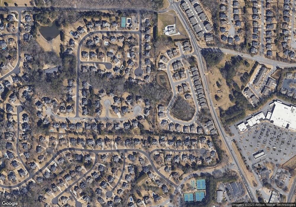
Map
- 117 Quinn Way
- 137 Quinn Way
- 666 Abbey Ct
- 640 Garden Wilde Place
- 965 Knoll Crest Ct Unit 4
- 365 Cagle Rd
- 2102 Sweet Apple Cir Unit 2102
- 12315 Asbury Park Dr
- 210 Chatfield Place
- 550 Arbor North Way
- 1045 Etris Manor Dr
- 212 Lask Ln
- 12815 Morningpark Cir
- 215 Mamie Ct
- 580 Arbor North Way
- 105 Kensington Pond Ct
- 257 Lask Ln
- 12505 King Rd
- 385 Carybell Ln
- 272 Lask Ln
- 510 Brook Cir Unit 2
- 1070 Birchdale Dr
- 530 Brook Cir
- 1080 Birchdale Dr
- 580 Summerhill Dr
- 570 Summerhill Dr
- 525 Brook Cir Unit 46
- 525 Brook Cir
- 525 Brook Cir
- 500 Brook Cir
- 490 Brook Cir Unit 2
- 1090 Birchdale Dr
- 575 Summerhill Dr Unit 1
- 515 Brook Cir Unit 2
- 1045 Birchdale Dr
- 2000 Birchdale Dr
- 560 Summerhill Dr Unit 1
- 115 Babcock Ct
- 505 Brook Cir Unit 2
- 480 Brook Cir
Ask me questions while you tour the home.