Estimated Value: $337,000 - $564,014
About This Home
This home is located at 520 E Circle Dr Unit B, Dover, PA 17315 and is currently estimated at $482,254, approximately $315 per square foot. 520 E Circle Dr Unit B is a home located in York County with nearby schools including Dover Area High School.
Ownership History
We collect this data history from publicly available records. To have your information removed, we recommend requesting removal directly through your county’s website.
Purchase Details
Home Financials for this Owner
Home Financials are based on the most recent Mortgage that was taken out on this home.Purchase Details
Home Financials for this Owner
Home Financials are based on the most recent Mortgage that was taken out on this home.Purchase Details
Home Financials for this Owner
Home Financials are based on the most recent Mortgage that was taken out on this home.Purchase Details
Purchase Details
Home Financials for this Owner
Home Financials are based on the most recent Mortgage that was taken out on this home.Purchase Details
Home Financials for this Owner
Home Financials are based on the most recent Mortgage that was taken out on this home.Home Values in the Area
Average Home Value in this Area
Purchase History
We collect this data history from publicly available records. To have your information removed, we recommend requesting removal directly through your county’s website.
| Date | Buyer | Sale Price | Title Company |
|---|---|---|---|
| $550,000 | Keystone Title Services | ||
| $326,750 | None Available | ||
| -- | None Available | ||
| -- | None Available | ||
| $315,000 | None Available | ||
| $295,000 | First American Title Ins Co |
Mortgage History
We collect this data history from publicly available records. To have your information removed, we recommend requesting removal directly through your county’s website.
| Date | Status | Borrower | Loan Amount |
|---|---|---|---|
| Open | $500,000 | ||
| Previous Owner | $337,532 | ||
| Previous Owner | $166,167 | ||
| Previous Owner | $172,000 | ||
| Previous Owner | $304,700 |
Tax History
We collect this data history from publicly available records. To have your information removed, we recommend requesting removal directly through your county’s website.
| Year | Tax Paid | Tax Assessment Tax Assessment Total Assessment is a certain percentage of the fair market value that is determined by local assessors to be the total taxable value of land and additions on the property. | Land | Improvement |
|---|---|---|---|---|
| 2026 | $3,321 | $99,250 | $2,760 | $96,490 |
| 2025 | $3,001 | $91,480 | $2,760 | $88,720 |
| 2024 | $2,974 | $91,480 | $2,760 | $88,720 |
| 2023 | $2,974 | $91,480 | $2,760 | $88,720 |
| 2022 | $2,920 | $91,480 | $2,760 | $88,720 |
| 2021 | $2,755 | $91,480 | $2,760 | $88,720 |
| 2020 | $2,730 | $91,480 | $2,760 | $88,720 |
| 2019 | $2,696 | $91,480 | $2,760 | $88,720 |
| 2018 | $2,629 | $91,480 | $2,760 | $88,720 |
| 2017 | $2,629 | $91,480 | $2,760 | $88,720 |
| 2016 | $0 | $91,480 | $2,760 | $88,720 |
| 2015 | -- | $91,300 | $2,580 | $88,720 |
| 2014 | -- | $91,320 | $2,600 | $88,720 |
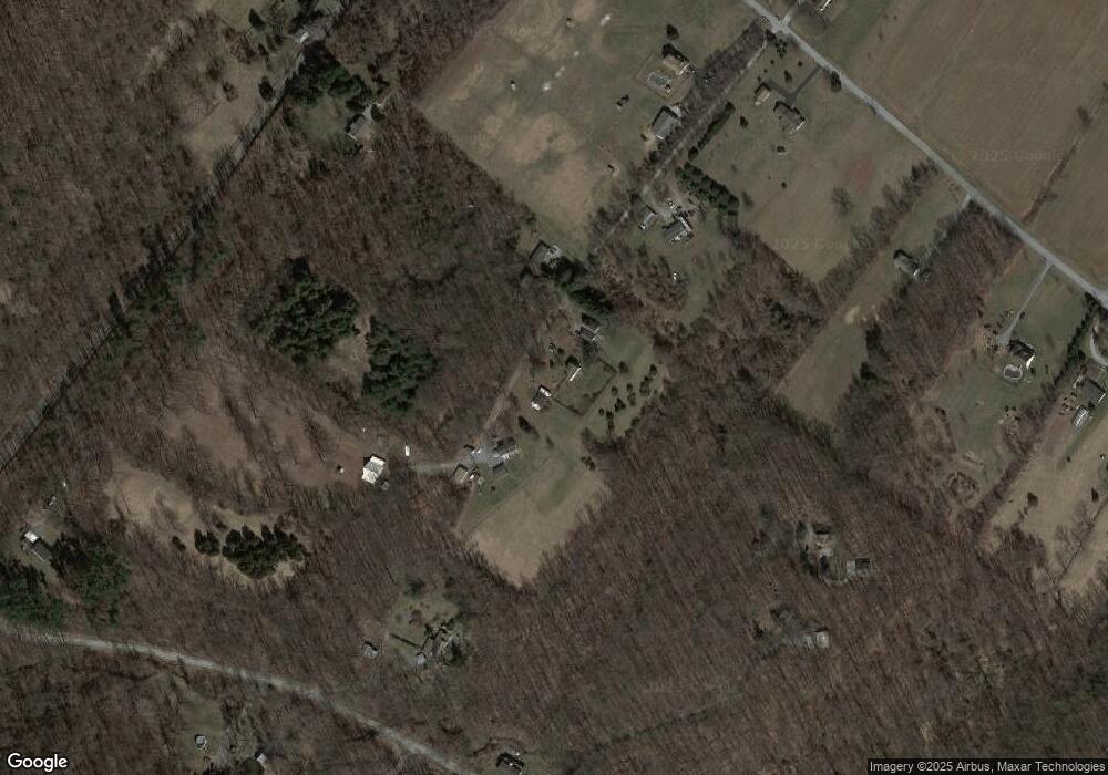
Map
- 911 N Circle Dr
- 351 Kunkle Mill Rd
- 381 Rohlers Church Rd
- 5995 Bull Rd
- 2285 Bremer Rd
- 5390 Nursery Rd
- 2385 Bremer Rd
- 525 Andersontown Rd
- 6200 Old Carlisle Rd
- 4550 Bull Rd Unit 27
- 4550 Bull Rd Unit 77
- 1305 Bremer Rd
- 1100 Butter Rd
- 120 Buttercup Ln
- 465 Mount Airy Rd
- 670 Zeigler Rd
- 2360 Mill Creek Rd
- 219 E Butter Rd
- 2001 Red Bank Rd Unit TRLR 407
- 2001 Red Bank Rd Unit 509
- 520 E Circle Dr
- 520 B E Circle Dr
- 520 E Circle Dr
- 520 E Circle Dr
- 6525 Crone Rd
- 514 E Circle Dr
- 1121 Rohlers Church Rd
- 6451 Crone Rd
- 6461 Crone Rd
- 6491 Crone Rd
- 1120 Rohlers Church Rd
- 590 E Circle Dr
- 500 E Circle Dr
- 1107 Conewago Rd
- 1107 Conewago Rd
- 6441 Crone Rd
- 1101 Conewago Rd
- 450 E Circle Dr
- 1101 Rohlers Church Rd
- 951 Conewago Rd
Ask me questions while you tour the home.