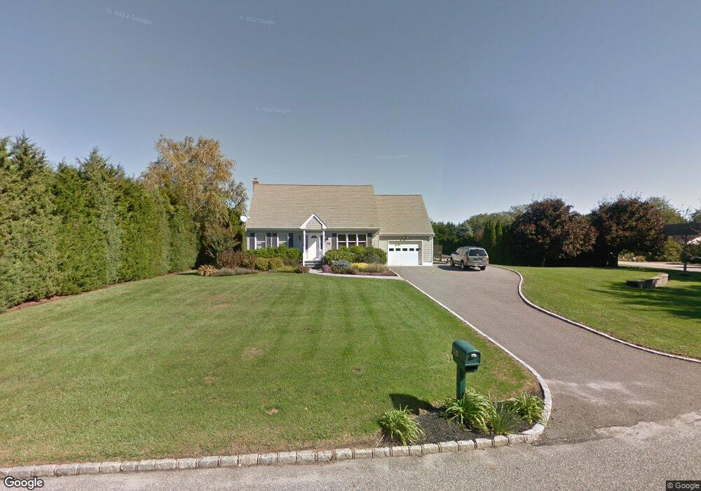
520 Gabriella Ct Mattituck, NY 11952
Estimated Value: $833,399 - $1,158,000
Studio
--
Bath
--
Sq Ft
40,075
Sq Ft Lot
About This Home
This home is located at 520 Gabriella Ct, Mattituck, NY 11952 and is currently estimated at $982,850. 520 Gabriella Ct is a home located in Suffolk County with nearby schools including Mattituck-Cutchogue Elementary School, Mattituck Junior/Senior High School, and Peconic Community School.
Ownership History
Date
Name
Owned For
Owner Type
Purchase Details
Closed on
Jan 3, 2003
Sold by
Lepre Steven and Lepre Tracy
Bought by
Bopp Robert S
Current Estimated Value
Home Financials for this Owner
Home Financials are based on the most recent Mortgage that was taken out on this home.
Original Mortgage
$231,000
Outstanding Balance
$99,193
Interest Rate
6.11%
Estimated Equity
$883,657
Purchase Details
Closed on
Oct 7, 1997
Sold by
E L E Development Corp
Bought by
Lepre Steven and Lepre Tracy
Create a Home Valuation Report for This Property
The Home Valuation Report is an in-depth analysis detailing your home's value as well as a comparison with similar homes in the area
Home Values in the Area
Average Home Value in this Area
Purchase History
| Date | Buyer | Sale Price | Title Company |
|---|---|---|---|
| Bopp Robert S | $289,000 | -- | |
| Lepre Steven | -- | First American Title Ins Co |
Source: Public Records
Mortgage History
| Date | Status | Borrower | Loan Amount |
|---|---|---|---|
| Open | Bopp Robert S | $231,000 |
Source: Public Records
Tax History
| Year | Tax Paid | Tax Assessment Tax Assessment Total Assessment is a certain percentage of the fair market value that is determined by local assessors to be the total taxable value of land and additions on the property. | Land | Improvement |
|---|---|---|---|---|
| 2022 | $7,038 | $5,000 | $1,500 | $3,500 |
| 2021 | $6,829 | $5,000 | $1,500 | $3,500 |
| 2020 | $6,734 | $5,000 | $1,500 | $3,500 |
| 2019 | $6,734 | $0 | $0 | $0 |
Source: Public Records
Map
Nearby Homes
- 955 Blossom Bend
- 955 Deep Hole Dr
- 2280 Deep Hole Dr
- 23900 Main Rd
- 24635 Main Rd
- 10100 New Suffolk Ave
- 15690 County Road 48
- 540 Conklin Rd
- 16400 County Road 48
- 1450 Wickham Ave
- 13100 Main Rd
- 385 New Suffolk Ave
- 2340 Fairway Dr
- 17525 County Road 48
- 2600 Oregon Rd
- 1050 Greton Ct
- 780 Westview Dr
- 3000 Grand Ave
- 18365 County Road 48
- 4415 Camp Mineola Rd
Your Personal Tour Guide
Ask me questions while you tour the home.