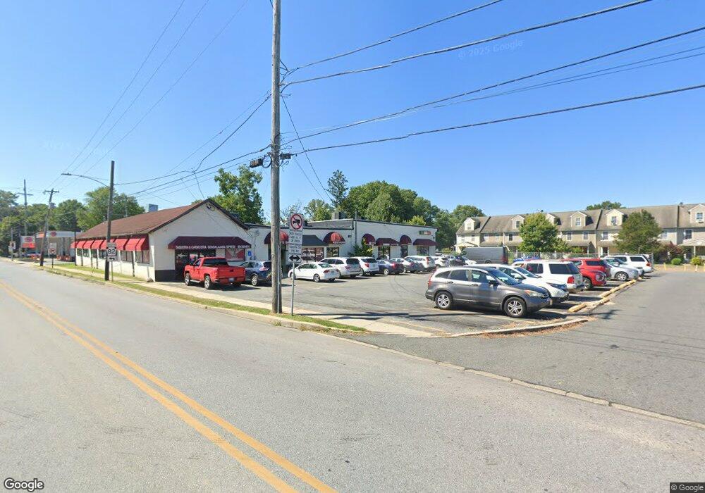
520 S Union St Unit A Kennett Square, PA 19348
Estimated Value: $1,622,039
Studio
--
Bath
13,556
Sq Ft
$120/Sq Ft
Est. Value
About This Home
This home is located at 520 S Union St Unit A, Kennett Square, PA 19348 and is currently estimated at $1,622,039, approximately $119 per square foot. 520 S Union St Unit A is a home located in Chester County with nearby schools including Kennett Middle School, Kennett High School, and St. Patrick School.
Ownership History
Date
Name
Owned For
Owner Type
Purchase Details
Closed on
Mar 30, 2004
Sold by
Alliance For Better Housing Inc
Bought by
Bautista Ralph and Bautista Rafael E
Current Estimated Value
Home Financials for this Owner
Home Financials are based on the most recent Mortgage that was taken out on this home.
Original Mortgage
$276,000
Outstanding Balance
$129,157
Interest Rate
5.58%
Mortgage Type
Commercial
Estimated Equity
$1,492,882
Purchase Details
Closed on
Mar 13, 2002
Sold by
Silverstein Sheldon and Silverstein Marlene
Bought by
Alliance For Better Housing
Home Financials for this Owner
Home Financials are based on the most recent Mortgage that was taken out on this home.
Original Mortgage
$574,600
Interest Rate
6.91%
Mortgage Type
Commercial
Create a Home Valuation Report for This Property
The Home Valuation Report is an in-depth analysis detailing your home's value as well as a comparison with similar homes in the area
Home Values in the Area
Average Home Value in this Area
Purchase History
| Date | Buyer | Sale Price | Title Company |
|---|---|---|---|
| Bautista Ralph | $260,000 | -- | |
| Alliance For Better Housing | $650,000 | Fidelity National Title Ins |
Source: Public Records
Mortgage History
| Date | Status | Borrower | Loan Amount |
|---|---|---|---|
| Open | Bautista Ralph | $276,000 | |
| Previous Owner | Alliance For Better Housing | $574,600 |
Source: Public Records
Tax History
| Year | Tax Paid | Tax Assessment Tax Assessment Total Assessment is a certain percentage of the fair market value that is determined by local assessors to be the total taxable value of land and additions on the property. | Land | Improvement |
|---|---|---|---|---|
| 2025 | $13,385 | $274,690 | $41,040 | $233,650 |
| 2024 | $13,385 | $274,690 | $41,040 | $233,650 |
| 2023 | $12,975 | $274,690 | $41,040 | $233,650 |
| 2022 | $11,859 | $274,690 | $41,040 | $233,650 |
| 2021 | $11,753 | $274,690 | $41,040 | $233,650 |
| 2020 | $11,556 | $274,690 | $41,040 | $233,650 |
| 2019 | $11,418 | $274,690 | $41,040 | $233,650 |
| 2018 | $11,152 | $274,690 | $41,040 | $233,650 |
| 2017 | $10,977 | $274,690 | $41,040 | $233,650 |
| 2016 | $1,089 | $274,690 | $41,040 | $233,650 |
| 2015 | $1,089 | $274,690 | $41,040 | $233,650 |
| 2014 | $1,089 | $274,690 | $41,040 | $233,650 |
Source: Public Records
Map
Nearby Homes
- 118 Austin Dr
- 126 Austin Dr
- 107 W State St
- 1007 James Walter Way
- 502 Ridge Ave
- 607 W Mulberry St
- 509 D St
- 619 W Mulberry St
- 602 D St
- 629 W Mulberry St
- 621 Magnolia Ct
- 631 Magnolia Ct
- 1261 Benjamin Dr
- 612 Ridge Ave
- 1212 Benjamin Dr
- 109 Chandler Mill Rd
- 115 Chandler Mill Rd
- 117 Chandler Mill Rd
- 530 Richards Rd
- 114 Chandler Mill Rd
- 530 S Union St
- 532 Las Rosas Dr
- 530 Las Rosas Dr
- 534 Las Rosas Dr
- 528 Las Rosas Dr
- 526 Las Rosas Dr
- 524 Las Rosas Dr
- 113 W South St
- 522 Las Rosas Dr
- 536 S Union St
- 520 Las Rosas Dr
- 115 W South St
- 514 Las Rosas Dr
- 117 W South St
- 512 Las Rosas Dr
- 510 Las Rosas Dr
- 508 Las Rosas Dr
- 119 W South St
- 506 S Union St
- 506 Las Rosas Dr
Your Personal Tour Guide
Ask me questions while you tour the home.