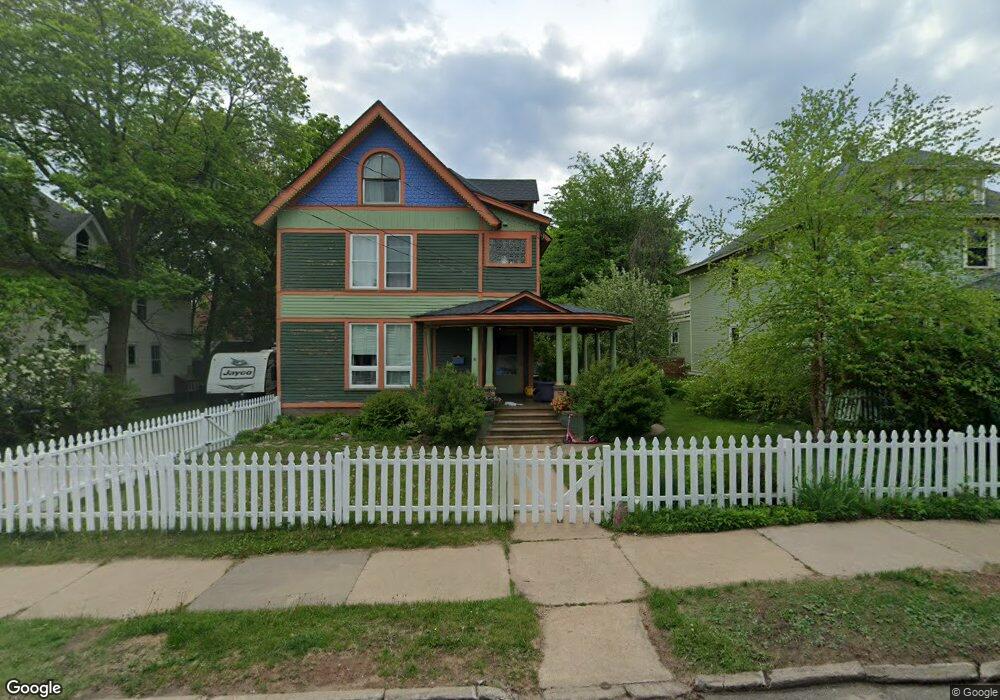
520 Spruce St Marquette, MI 49855
Estimated Value: $427,000 - $620,000
5
Beds
2
Baths
2,426
Sq Ft
$217/Sq Ft
Est. Value
About This Home
This home is located at 520 Spruce St, Marquette, MI 49855 and is currently estimated at $526,801, approximately $217 per square foot. 520 Spruce St is a home located in Marquette County with nearby schools including Graveraet Elementary School, Bothwell Middle School, and Marquette Senior High School.
Ownership History
Date
Name
Owned For
Owner Type
Purchase Details
Closed on
Jun 15, 2021
Sold by
Addison James R and Addison Sheryl A
Bought by
Gobert Christopher J and Gobert Casey L
Current Estimated Value
Home Financials for this Owner
Home Financials are based on the most recent Mortgage that was taken out on this home.
Original Mortgage
$280,000
Outstanding Balance
$253,505
Interest Rate
2.9%
Mortgage Type
New Conventional
Estimated Equity
$273,296
Purchase Details
Closed on
Jul 1, 1991
Bought by
Addison James and Addison Sheryl
Create a Home Valuation Report for This Property
The Home Valuation Report is an in-depth analysis detailing your home's value as well as a comparison with similar homes in the area
Home Values in the Area
Average Home Value in this Area
Purchase History
| Date | Buyer | Sale Price | Title Company |
|---|---|---|---|
| Gobert Christopher J | $350,000 | Odea Nordeen And Pickens Pc | |
| Addison James | $83,000 | -- |
Source: Public Records
Mortgage History
| Date | Status | Borrower | Loan Amount |
|---|---|---|---|
| Open | Gobert Christopher J | $280,000 |
Source: Public Records
Tax History
| Year | Tax Paid | Tax Assessment Tax Assessment Total Assessment is a certain percentage of the fair market value that is determined by local assessors to be the total taxable value of land and additions on the property. | Land | Improvement |
|---|---|---|---|---|
| 2025 | $6,616 | $222,900 | $0 | $0 |
| 2024 | $65 | $201,100 | $0 | $0 |
| 2023 | $6,143 | $179,500 | $0 | $0 |
| 2022 | $5,995 | $133,600 | $0 | $0 |
| 2021 | $2,564 | $153,300 | $0 | $0 |
| 2020 | $2,529 | $133,600 | $0 | $0 |
| 2019 | $2,661 | $137,000 | $0 | $0 |
| 2018 | $2,440 | $132,500 | $0 | $0 |
| 2017 | $171 | $131,900 | $0 | $0 |
| 2016 | $2,534 | $114,100 | $0 | $0 |
| 2015 | -- | $114,100 | $0 | $0 |
| 2014 | -- | $113,400 | $0 | $0 |
| 2012 | -- | $112,000 | $0 | $0 |
Source: Public Records
Map
Nearby Homes
- 321 E Michigan St
- 343 E Ridge St
- 322 E Ridge St
- 127 E Hewitt Ave
- 206 E Ridge St
- 233 N Lakeshore Blvd
- 421 N Front St
- 321 N Front St
- 418 Albert St
- 323 N Front St
- 908 N 3rd St
- 776 S Lakeshore Blvd
- 115 E College Ave
- 311 S Lakeshore Blvd Unit 3
- 318 W Park St
- 328 W Magnetic St
- 539 W Spring St
- 2001 Wilson St
- 3409 Nuthatch Ln
- 217 Mesnard St
Your Personal Tour Guide
Ask me questions while you tour the home.