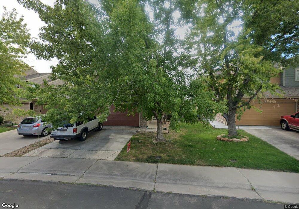
520 W 91st Cir Thornton, CO 80260
South Thornton NeighborhoodEstimated Value: $432,000 - $460,000
About This Home
This home is located at 520 W 91st Cir, Thornton, CO 80260 and is currently estimated at $443,667, approximately $211 per square foot. 520 W 91st Cir is a home located in Adams County with nearby schools including North Mor Elementary School, Northglenn Middle School, and Northglenn High School.
Ownership History
We collect this data history from publicly available records. To have your information removed, we recommend requesting removal directly through your county’s website.
Purchase Details
Home Financials for this Owner
Home Financials are based on the most recent Mortgage that was taken out on this home.Purchase Details
Home Financials for this Owner
Home Financials are based on the most recent Mortgage that was taken out on this home.Home Values in the Area
Average Home Value in this Area
Purchase History
We collect this data history from publicly available records. To have your information removed, we recommend requesting removal directly through your county’s website.
| Date | Buyer | Sale Price | Title Company |
|---|---|---|---|
| $180,000 | None Available | ||
| $138,054 | -- |
Mortgage History
We collect this data history from publicly available records. To have your information removed, we recommend requesting removal directly through your county’s website.
| Date | Status | Borrower | Loan Amount |
|---|---|---|---|
| Open | $1 | ||
| Open | $675,000 | ||
| Closed | $270,000 | ||
| Previous Owner | $10,100 | ||
| Previous Owner | $161,600 | ||
| Previous Owner | $25,000 | ||
| Previous Owner | $150,981 | ||
| Previous Owner | $137,117 |
Tax History
We collect this data history from publicly available records. To have your information removed, we recommend requesting removal directly through your county’s website.
| Year | Tax Paid | Tax Assessment Tax Assessment Total Assessment is a certain percentage of the fair market value that is determined by local assessors to be the total taxable value of land and additions on the property. | Land | Improvement |
|---|---|---|---|---|
| 2025 | $2,166 | $29,790 | $5,920 | $23,870 |
| 2024 | $2,166 | $27,380 | $5,440 | $21,940 |
| 2023 | $2,145 | $30,440 | $5,410 | $25,030 |
| 2022 | $1,893 | $23,370 | $4,380 | $18,990 |
| 2021 | $2,782 | $23,370 | $4,380 | $18,990 |
| 2020 | $2,636 | $22,590 | $4,500 | $18,090 |
| 2019 | $2,641 | $22,590 | $4,500 | $18,090 |
| 2018 | $2,193 | $18,200 | $1,580 | $16,620 |
| 2017 | $1,997 | $18,200 | $1,580 | $16,620 |
| 2016 | $1,715 | $15,200 | $1,750 | $13,450 |
| 2015 | $1,713 | $15,200 | $1,750 | $13,450 |
| 2014 | $1,353 | $11,670 | $1,750 | $9,920 |
Map
- 425 W 91st Cir
- 582 W 91st Dr
- 8910 Fox Dr Unit 15
- 9040 Gale Blvd Unit 2
- 8701 Huron St Unit 5-210
- 8701 Huron St Unit 9-212
- 8701 Huron St Unit 6-105
- 8701 Huron St Unit 1-210
- 9060 Gale Blvd Unit 2
- 9184 Gale Blvd Unit 1
- 9068 Gale Blvd Unit 1
- 9080 Gale Blvd Unit 3
- 8783 Santa fe Dr
- 1066 W 88th Ave
- 8763 Santa fe Dr Unit 8
- 1140 W 88th Ave Unit 53
- 9433 Lou Dr
- 9463 Lou Dr
- 8613 Santa fe Dr
- 8746 Mariposa St
Ask me questions while you tour the home.