52001 Fishpot Rd Clarington, OH 43915
Estimated Value: $52,000 - $106,000
2
Beds
1
Bath
936
Sq Ft
$86/Sq Ft
Est. Value
About This Home
This home is located at 52001 Fishpot Rd, Clarington, OH 43915 and is currently estimated at $80,363, approximately $85 per square foot. 52001 Fishpot Rd is a home located in Monroe County with nearby schools including Powhatan Elementary School and Beallsville High School.
Ownership History
Date
Name
Owned For
Owner Type
Purchase Details
Closed on
Aug 22, 2018
Sold by
Kaja Holdings 2 Llc
Bought by
Harrison Kenny S
Current Estimated Value
Purchase Details
Closed on
May 23, 2008
Sold by
Roberts Brenda and Roberts Sr. James M
Bought by
Snodgrass Carl J
Home Financials for this Owner
Home Financials are based on the most recent Mortgage that was taken out on this home.
Original Mortgage
$50,500
Interest Rate
5.87%
Purchase Details
Closed on
Sep 12, 2003
Bought by
Kaja Holsings 2 Llc
Purchase Details
Closed on
Jun 14, 1993
Bought by
Kaja Holsings 2 Llc
Create a Home Valuation Report for This Property
The Home Valuation Report is an in-depth analysis detailing your home's value as well as a comparison with similar homes in the area
Purchase History
We collect this data history from publicly available records. To have your information removed, we recommend requesting removal directly through your county’s website.
| Date | Buyer | Sale Price | Title Company |
|---|---|---|---|
| Harrison Kenny S | $12,000 | None Available | |
| Snodgrass Carl J | $45,000 | -- | |
| Kaja Holsings 2 Llc | -- | -- | |
| Kaja Holsings 2 Llc | -- | -- |
Source: Public Records
Mortgage History
We collect this data history from publicly available records. To have your information removed, we recommend requesting removal directly through your county’s website.
| Date | Status | Borrower | Loan Amount |
|---|---|---|---|
| Previous Owner | Snodgrass Carl J | $50,500 |
Source: Public Records
Tax History
| Year | Tax Paid | Tax Assessment Tax Assessment Total Assessment is a certain percentage of the fair market value that is determined by local assessors to be the total taxable value of land and additions on the property. | Land | Improvement |
|---|---|---|---|---|
| 2025 | $154 | $15,340 | $5,730 | $9,610 |
| 2024 | $125 | $13,910 | $5,210 | $8,700 |
| 2023 | $125 | $13,910 | $5,210 | $8,700 |
| 2022 | $147 | $13,910 | $5,210 | $8,700 |
| 2021 | $135 | $13,440 | $4,410 | $9,030 |
| 2020 | $397 | $13,440 | $4,410 | $9,030 |
| 2019 | $397 | $13,440 | $4,410 | $9,030 |
| 2018 | $574 | $12,290 | $3,680 | $8,610 |
| 2017 | $367 | $12,290 | $3,680 | $8,610 |
| 2016 | $373 | $12,290 | $3,680 | $8,610 |
| 2015 | $354 | $11,000 | $2,840 | $8,160 |
| 2014 | $354 | $11,000 | $2,840 | $8,160 |
| 2013 | $371 | $10,680 | $2,760 | $7,920 |
Source: Public Records
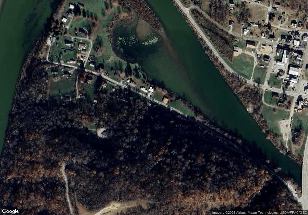
Map
Nearby Homes
- 111 Main St
- Lot 7 Country Blvd
- 50504 State Route 556
- 0 Country Boulevard Lot 2
- 42741 Long Ridge Rd
- 1239 Wren Dr
- 65 Steelton St
- 47 Oriole Dr
- 807 Highland Ave
- 805 James St
- 97 James Ln
- 46 Orchard Dr
- 61 Orchard Dr
- 170 Fairview Dr
- 0 Rines Ridge
- 601 James St
- 0 Country Boulevard Lot 7 Unit 5203154
- 0 Country Blvd Unit 5203133
- 506 Briarcliff Ct
- 2050 Newman Ridge
- 52019 Fishpot Rd
- 52027 Fishpot Rd
- 51965 Fishpot Rd
- 51962 Fishpot Rd
- 51959 Fishpot Rd
- 51940 Fishpot Rd
- 51933 Fishpot Rd
- 51930 Fishpot Rd
- 51918 Fishpot Rd
- 47043 Bloom St
- 51912 Fishpot Rd
- 51909 Fishpot Rd
- 47055 Bloom St
- 47048 Bloom St
- 51897 Fishpot Rd
- 231 Ferry St
- 336 Ferry St
- 47068 Bloom St
- 366 Ferry St
- 360 Ferry St
Your Personal Tour Guide
Ask me questions while you tour the home.