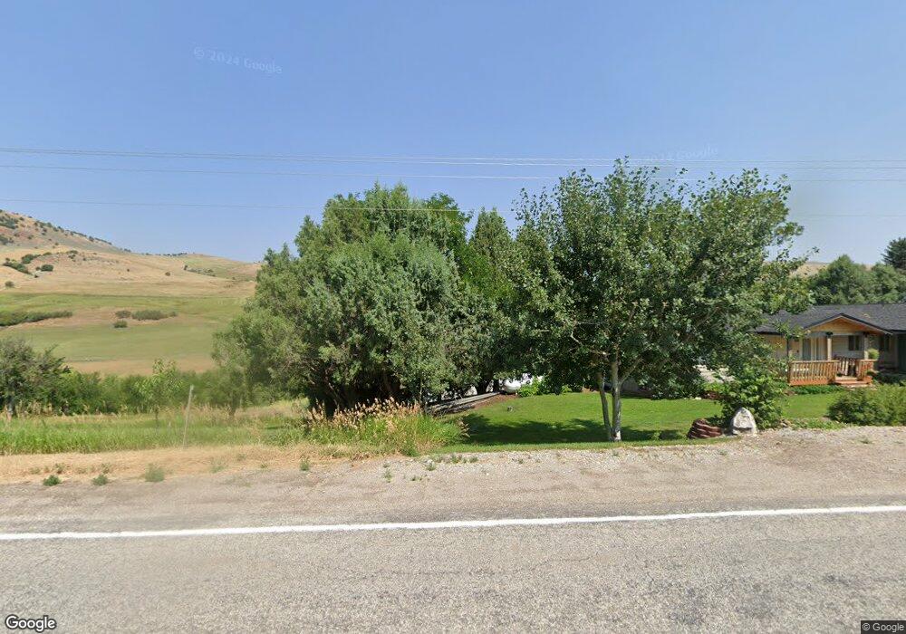
5207 E Highway 36 Preston, ID 83263
Estimated Value: $477,374 - $811,000
3
Beds
2
Baths
1,924
Sq Ft
$335/Sq Ft
Est. Value
About This Home
This home is located at 5207 E Highway 36, Preston, ID 83263 and is currently estimated at $644,844, approximately $335 per square foot. 5207 E Highway 36 is a home located in Franklin County with nearby schools including Oakwood Elementary School, Pioneer Elementary School, and Preston Junior High School.
Ownership History
Date
Name
Owned For
Owner Type
Purchase Details
Closed on
Mar 21, 2021
Sold by
Carlson Jonia Ann and Carlson Jonia
Bought by
Carlson Jonia A and Jbj Living Trust
Current Estimated Value
Purchase Details
Closed on
Apr 30, 2019
Sold by
Johnny M Iverson Family Lp Ltd
Bought by
Carlson Kenneth and Carlson Jonia
Home Financials for this Owner
Home Financials are based on the most recent Mortgage that was taken out on this home.
Original Mortgage
$208,550
Outstanding Balance
$182,980
Interest Rate
4.2%
Mortgage Type
New Conventional
Estimated Equity
$461,864
Create a Home Valuation Report for This Property
The Home Valuation Report is an in-depth analysis detailing your home's value as well as a comparison with similar homes in the area
Purchase History
| Date | Buyer | Sale Price | Title Company |
|---|---|---|---|
| Carlson Jonia A | -- | None Available | |
| Carlson Kenneth | -- | First American Title |
Source: Public Records
Mortgage History
| Date | Status | Borrower | Loan Amount |
|---|---|---|---|
| Open | Carlson Kenneth | $208,550 |
Source: Public Records
Tax History
| Year | Tax Paid | Tax Assessment Tax Assessment Total Assessment is a certain percentage of the fair market value that is determined by local assessors to be the total taxable value of land and additions on the property. | Land | Improvement |
|---|---|---|---|---|
| 2025 | $1,214 | $344,993 | $90,000 | $254,993 |
| 2024 | $1,317 | $348,174 | $90,000 | $258,174 |
| 2023 | $1,283 | $348,554 | $90,000 | $258,554 |
| 2022 | $1,393 | $299,681 | $51,000 | $248,681 |
| 2021 | $1,311 | $272,251 | $51,000 | $221,251 |
| 2019 | $1,220 | $201,794 | $51,000 | $150,794 |
Source: Public Records
Map
Nearby Homes
- 174 N 400 W
- 3020 Fords Bend
- 233 N 300 W
- 2200 W 470 N
- 7 Bear River Unit 7
- 5000 N 3500 W
- 1 N See Directions E
- 7203 E Cub Rd
- 2 See Directions
- 1000 W Mail Rte Rd N
- 1574 E 1800 S Unit 1
- 242 N 300 W
- 283 N 300 W
- 1225 S 600 W Unit 2
- 253 N 300 W
- 262 N 300 W
- 1524 E 1800 S Unit 2
- 2900 E 2600 N Unit 7
- 6746 N Capitol Hill Rd
- 3864 E Highway 36
- 5113 E Highway 36
- 5273 E Highway 36
- 5210 E Highway 36
- 5284 E Highway 36
- 0 Hwy 36 Unit 26353959
- 6644 E Cub Rd
- 2900 E 2600 N Unit 4 & 5
- 1524 E 1800 S
- 651 Fords Bend Unit 5
- 262 N 300 W Unit 4
- 2400 N 2800 E Unit 23
- 820 N Brookside Dr
- 302 E Eagle Way
- 812 N Brookside Dr
- 808 N Brookside Dr
- 827 N Brookside Dr
- 823 N Brookside Dr
- 819 N Brookside Dr
- 298 E Eagle Way
- 294 E Eagle Way
Your Personal Tour Guide
Ask me questions while you tour the home.