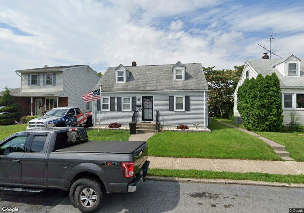
521 E Frankford St Bethlehem, PA 18018
Downtown Bethlehem NeighborhoodEstimated Value: $260,787 - $294,000
About This Home
This home is located at 521 E Frankford St, Bethlehem, PA 18018 and is currently estimated at $276,697, approximately $257 per square foot. 521 E Frankford St is a home located in Northampton County with nearby schools including Thomas Jefferson Elementary School, Northeast Middle School, and Liberty High School.
Ownership History
We collect this data history from publicly available records. To have your information removed, we recommend requesting removal directly through your county’s website.
Purchase Details
Purchase Details
Home Values in the Area
Average Home Value in this Area
Purchase History
We collect this data history from publicly available records. To have your information removed, we recommend requesting removal directly through your county’s website.
| Date | Buyer | Sale Price | Title Company |
|---|---|---|---|
| $80,000 | -- | ||
| $24,500 | -- |
Mortgage History
We collect this data history from publicly available records. To have your information removed, we recommend requesting removal directly through your county’s website.
| Date | Status | Borrower | Loan Amount |
|---|---|---|---|
| Open | $56,600 |
Tax History
We collect this data history from publicly available records. To have your information removed, we recommend requesting removal directly through your county’s website.
| Year | Tax Paid | Tax Assessment Tax Assessment Total Assessment is a certain percentage of the fair market value that is determined by local assessors to be the total taxable value of land and additions on the property. | Land | Improvement |
|---|---|---|---|---|
| 2026 | $450 | $41,700 | $12,600 | $29,100 |
| 2025 | $450 | $41,700 | $12,600 | $29,100 |
| 2024 | $3,686 | $41,700 | $12,600 | $29,100 |
| 2023 | $3,686 | $41,700 | $12,600 | $29,100 |
| 2022 | $3,657 | $41,700 | $12,600 | $29,100 |
| 2021 | $3,632 | $41,700 | $12,600 | $29,100 |
| 2020 | $3,598 | $41,700 | $12,600 | $29,100 |
| 2019 | $3,586 | $41,700 | $12,600 | $29,100 |
| 2018 | $3,499 | $41,700 | $12,600 | $29,100 |
| 2017 | $3,457 | $41,700 | $12,600 | $29,100 |
| 2016 | -- | $41,700 | $12,600 | $29,100 |
| 2015 | -- | $41,700 | $12,600 | $29,100 |
| 2014 | -- | $41,700 | $12,600 | $29,100 |
Map
- 521 Laurel Ponds
- 417 E Fairview St
- 1037 Maple St
- 1207 Maple St
- 430 E Goepp St
- 743 Dellwood St
- 1118 Minsi Trail St
- 812 Linden St
- 1403 Linden St
- 228 E Ettwein St
- 715 Wood St
- 723 E Washington Ave
- 552 E Washington Ave
- 205 E Goepp St
- 1629 Linwood St
- 1626 Elm St
- 227 E Garrison St
- 919 Cayuga St
- 1422 High St
- 111 E Goepp St
- 520 E Laurel St
- 522 E Laurel St
- 511 Laurel Pond-NeMacOlin
- 516 E Laurel St
- 524 E Laurel St
- 526 E Laurel St
- 514 E Laurel St
- 519 E Frankford St
- 528 E Laurel St
- 532 E Laurel St
- 532 Laurel Pond
- 1034 Elm St
- 527 E Frankford St
- 1038 Elm St
- 530 Laurel Ponds
- 510 Laurel Pond
- 1032 Elm St
- 1030 Elm St
- 534 E Laurel St
- 540 Laurel Ponds
Ask me questions while you tour the home.