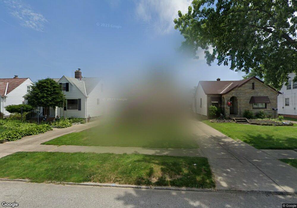
5211 Philip Ave Maple Heights, OH 44137
Estimated Value: $120,000 - $141,000
3
Beds
1
Bath
1,316
Sq Ft
$98/Sq Ft
Est. Value
About This Home
This home is located at 5211 Philip Ave, Maple Heights, OH 44137 and is currently estimated at $129,561, approximately $98 per square foot. 5211 Philip Ave is a home located in Cuyahoga County with nearby schools including Abraham Lincoln Elementary School, Rockside/ J.F. Kennedy School, and Barack Obama School.
Ownership History
Date
Name
Owned For
Owner Type
Purchase Details
Closed on
Nov 7, 2011
Sold by
Federal Home Loan Mortgage Corporation
Bought by
Thompson Alex M
Current Estimated Value
Purchase Details
Closed on
Apr 28, 2011
Sold by
Graves Wayne A
Bought by
Federal National Mortgage Association
Purchase Details
Closed on
Oct 24, 2001
Sold by
Frijouf James A
Bought by
Graves Wayne A
Home Financials for this Owner
Home Financials are based on the most recent Mortgage that was taken out on this home.
Original Mortgage
$85,412
Interest Rate
6.88%
Mortgage Type
FHA
Purchase Details
Closed on
Jul 27, 1979
Sold by
Frijouf Albert J and Frijouf Mary K
Bought by
Frijouf Albert J
Purchase Details
Closed on
Jan 1, 1975
Bought by
Frijouf Albert J and Frijouf Mary K
Create a Home Valuation Report for This Property
The Home Valuation Report is an in-depth analysis detailing your home's value as well as a comparison with similar homes in the area
Home Values in the Area
Average Home Value in this Area
Purchase History
| Date | Buyer | Sale Price | Title Company |
|---|---|---|---|
| Thompson Alex M | $19,100 | None Available | |
| Federal National Mortgage Association | $166,667 | None Available | |
| Graves Wayne A | $86,800 | Midland Title Security Inc | |
| Frijouf Albert J | -- | -- | |
| Frijouf Albert J | -- | -- |
Source: Public Records
Mortgage History
| Date | Status | Borrower | Loan Amount |
|---|---|---|---|
| Previous Owner | Graves Wayne A | $85,412 |
Source: Public Records
Tax History
| Year | Tax Paid | Tax Assessment Tax Assessment Total Assessment is a certain percentage of the fair market value that is determined by local assessors to be the total taxable value of land and additions on the property. | Land | Improvement |
|---|---|---|---|---|
| 2025 | $3,047 | $36,890 | $7,140 | $29,750 |
| 2024 | $3,389 | $36,890 | $7,140 | $29,750 |
| 2023 | $2,168 | $19,460 | $4,340 | $15,120 |
| 2022 | $2,160 | $19,460 | $4,340 | $15,120 |
| 2021 | $2,302 | $19,460 | $4,340 | $15,120 |
| 2020 | $1,972 | $14,740 | $3,290 | $11,450 |
| 2019 | $1,961 | $42,100 | $9,400 | $32,700 |
| 2018 | $1,951 | $14,740 | $3,290 | $11,450 |
| 2017 | $1,777 | $12,850 | $3,010 | $9,840 |
| 2016 | $1,719 | $12,850 | $3,010 | $9,840 |
| 2015 | $1,710 | $12,850 | $3,010 | $9,840 |
| 2014 | $1,710 | $14,110 | $3,330 | $10,780 |
Source: Public Records
Map
Nearby Homes
- 5231 Philip Ave
- 5246 Philip Ave
- 5177 Cato St
- 5150 Arch St
- 5234 Erwin St
- 17409 Mapleboro Ave
- 5100 Erwin St
- 5031 Cato St
- 5127 Erwin St
- 17282 Mccracken Rd
- 17005 Mapleboro Ave
- 5328 Vine St
- 5481 Dalewood Ave
- 18715 Libby Rd
- 5341 Hollywood Ave
- 18840 Nitra Ave
- 18217 Edinboro Ave
- 18851 Raymond St
- 18909 Maple Heights Blvd
- 5194 Homewood Ave
- 5215 Philip Ave
- 5207 Philip Ave
- 5217 Philip Ave
- 5203 Philip Ave
- 5221 Philip Ave
- 5210 Thomas St
- 5214 Thomas St
- 5206 Thomas St
- 5202 Thomas St
- 5218 Thomas St
- 5227 Philip Ave
- 5181 Philip Ave
- 5186 Thomas St
- 5220 Thomas St
- 5210 Philip Ave
- 5214 Philip Ave
- 5206 Philip Ave
- 5177 Philip Ave
- 5216 Philip Ave
- 5204 Philip Ave
Your Personal Tour Guide
Ask me questions while you tour the home.