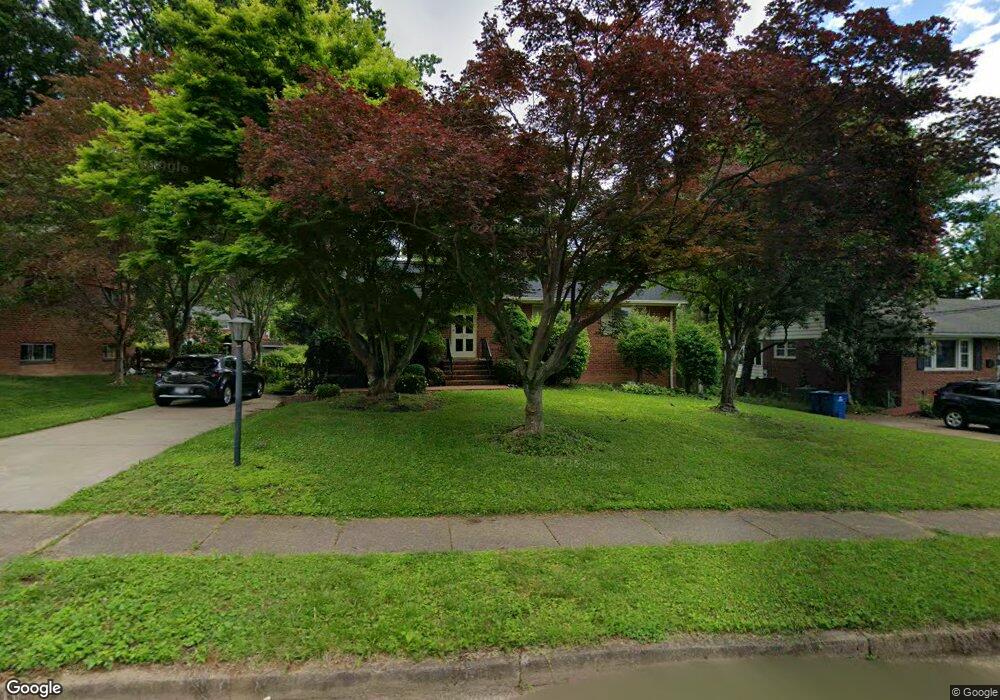
5212 Milland St Springfield, VA 22151
Estimated Value: $704,996 - $742,000
3
Beds
3
Baths
1,558
Sq Ft
$466/Sq Ft
Est. Value
About This Home
This home is located at 5212 Milland St, Springfield, VA 22151 and is currently estimated at $725,249, approximately $465 per square foot. 5212 Milland St is a home located in Fairfax County with nearby schools including North Springfield Elementary School, Holmes Middle School, and Annandale High School.
Ownership History
Date
Name
Owned For
Owner Type
Purchase Details
Closed on
May 16, 2007
Sold by
John C Cool Trustee
Bought by
Hong Chi My
Current Estimated Value
Home Financials for this Owner
Home Financials are based on the most recent Mortgage that was taken out on this home.
Original Mortgage
$408,000
Outstanding Balance
$248,309
Interest Rate
6.18%
Mortgage Type
New Conventional
Estimated Equity
$476,940
Create a Home Valuation Report for This Property
The Home Valuation Report is an in-depth analysis detailing your home's value as well as a comparison with similar homes in the area
Home Values in the Area
Average Home Value in this Area
Purchase History
| Date | Buyer | Sale Price | Title Company |
|---|---|---|---|
| Hong Chi My | $510,000 | -- |
Source: Public Records
Mortgage History
| Date | Status | Borrower | Loan Amount |
|---|---|---|---|
| Open | Hong Chi My | $408,000 |
Source: Public Records
Tax History
| Year | Tax Paid | Tax Assessment Tax Assessment Total Assessment is a certain percentage of the fair market value that is determined by local assessors to be the total taxable value of land and additions on the property. | Land | Improvement |
|---|---|---|---|---|
| 2025 | $7,600 | $690,530 | $280,000 | $410,530 |
| 2024 | $7,600 | $655,980 | $265,000 | $390,980 |
| 2023 | $7,208 | $638,680 | $255,000 | $383,680 |
| 2022 | $6,937 | $606,660 | $225,000 | $381,660 |
| 2021 | $6,377 | $543,410 | $207,000 | $336,410 |
| 2020 | $6,315 | $533,610 | $207,000 | $326,610 |
| 2019 | $6,315 | $533,610 | $207,000 | $326,610 |
| 2018 | $5,795 | $503,920 | $207,000 | $296,920 |
| 2017 | $5,611 | $483,270 | $195,000 | $288,270 |
| 2016 | $5,483 | $473,270 | $185,000 | $288,270 |
Source: Public Records
Map
Nearby Homes
- 7727 Kalorama Rd
- 5008 Terrell St
- 5417 Juliet St
- 7921 Foote Ln
- 4917 Erie St
- 4960 Schuyler Dr
- 4900 Schuyler Dr
- 5404 Nutting Dr
- 4909 Americana Dr Unit 106
- 4901 Americana Dr Unit 202
- 4903 Americana Dr Unit 107
- 7314 Inzer St
- 7318 Chatham St
- 7669 Long Pine Dr
- 7800 Winona Ct
- 7304 Inzer St
- 4917 Herkimer St
- 5633 Inverchapel Rd
- 7331 Calvert St
- 7343 Calvert St
- 5214 Milland St
- 5210 Milland St
- 5216 Milland St
- 5208 Milland St
- 7715 Elgar St
- 7713 Elgar St
- 7717 Elgar St
- 5213 Milland St
- 5215 Milland St
- 5211 Milland St
- 7711 Elgar St
- 7719 Elgar St
- 5217 Milland St
- 5218 Milland St
- 5206 Milland St
- 5209 Milland St
- 7709 Elgar St
- 5219 Milland St
- 7721 Elgar St
- 5207 Milland St
Your Personal Tour Guide
Ask me questions while you tour the home.