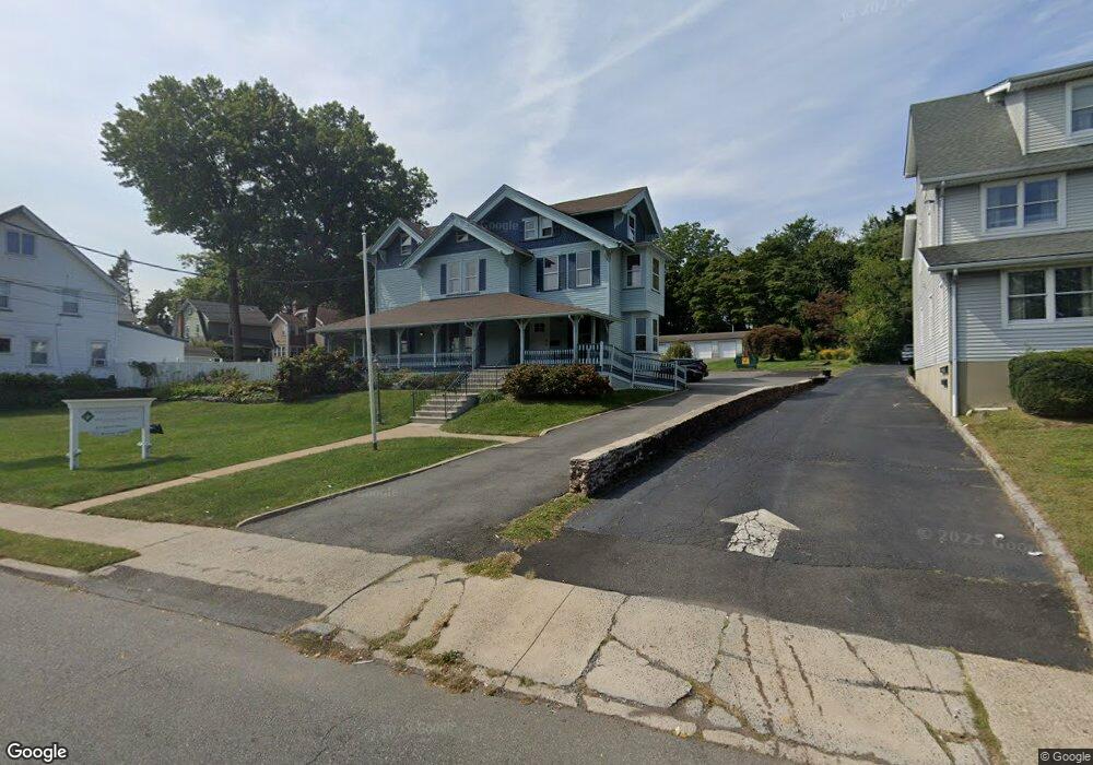
522 Broad St Bloomfield, NJ 07003
Bloomfield AreaEstimated Value: $1,284,134
About This Home
This home is located at 522 Broad St, Bloomfield, NJ 07003 and is currently estimated at $1,284,134, approximately $238 per square foot. 522 Broad St is a home located in Essex County with nearby schools including Franklin School, Bloomfield Middle School, and Bloomfield High School.
Ownership History
We collect this data history from publicly available records. To have your information removed, we recommend requesting removal directly through your county’s website.
Purchase Details
Home Financials for this Owner
Home Financials are based on the most recent Mortgage that was taken out on this home.Purchase Details
Home Values in the Area
Average Home Value in this Area
Purchase History
We collect this data history from publicly available records. To have your information removed, we recommend requesting removal directly through your county’s website.
| Date | Buyer | Sale Price | Title Company |
|---|---|---|---|
| $1,060,000 | -- | ||
| -- | -- |
Mortgage History
We collect this data history from publicly available records. To have your information removed, we recommend requesting removal directly through your county’s website.
| Date | Status | Borrower | Loan Amount |
|---|---|---|---|
| Previous Owner | $825,000 |
Tax History
We collect this data history from publicly available records. To have your information removed, we recommend requesting removal directly through your county’s website.
| Year | Tax Paid | Tax Assessment Tax Assessment Total Assessment is a certain percentage of the fair market value that is determined by local assessors to be the total taxable value of land and additions on the property. | Land | Improvement |
|---|---|---|---|---|
| 2026 | $30,661 | $878,800 | $524,900 | $353,900 |
| 2025 | $30,661 | $878,800 | $524,900 | $353,900 |
| 2024 | $29,791 | $878,800 | $524,900 | $353,900 |
| 2022 | $29,189 | $911,600 | $524,900 | $386,700 |
| 2021 | $28,652 | $911,600 | $524,900 | $386,700 |
| 2020 | $28,214 | $911,600 | $524,900 | $386,700 |
| 2019 | $33,815 | $849,400 | $443,200 | $406,200 |
| 2018 | $33,670 | $849,400 | $443,200 | $406,200 |
| 2017 | $33,161 | $849,400 | $443,200 | $406,200 |
| 2016 | $32,787 | $849,400 | $443,200 | $406,200 |
| 2015 | $32,490 | $849,400 | $443,200 | $406,200 |
| 2014 | $31,895 | $849,400 | $443,200 | $406,200 |
Map
- 40 Comley Place
- 45 Bay Ave
- 398 Hoover Ave Unit 185
- 12 Brook Place
- 367 Hoover Ave
- 380 Hoover Ave Unit 156
- 40 Mill St Unit 1
- 378 Hoover Ave Unit 150
- 354 Hoover Ave Unit 98
- 1 Bay Ave
- 316 Hoover Ave Unit 54
- 380 Ridgewood Ave
- 60 Clinton Rd
- 10 E Passaic Ave
- 367 Essex Ave
- 106 Broughton Ave
- 146 Sherman Ave
- 17 Pettit St
- 37 Elston St
- 68 Birch St
- 522 Broad St
- 526 Broad St Unit 6
- 526 Broad St Unit 3rd fl
- 526 Broad St
- 23 Vernon Terrace
- 518 Broad St
- 27 Vernon Terrace
- 19 Vernon Terrace
- 31 Vernon Terrace
- 15 Vernon Terrace
- 35 Vernon Terrace
- 11 Vernon Terrace
- 193 Essex Ave
- 193 Essex Ave Unit 1
- 195 Essex Ave
- 197 Essex Ave
- 153 Essex Ave
- 201 Essex Ave
- 149 Essex Ave
- 211 Essex Ave
Ask me questions while you tour the home.