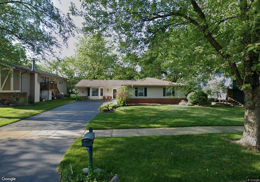
522 Castle Ct Bolingbrook, IL 60440
East Bolingbrook NeighborhoodEstimated Value: $308,718 - $371,000
About This Home
This home is located at 522 Castle Ct, Bolingbrook, IL 60440 and is currently estimated at $335,180, approximately $224 per square foot. 522 Castle Ct is a home located in Will County with nearby schools including Jonas E Salk Elementary School, Hubert H Humphrey Middle School, and Bolingbrook High School.
Ownership History
We collect this data history from publicly available records. To have your information removed, we recommend requesting removal directly through your county’s website.
Purchase Details
Home Financials for this Owner
Home Financials are based on the most recent Mortgage that was taken out on this home.Purchase Details
Purchase Details
Home Financials for this Owner
Home Financials are based on the most recent Mortgage that was taken out on this home.Purchase Details
Home Financials for this Owner
Home Financials are based on the most recent Mortgage that was taken out on this home.Home Values in the Area
Average Home Value in this Area
Purchase History
We collect this data history from publicly available records. To have your information removed, we recommend requesting removal directly through your county’s website.
| Date | Buyer | Sale Price | Title Company |
|---|---|---|---|
| $237,000 | Multiple | ||
| $140,500 | -- | ||
| $108,000 | -- | ||
| $108,000 | -- |
Mortgage History
We collect this data history from publicly available records. To have your information removed, we recommend requesting removal directly through your county’s website.
| Date | Status | Borrower | Loan Amount |
|---|---|---|---|
| Open | $187,000 | ||
| Previous Owner | $104,908 | ||
| Previous Owner | $106,493 |
Tax History
We collect this data history from publicly available records. To have your information removed, we recommend requesting removal directly through your county’s website.
| Year | Tax Paid | Tax Assessment Tax Assessment Total Assessment is a certain percentage of the fair market value that is determined by local assessors to be the total taxable value of land and additions on the property. | Land | Improvement |
|---|---|---|---|---|
| 2024 | $2,841 | $85,836 | $20,174 | $65,662 |
| 2023 | $2,928 | $77,232 | $18,152 | $59,080 |
| 2022 | $5,795 | $69,629 | $16,365 | $53,264 |
| 2021 | $3,695 | $65,105 | $15,302 | $49,803 |
| 2020 | $3,712 | $62,964 | $14,799 | $48,165 |
| 2019 | $3,787 | $59,965 | $14,094 | $45,871 |
| 2018 | $3,812 | $55,170 | $12,967 | $42,203 |
| 2017 | $3,847 | $59,248 | $12,291 | $46,957 |
| 2016 | $3,941 | $56,400 | $11,700 | $44,700 |
| 2015 | $3,952 | $52,500 | $10,900 | $41,600 |
| 2014 | $3,952 | $47,700 | $9,900 | $37,800 |
| 2013 | $3,952 | $47,700 | $9,900 | $37,800 |
Map
- 420 Justine Ave
- 329 Shield Ct
- 248 Oakridge Ct
- 220 N Ashbury Ave
- 104 Stoneham Ct
- 172 N Ashbury Ave
- 433 N Ashbury Ave
- 564 White Oak Rd
- 531 Redwood Rd
- 325 Homewood Dr
- 271 Stonegate Rd
- 354 Aaron Ln
- 440 Wright Ct
- 437 Wright Ct
- 457 Wright Ct
- 406 Assembly Dr
- 441 Sullivan Cir
- 602 N Ashbury Ave
- 524 Monroe Rd
- 555 Monroe Rd
- 510 Castle Ct
- 514 Castle Ct
- 316 N Pinecrest Rd
- 320 N Pinecrest Rd
- 518 Castle Ct
- 513 Forest Way
- 509 Castle Ct
- 513 Castle Ct
- 517 Forest Way
- 505 Castle Ct Unit 5
- 517 Castle Ct
- 325 N Pinecrest Rd
- 308 N Pinecrest Rd
- 329 N Pinecrest Rd
- 321 N Pinecrest Rd
- 521 Castle Ct
- 521 Forest Way
- 317 N Pinecrest Rd
- 526 Castle Ct
- 510 Rockhurst Rd
Ask me questions while you tour the home.