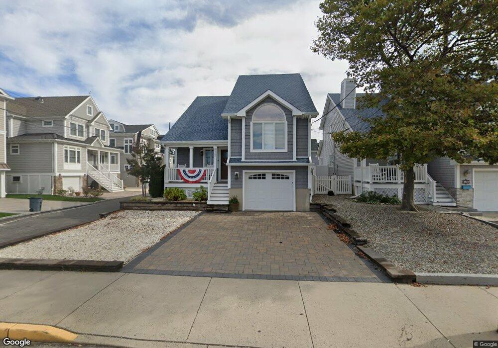
522 Main St Manasquan, NJ 08736
Estimated Value: $1,415,000 - $1,615,000
3
Beds
3
Baths
1,778
Sq Ft
$834/Sq Ft
Est. Value
About This Home
This home is located at 522 Main St, Manasquan, NJ 08736 and is currently estimated at $1,482,161, approximately $833 per square foot. 522 Main St is a home located in Monmouth County with nearby schools including Manasquan Elementary School, Manasquan High School, and St. Catharine School.
Ownership History
Date
Name
Owned For
Owner Type
Purchase Details
Closed on
Apr 18, 2024
Sold by
Melchione Susan and Melchione Anthony
Bought by
Susan D Melchione Revocable Trust and Melchione
Current Estimated Value
Purchase Details
Closed on
Aug 9, 2021
Sold by
Melchione Susan
Bought by
Melchione Susan and Melchione Anthony
Home Financials for this Owner
Home Financials are based on the most recent Mortgage that was taken out on this home.
Original Mortgage
$200,000
Interest Rate
2.2%
Mortgage Type
New Conventional
Purchase Details
Closed on
Jun 19, 2017
Sold by
Melchione Susan and The Estate Of Lucretia Monagha
Bought by
Melchione Susan
Create a Home Valuation Report for This Property
The Home Valuation Report is an in-depth analysis detailing your home's value as well as a comparison with similar homes in the area
Home Values in the Area
Average Home Value in this Area
Purchase History
| Date | Buyer | Sale Price | Title Company |
|---|---|---|---|
| Susan D Melchione Revocable Trust | -- | None Listed On Document | |
| Susan D Melchione Revocable Trust | -- | None Listed On Document | |
| Melchione Susan | -- | Hunter Title Agency Inc | |
| Melchione Susan | -- | Hunter Title | |
| Melchione Susan | -- | None Available |
Source: Public Records
Mortgage History
| Date | Status | Borrower | Loan Amount |
|---|---|---|---|
| Previous Owner | Melchione Susan | $200,000 |
Source: Public Records
Tax History
| Year | Tax Paid | Tax Assessment Tax Assessment Total Assessment is a certain percentage of the fair market value that is determined by local assessors to be the total taxable value of land and additions on the property. | Land | Improvement |
|---|---|---|---|---|
| 2025 | $9,486 | $533,500 | $301,200 | $232,300 |
| 2024 | $9,128 | $533,500 | $301,200 | $232,300 |
| 2023 | $9,128 | $533,500 | $301,200 | $232,300 |
| 2022 | $8,546 | $518,900 | $301,200 | $217,700 |
| 2021 | $8,546 | $518,900 | $301,200 | $217,700 |
| 2020 | $8,427 | $518,900 | $301,200 | $217,700 |
| 2019 | $8,110 | $518,900 | $301,200 | $217,700 |
| 2018 | $7,929 | $518,900 | $301,200 | $217,700 |
| 2017 | $7,628 | $518,900 | $301,200 | $217,700 |
| 2016 | $7,425 | $518,900 | $301,200 | $217,700 |
| 2015 | $7,704 | $465,400 | $223,200 | $242,200 |
| 2014 | $7,573 | $458,300 | $216,000 | $242,300 |
Source: Public Records
Map
Nearby Homes
- 43 Pearce Ct
- 200-202 3rd Ave
- 55 Beach Front
- 22 2nd Ave
- 133 Fletcher Ave
- 340 E Main St
- 404 Perrine Blvd
- 405 Perrine Blvd
- 569 Trout Ave
- 22 Crescent Dr
- 564 Perch Ave
- 10 Waters Edge
- 28 Wyckoff Ave Unit and 28-1/2
- 28 Wyckoff Ave
- 329 Fisk Ave
- 49 Wyckoff Ave
- 431 Beachfront
- 217 Neptune Place
- 323-325 Fisk Ave
- 219 Neptune Place
Your Personal Tour Guide
Ask me questions while you tour the home.