Estimated Value: $205,000 - $1,730,000
Studio
--
Bath
420
Sq Ft
$2,461/Sq Ft
Est. Value
About This Home
This home is located at 522 Mann Rd, Acton, ME 04001 and is currently estimated at $1,033,423, approximately $2,460 per square foot. 522 Mann Rd is a home located in York County with nearby schools including Acton Elementary School.
Ownership History
Date
Name
Owned For
Owner Type
Purchase Details
Closed on
Jun 21, 2011
Sold by
Nielsen Scott A
Bought by
Nielsen Jennifer E and Nielsen Scott A
Current Estimated Value
Home Financials for this Owner
Home Financials are based on the most recent Mortgage that was taken out on this home.
Original Mortgage
$417,000
Outstanding Balance
$285,845
Interest Rate
4.74%
Mortgage Type
Purchase Money Mortgage
Estimated Equity
$747,578
Purchase Details
Closed on
Jul 2, 2008
Sold by
Est Horne Matte M and Nielsen Paul B
Bought by
Nielsen Scott A
Create a Home Valuation Report for This Property
The Home Valuation Report is an in-depth analysis detailing your home's value as well as a comparison with similar homes in the area
Home Values in the Area
Average Home Value in this Area
Purchase History
| Date | Buyer | Sale Price | Title Company |
|---|---|---|---|
| Nielsen Jennifer E | -- | -- | |
| Nielsen Scott A | -- | -- |
Source: Public Records
Mortgage History
| Date | Status | Borrower | Loan Amount |
|---|---|---|---|
| Open | Nielsen Jennifer E | $417,000 | |
| Closed | Nielsen Scott A | $225,000 |
Source: Public Records
Tax History
| Year | Tax Paid | Tax Assessment Tax Assessment Total Assessment is a certain percentage of the fair market value that is determined by local assessors to be the total taxable value of land and additions on the property. | Land | Improvement |
|---|---|---|---|---|
| 2025 | $8,206 | $1,138,087 | $770,100 | $367,987 |
| 2024 | $8,046 | $1,138,087 | $770,100 | $367,987 |
| 2023 | $6,910 | $1,071,386 | $760,100 | $311,286 |
| 2022 | $6,617 | $553,732 | $347,409 | $206,323 |
| 2021 | $6,617 | $553,732 | $347,409 | $206,323 |
| 2020 | $6,672 | $553,732 | $347,409 | $206,323 |
| 2019 | $6,672 | $553,732 | $347,409 | $206,323 |
| 2018 | $6,672 | $553,732 | $347,409 | $206,323 |
| 2017 | $6,589 | $553,732 | $347,409 | $206,323 |
| 2016 | $6,229 | $553,732 | $347,409 | $206,323 |
| 2015 | $6,396 | $553,732 | $347,409 | $206,323 |
| 2014 | $6,146 | $553,732 | $347,409 | $206,323 |
Source: Public Records
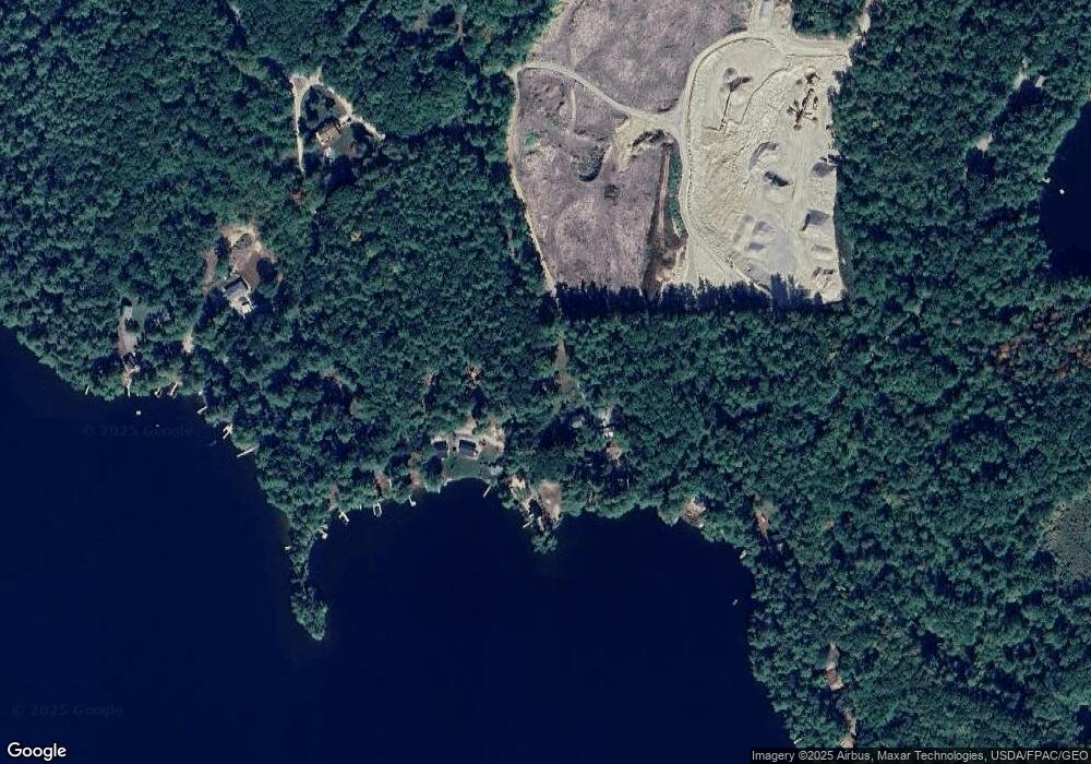
Map
Nearby Homes
- 271 Red Gate Ln
- 163 Buzzell Rd
- 00 Racoon Rd
- 394 Raccoon Rd
- 1498 W Shore Dr
- Lot 11 Ridge Way
- Lot 13 Ridge Way
- 367 Shady Nook Rd
- M43 L6 Shady Nook Rd
- 2620 Maine 109
- 97 Daniel Dr
- Lot 5 St Laurent Way
- 281 Gile Rd
- 59 Main St
- 16 Mann Rd
- M49 L16.2 Sanborn Rd Unit Lot 1
- 45 Morrison Ln
- 60 Morrison Ln
- 103 Goodwin Rd
- 29 Concord Ln
- 77 Chamberlin Rd
- 163 Grandview
- 168 Grandview Rd
- 156 Grandview Dr
- 156 Grand View Rd
- 168 Grand View Rd
- 128 Grand View Rd
- 96 Grand View Rd
- 56 Grand View Rd
- 56 Grandview Rd
- 17 Field Rd
- 492 Mann Rd
- 30 Field Rd
- 67 Field Rd
- 0 Mann & Grandview Roads
- 37 Field Rd
- 115 Moose Pond Rd
- 54 Clifton Dale Rd
- 467 Mann Rd
- 370 Mann Rd
Your Personal Tour Guide
Ask me questions while you tour the home.