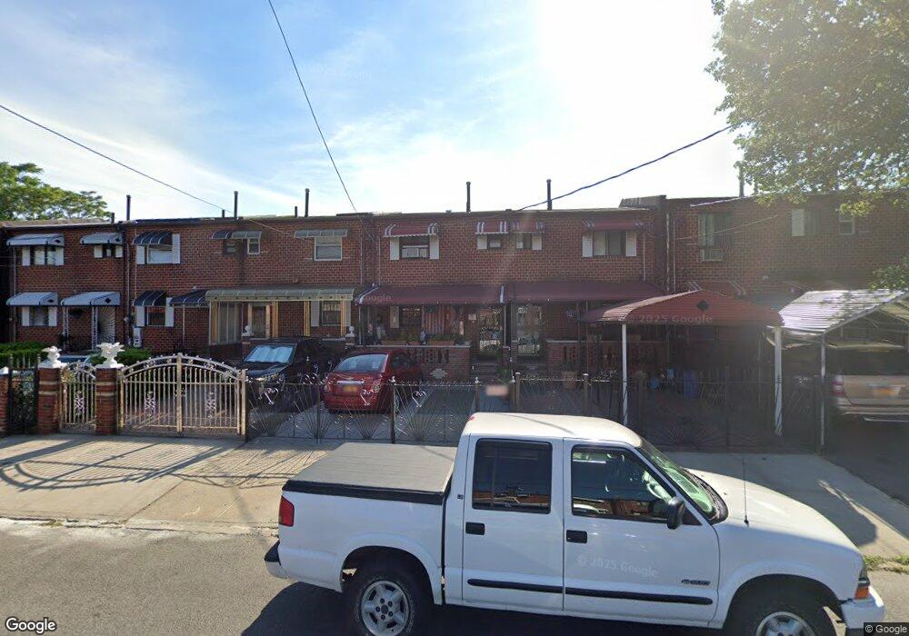
524 Powell St Brooklyn, NY 11212
Brownsville NeighborhoodEstimated Value: $586,089 - $636,000
About This Home
This home is located at 524 Powell St, Brooklyn, NY 11212 and is currently estimated at $619,272, approximately $554 per square foot. 524 Powell St is a home located in Kings County with nearby schools including P.S. 150 - Christopher, P.S. 165 Ida Posner, and P.S. 156 Waverly.
Ownership History
We collect this data history from publicly available records. To have your information removed, we recommend requesting removal directly through your county’s website.
Purchase Details
Home Financials for this Owner
Home Financials are based on the most recent Mortgage that was taken out on this home.Home Values in the Area
Average Home Value in this Area
Purchase History
We collect this data history from publicly available records. To have your information removed, we recommend requesting removal directly through your county’s website.
| Date | Buyer | Sale Price | Title Company |
|---|---|---|---|
| $290,000 | -- |
Mortgage History
We collect this data history from publicly available records. To have your information removed, we recommend requesting removal directly through your county’s website.
| Date | Status | Borrower | Loan Amount |
|---|---|---|---|
| Open | $253,500 | ||
| Closed | $38,700 |
Tax History
We collect this data history from publicly available records. To have your information removed, we recommend requesting removal directly through your county’s website.
| Year | Tax Paid | Tax Assessment Tax Assessment Total Assessment is a certain percentage of the fair market value that is determined by local assessors to be the total taxable value of land and additions on the property. | Land | Improvement |
|---|---|---|---|---|
| 2026 | $4,164 | $35,940 | $11,580 | $24,360 |
| 2025 | $3,917 | $33,660 | $11,580 | $22,080 |
| 2024 | $3,917 | $32,580 | $11,580 | $21,000 |
| 2023 | $3,961 | $34,800 | $11,580 | $23,220 |
| 2022 | $3,806 | $28,500 | $11,580 | $16,920 |
| 2021 | $3,822 | $30,180 | $11,580 | $18,600 |
| 2020 | $1,761 | $28,440 | $11,580 | $16,860 |
| 2019 | $2,715 | $22,860 | $11,580 | $11,280 |
| 2018 | $3,253 | $17,418 | $8,777 | $8,641 |
| 2017 | $3,183 | $17,085 | $9,756 | $7,329 |
| 2016 | $2,950 | $16,306 | $10,022 | $6,284 |
| 2015 | $1,724 | $15,384 | $8,229 | $7,155 |
| 2014 | $1,724 | $14,515 | $8,406 | $6,109 |
Map
- 546 Powell St
- 699 Sackman St
- 797 Mother Gaston Blvd
- 428 Newport St
- 533 Snediker Ave
- 555 Christopher Ave
- 570 Christopher Ave
- 450 Newport St
- 584 Hinsdale St
- 578 Christopher Ave
- 515 Hinsdale St
- 460 Hinsdale St
- 578 Williams Ave
- 587 Osborn St
- 650 Williams Ave
- 660 Williams Ave
- 606 Alabama Ave
- 610 Alabama Ave
- 1753 Linden Blvd
- 639 Watkins St
- 671 Sackman St
- 673 Sackman St
- 669 Sackman St
- 675 Sackman St
- 665 Sackman St
- 677 Sackman St
- 663 Sackman St
- 661 Sackman St
- 681 Sackman St
- 683 Sackman St
- 683 Sackman St Unit TOWNHOUSE
- 659 Sackman St
- 532 Powell St
- 530 Powell St
- 534 Powell St
- 526 Powell St
- 536 Powell St
- 655 Sackman St
- 685 Sackman St
- 538 Powell St
Ask me questions while you tour the home.