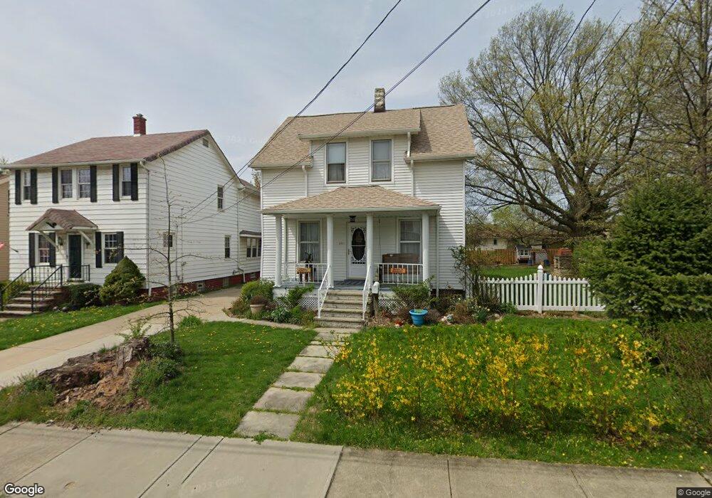
5246 Milo Ave Maple Heights, OH 44137
Estimated Value: $120,000 - $140,807
3
Beds
1
Bath
1,512
Sq Ft
$85/Sq Ft
Est. Value
About This Home
This home is located at 5246 Milo Ave, Maple Heights, OH 44137 and is currently estimated at $128,952, approximately $85 per square foot. 5246 Milo Ave is a home located in Cuyahoga County with nearby schools including Abraham Lincoln Elementary School, Rockside/ J.F. Kennedy School, and Barack Obama School.
Ownership History
Date
Name
Owned For
Owner Type
Purchase Details
Closed on
Aug 6, 2004
Sold by
Beer Barbara Rose and Moore Therese M
Bought by
Beer Joseph G
Current Estimated Value
Purchase Details
Closed on
Nov 24, 1980
Sold by
Beer Joseph J and Beer Barbara
Bought by
Barbara Rose Beer
Purchase Details
Closed on
Jan 1, 1975
Bought by
Beer Joseph J and Beer Barbara
Create a Home Valuation Report for This Property
The Home Valuation Report is an in-depth analysis detailing your home's value as well as a comparison with similar homes in the area
Home Values in the Area
Average Home Value in this Area
Purchase History
We collect this data history from publicly available records. To have your information removed, we recommend requesting removal directly through your county’s website.
| Date | Buyer | Sale Price | Title Company |
|---|---|---|---|
| Beer Joseph G | -- | -- | |
| Barbara Rose Beer | -- | -- | |
| Beer Joseph J | -- | -- |
Source: Public Records
Tax History
| Year | Tax Paid | Tax Assessment Tax Assessment Total Assessment is a certain percentage of the fair market value that is determined by local assessors to be the total taxable value of land and additions on the property. | Land | Improvement |
|---|---|---|---|---|
| 2025 | $3,426 | $43,190 | $7,140 | $36,050 |
| 2024 | $3,815 | $43,190 | $7,140 | $36,050 |
| 2023 | $2,860 | $27,620 | $3,780 | $23,840 |
| 2022 | $2,850 | $27,620 | $3,780 | $23,840 |
| 2021 | $3,044 | $27,620 | $3,780 | $23,840 |
| 2020 | $2,588 | $20,930 | $2,870 | $18,060 |
| 2019 | $2,576 | $59,800 | $8,200 | $51,600 |
| 2018 | $2,491 | $20,930 | $2,870 | $18,060 |
| 2017 | $2,603 | $20,830 | $3,640 | $17,190 |
| 2016 | $2,519 | $20,830 | $3,640 | $17,190 |
| 2015 | $2,396 | $20,830 | $3,640 | $17,190 |
| 2014 | $2,396 | $21,460 | $3,750 | $17,710 |
Source: Public Records
Map
Nearby Homes
- 5197 Milo Ave
- 14417 Maple Ave
- 14510 Granger Rd
- 14512 Granger Rd
- 14522 Granger Rd
- 13917 Wolf Ave
- 13706 Shady Oak Blvd
- 13019 Darlington Ave
- 13009 Darlington Ave
- 12809 Mccracken Rd Unit 1
- 13708 Woodward Blvd
- 13402 Shady Oak Blvd
- 5137 Miller Ave
- 12328 Granger Rd
- 5036 Claremont Blvd
- 5061 Miller Ave
- 12304 Tonsing Dr
- 15809 Raymond St
- 13508 Oakview Blvd
- 13701 Maple Leaf Dr
Your Personal Tour Guide
Ask me questions while you tour the home.