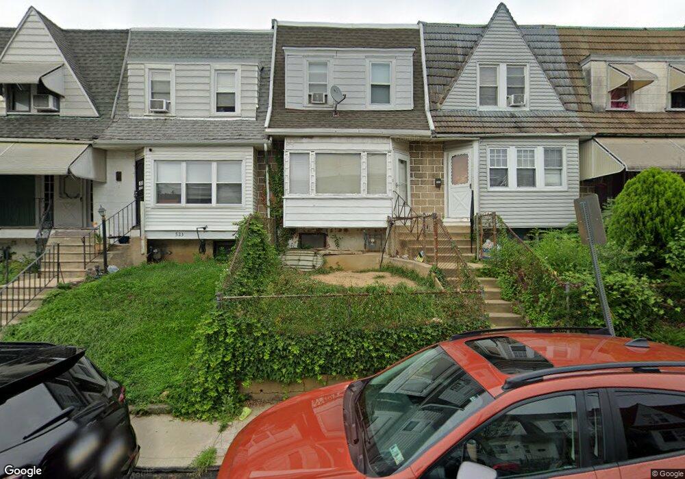
525 Hampden Rd Upper Darby, PA 19082
Upper Darby AreaEstimated Value: $154,121 - $198,000
About This Home
This home is located at 525 Hampden Rd, Upper Darby, PA 19082 and is currently estimated at $176,780, approximately $161 per square foot. 525 Hampden Rd is a home located in Delaware County with nearby schools including Upper Darby Kdg Center, Upper Darby High School, and Vision Academy Charter School.
Ownership History
We collect this data history from publicly available records. To have your information removed, we recommend requesting removal directly through your county’s website.
Purchase Details
Home Values in the Area
Average Home Value in this Area
Purchase History
We collect this data history from publicly available records. To have your information removed, we recommend requesting removal directly through your county’s website.
| Date | Buyer | Sale Price | Title Company |
|---|---|---|---|
| $42,000 | -- |
Mortgage History
We collect this data history from publicly available records. To have your information removed, we recommend requesting removal directly through your county’s website.
| Date | Status | Borrower | Loan Amount |
|---|---|---|---|
| Closed | $15,000 |
Tax History
We collect this data history from publicly available records. To have your information removed, we recommend requesting removal directly through your county’s website.
| Year | Tax Paid | Tax Assessment Tax Assessment Total Assessment is a certain percentage of the fair market value that is determined by local assessors to be the total taxable value of land and additions on the property. | Land | Improvement |
|---|---|---|---|---|
| 2026 | $2,927 | $65,890 | $13,540 | $52,350 |
| 2025 | $2,787 | $65,890 | $13,540 | $52,350 |
| 2024 | $2,787 | $65,890 | $13,540 | $52,350 |
| 2023 | $2,760 | $65,890 | $13,540 | $52,350 |
| 2022 | $2,686 | $65,890 | $13,540 | $52,350 |
| 2021 | $3,622 | $65,890 | $13,540 | $52,350 |
| 2020 | $2,721 | $42,060 | $12,310 | $29,750 |
| 2019 | $2,673 | $42,060 | $12,310 | $29,750 |
| 2018 | $2,642 | $42,060 | $0 | $0 |
| 2017 | $2,573 | $42,060 | $0 | $0 |
| 2016 | $231 | $42,060 | $0 | $0 |
| 2015 | $231 | $42,060 | $0 | $0 |
| 2014 | $231 | $42,060 | $0 | $0 |
Map
- 7173 Ruskin Ln
- 549 Littlecroft Rd
- 7143 Guilford Rd
- 417 Copley Rd
- 510 Millbank Rd
- 402 Long Ln
- 418 Littlecroft Rd Unit 6A
- 501 Millbank Rd
- 246 Wiltshire Rd
- 613 Copley Rd
- 651 Copley Rd
- 7035 Guilford Rd
- 436 Timberlake Rd
- 7239 Glenthorne Rd
- 7052 Aberdeen Rd
- 575 Timberlake Rd
- 309 Hampden Rd
- 313 Hampden Rd
- 75 Lamport Rd
- 46 Lamport Rd
- 529 Glendale Rd
- 525 Glendale Rd
- 523 Glendale Rd
- 521 Glendale Rd
- 519 Glendale Rd
- 515 Glendale Rd
- 513 Glendale Rd
- 511 Glendale Rd
- 509 Glendale Rd
- 507 Glendale Rd
- 505 Glendale Rd
- 503 Glendale Rd
- 501 Glendale Rd
- 543 Glendale Rd
- 541 Glendale Rd
- 527 Glendale Rd
- 539 Glendale Rd
- 537 Glendale Rd
- 531 Glendale Rd
- 530 Glendale Rd
Ask me questions while you tour the home.