Estimated Value: $211,339 - $270,000
Studio
--
Bath
--
Sq Ft
41,600
Sq Ft Lot
About This Home
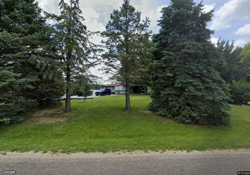
This home is located at 525 Kramer Rd, Avon, IL 61415 and is currently estimated at $247,335. 525 Kramer Rd is a home with nearby schools including Avon Elementary School, Hedding Grade School, and Abingdon-Avon Middle School.
Ownership History
Date
Name
Owned For
Owner Type
Purchase Details
Closed on
Sep 25, 2008
Sold by
Lock Terry D
Bought by
Unrath Craig L and Unrath Jerlynn L
Current Estimated Value
Home Financials for this Owner
Home Financials are based on the most recent Mortgage that was taken out on this home.
Original Mortgage
$98,000
Outstanding Balance
$65,604
Interest Rate
6.57%
Mortgage Type
New Conventional
Estimated Equity
$181,731
Purchase Details
Closed on
Apr 26, 2006
Sold by
Cook Everett H and Cook Bertha H
Bought by
Lock Terry D and Lock Cherie A
Create a Home Valuation Report for This Property
The Home Valuation Report is an in-depth analysis detailing your home's value as well as a comparison with similar homes in the area
Purchase History
| Date | Buyer | Sale Price | Title Company |
|---|---|---|---|
| Unrath Craig L | $122,500 | None Available | |
| Lock Terry D | $120,000 | None Available |
Source: Public Records
Mortgage History
| Date | Status | Borrower | Loan Amount |
|---|---|---|---|
| Open | Unrath Craig L | $98,000 |
Source: Public Records
Tax History
| Year | Tax Paid | Tax Assessment Tax Assessment Total Assessment is a certain percentage of the fair market value that is determined by local assessors to be the total taxable value of land and additions on the property. | Land | Improvement |
|---|---|---|---|---|
| 2024 | $3,998 | $50,930 | $12,190 | $38,740 |
| 2023 | $3,998 | $48,170 | $11,530 | $36,640 |
| 2022 | $3,655 | $44,790 | $10,720 | $34,070 |
| 2021 | $3,540 | $43,440 | $10,400 | $33,040 |
| 2020 | $3,691 | $43,440 | $10,400 | $33,040 |
| 2019 | $3,601 | $42,580 | $10,190 | $32,390 |
| 2018 | $3,620 | $42,880 | $10,260 | $32,620 |
| 2017 | $3,554 | $42,030 | $10,060 | $31,970 |
| 2016 | $3,465 | $41,060 | $9,830 | $31,230 |
| 2015 | -- | $39,520 | $9,460 | $30,060 |
| 2014 | -- | $38,970 | $9,330 | $29,640 |
| 2013 | -- | $39,880 | $9,550 | $30,330 |
Source: Public Records
Map
Nearby Homes
- 140 Palemino Dr
- 21 Bricker Cir
- 495 Kramer Rd
- 35 Shady Ln
- Lot 14 Bricker Cir
- Lot 437 Horseshoe Dr
- 20620 N 2300 Rd
- 897 20th Ave
- 235 N Smith St
- 306 S Main St
- 203 E Washington St
- 108 E Grant St
- 307 E Clinton
- 15315 N 2200th Rd
- 190 W Gossett St
- 180 E Penn Ave
- 0 N 7 Hills Rd
- 390 S Jefferson St
- 230 S Main St
- 305 N Chamberlain St
Your Personal Tour Guide
Ask me questions while you tour the home.