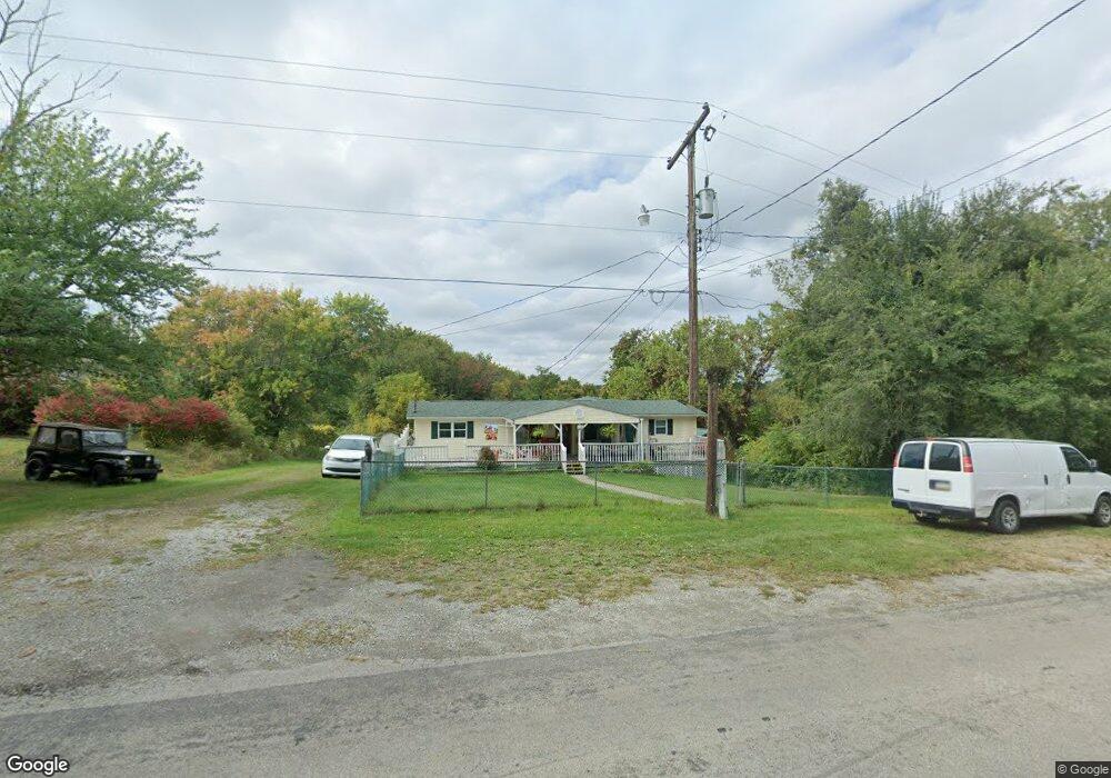
525 Mckee Rd Washington, PA 15301
Estimated Value: $67,000 - $93,000
1
Bed
1
Bath
604
Sq Ft
$136/Sq Ft
Est. Value
About This Home
This home is located at 525 Mckee Rd, Washington, PA 15301 and is currently estimated at $81,940, approximately $135 per square foot. 525 Mckee Rd is a home located in Washington County with nearby schools including Mcguffey High School.
Ownership History
Date
Name
Owned For
Owner Type
Purchase Details
Closed on
Sep 30, 2020
Sold by
Findlay Zita L and Estate Of Patrick J Findlay
Bought by
Findlay Zita L
Current Estimated Value
Purchase Details
Closed on
Oct 17, 2007
Sold by
Smith Cheryl A
Bought by
Citibank
Purchase Details
Closed on
Jun 27, 2007
Sold by
Citibank
Bought by
Glunt Randall G
Home Financials for this Owner
Home Financials are based on the most recent Mortgage that was taken out on this home.
Original Mortgage
$33,950
Interest Rate
6.37%
Mortgage Type
New Conventional
Create a Home Valuation Report for This Property
The Home Valuation Report is an in-depth analysis detailing your home's value as well as a comparison with similar homes in the area
Home Values in the Area
Average Home Value in this Area
Purchase History
We collect this data history from publicly available records. To have your information removed, we recommend requesting removal directly through your county’s website.
| Date | Buyer | Sale Price | Title Company |
|---|---|---|---|
| Findlay Zita L | -- | None Available | |
| Citibank | $1,194 | -- | |
| Glunt Randall G | $37,740 | -- |
Source: Public Records
Mortgage History
We collect this data history from publicly available records. To have your information removed, we recommend requesting removal directly through your county’s website.
| Date | Status | Borrower | Loan Amount |
|---|---|---|---|
| Previous Owner | Glunt Randall G | $33,950 |
Source: Public Records
Tax History
| Year | Tax Paid | Tax Assessment Tax Assessment Total Assessment is a certain percentage of the fair market value that is determined by local assessors to be the total taxable value of land and additions on the property. | Land | Improvement |
|---|---|---|---|---|
| 2025 | $876 | $44,100 | $24,500 | $19,600 |
| 2024 | $772 | $44,100 | $24,500 | $19,600 |
| 2023 | $772 | $44,100 | $24,500 | $19,600 |
| 2022 | $747 | $44,100 | $24,500 | $19,600 |
| 2021 | $736 | $44,100 | $24,500 | $19,600 |
| 2020 | $736 | $44,100 | $24,500 | $19,600 |
| 2019 | $721 | $44,100 | $24,500 | $19,600 |
| 2018 | $730 | $44,100 | $24,500 | $19,600 |
| 2017 | $119 | $44,100 | $24,500 | $19,600 |
| 2016 | $119 | $4,776 | $2,024 | $2,752 |
| 2015 | $26 | $4,776 | $2,024 | $2,752 |
| 2014 | $119 | $4,776 | $2,024 | $2,752 |
| 2013 | $119 | $4,776 | $2,024 | $2,752 |
Source: Public Records
Map
Nearby Homes
- 000 Mckee Rd
- 626 Mckee Rd
- 176 Ashmore Rd
- 3492 Route 40
- 199 Mcclay Rd
- 195 Lacock St
- 502 Bower Ave
- 6 Milbeck Dr
- 2667 Jefferson Ave
- 1852 Virginia Viaduct
- 69 Hewitt Ave
- 952 Murphy Dr
- 2172 Jefferson Ave
- 944 W Wylie Ave
- 389 Rural Valley Rd
- 4 Dogwood Dr
- 1824 Jefferson Ave
- 0 Williams St Unit 1740097
- 108 Oakwood Ave
- 180 Hilltop Ln
Your Personal Tour Guide
Ask me questions while you tour the home.